
MyTopo
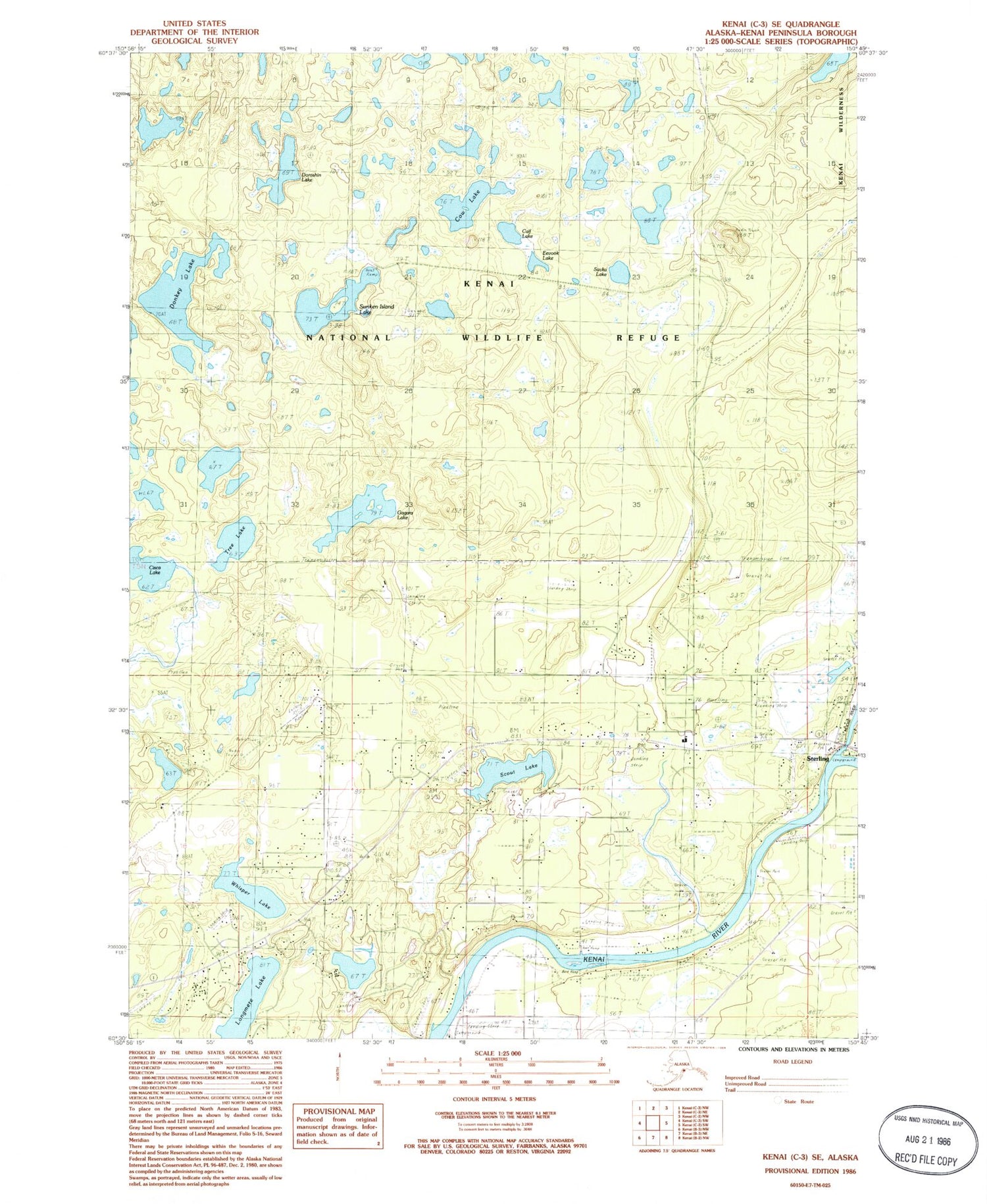
Classic USGS Kenai C-3 SE Alaska 7.5'x7.5' Topo Map
Couldn't load pickup availability
Historical USGS topographic quad map of Kenai C-3 SE in the state of Alaska. Map scale may vary for some years, but is generally around 1:24,000. Print size is approximately 24" x 27"
This quadrangle is in the following counties: Kenai Peninsula.
The map contains contour lines, roads, rivers, towns, and lakes. Printed on high-quality waterproof paper with UV fade-resistant inks, and shipped rolled.
Contains the following named places: Calf Lake, Central Emergency Services Station 3 Sterling Station, Cisca Lake, Cow Lake, Donkey Lake, Doroshin Lake, Dutch Landing Strip, Eevook Lake, Funny River, Gagara Lake, Longmere Lake, Moose River, Phils Airport, Savka Lake, Scooter's Landing Strip, Scout Lake, Scout Lake Seaplane Base, Scout Lake State Recreation Site, Sterling, Sterling Air Park, Sterling Census Designated Place, Sunken Island Lake, Tree Lake, Whisper Lake


