
MyTopo
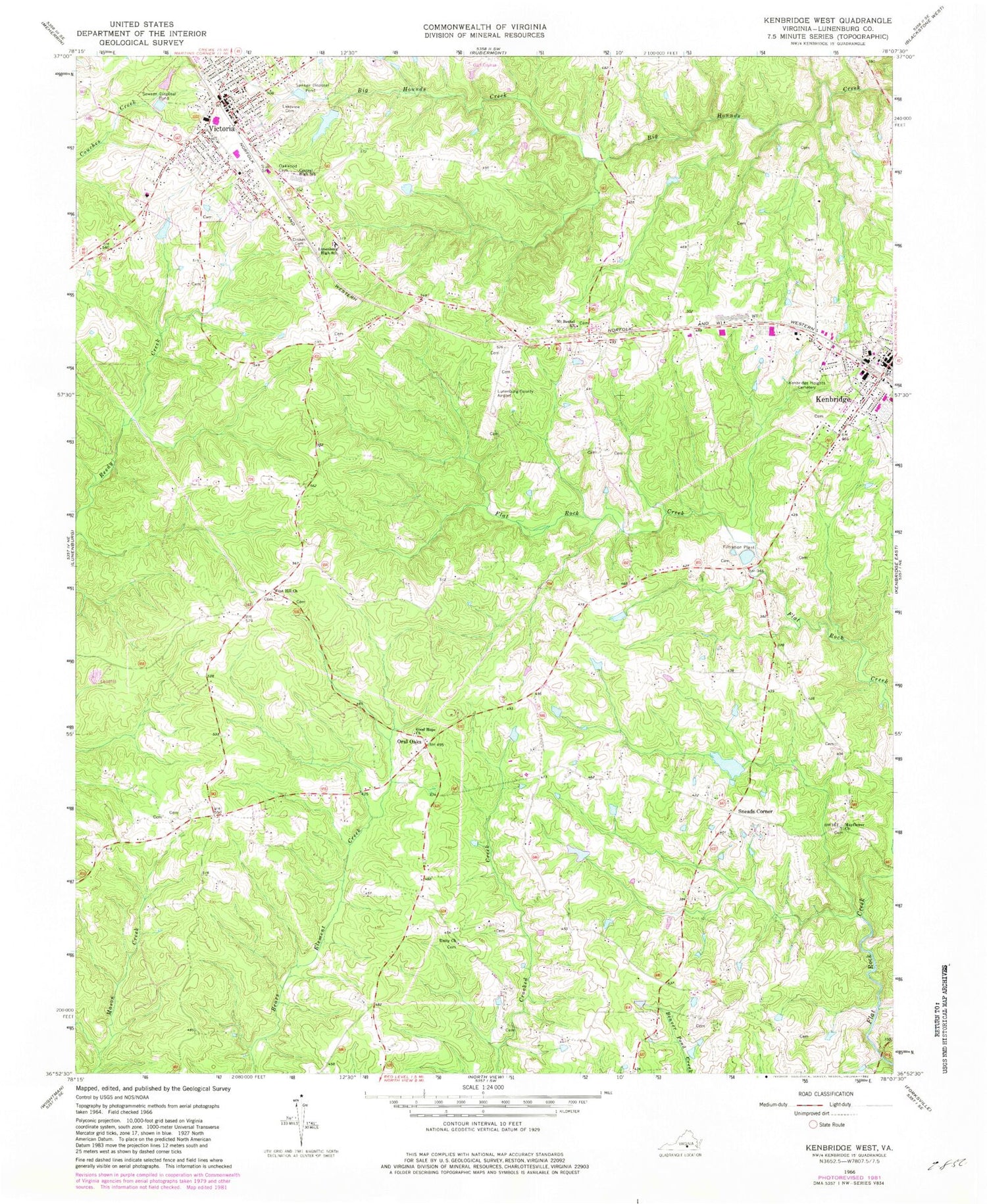
Classic USGS Kenbridge West Virginia 7.5'x7.5' Topo Map
Couldn't load pickup availability
Historical USGS topographic quad map of Kenbridge West in the state of Virginia. Map scale may vary for some years, but is generally around 1:24,000. Print size is approximately 24" x 27"
This quadrangle is in the following counties: Lunenburg.
The map contains contour lines, roads, rivers, towns, and lakes. Printed on high-quality waterproof paper with UV fade-resistant inks, and shipped rolled.
Contains the following named places: Beech Forest, Browns Store District, Central High School, Church of Christ, Church of the Nazarene, First Baptist Church, Gilfield Reformed Zion Union Apostolic Church, Gilfield Zion United Methodist Church, Good Hope Church, Kenbridge Dam, Kenbridge Heights Cemetery, Kenbridge Volunteer Fire Department, Lakeview Cemetery, Lunenburg Beach, Lunenburg Beach Dam, Lunenburg Beach Reservoir, Lunenburg County, Lunenburg County Airport, Lunenburg High School, Lunenburg Middle School, Marshall Dam, Mayflower Church, Mount Bethel Church, Non Intervention, Oakwood Cemetery, Oral Oaks, Sneads Corner, Sneads Dam, Sneads Pond, Town of Kenbridge, Town of Victoria, Unity Church, Unity School, Victoria, Victoria Baptist Church, Victoria Elementary School, Victoria Fire and Rescue, Victoria Fire Department, Victoria High School, Victoria Methodist Church, Victoria Police Department, Victoria Post Office, Victoria Presbyterian Church, West Hill Church, ZIP Code: 23944


