MyTopo
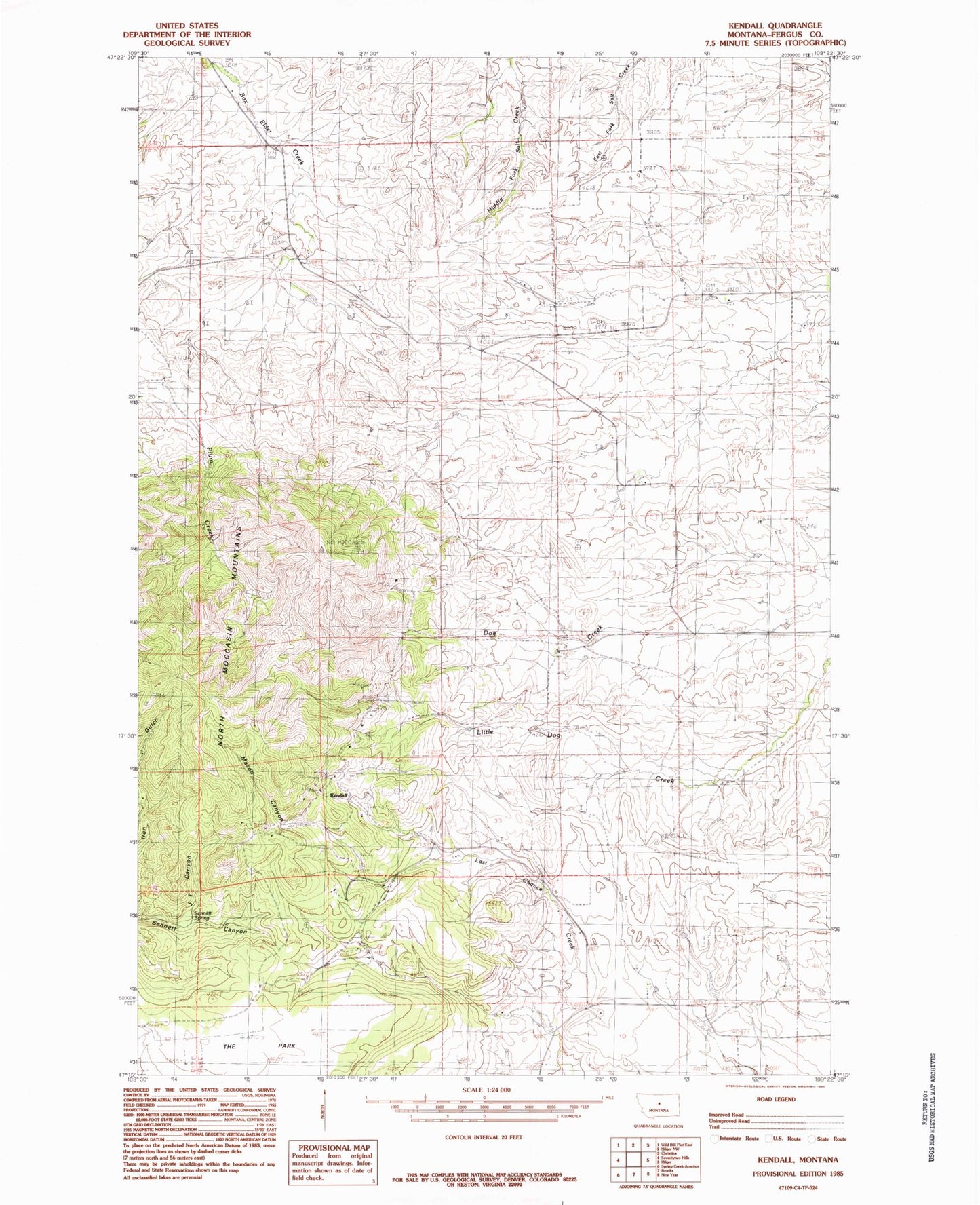
Classic USGS Kendall Montana 7.5'x7.5' Topo Map
Couldn't load pickup availability
Historical USGS topographic quad map of Kendall in the state of Montana. Map scale may vary for some years, but is generally around 1:24,000. Print size is approximately 24" x 27"
This quadrangle is in the following counties: Fergus.
The map contains contour lines, roads, rivers, towns, and lakes. Printed on high-quality waterproof paper with UV fade-resistant inks, and shipped rolled.
Contains the following named places: 17N18E06AAD_01 Well, 18N18E05BBA_01 Well, 18N18E06DCD_01 Well, 18N18E15BDA_01 Well, Abbey Adit Mine, Abbey Shaft, Box Elder School, Dog Creek Number 1 Mine, Dog Creek School, Golden Discovery Mine, Green Mountain School, Hanover Division, Iron Gulch Mine, Jack Lund Mine, JT Canyon, JT Canyon Shaft, Kendall, Kendall Cemetery, Kendall Venture Mine, Mason Canyon, Mason Canyon Number 1 Mine, North Moccasin Mountains, Plum Creek Number 1 Mine, Sennett Spring, The Park