MyTopo
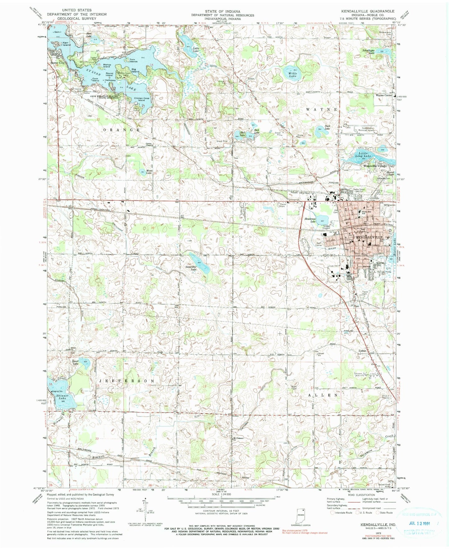
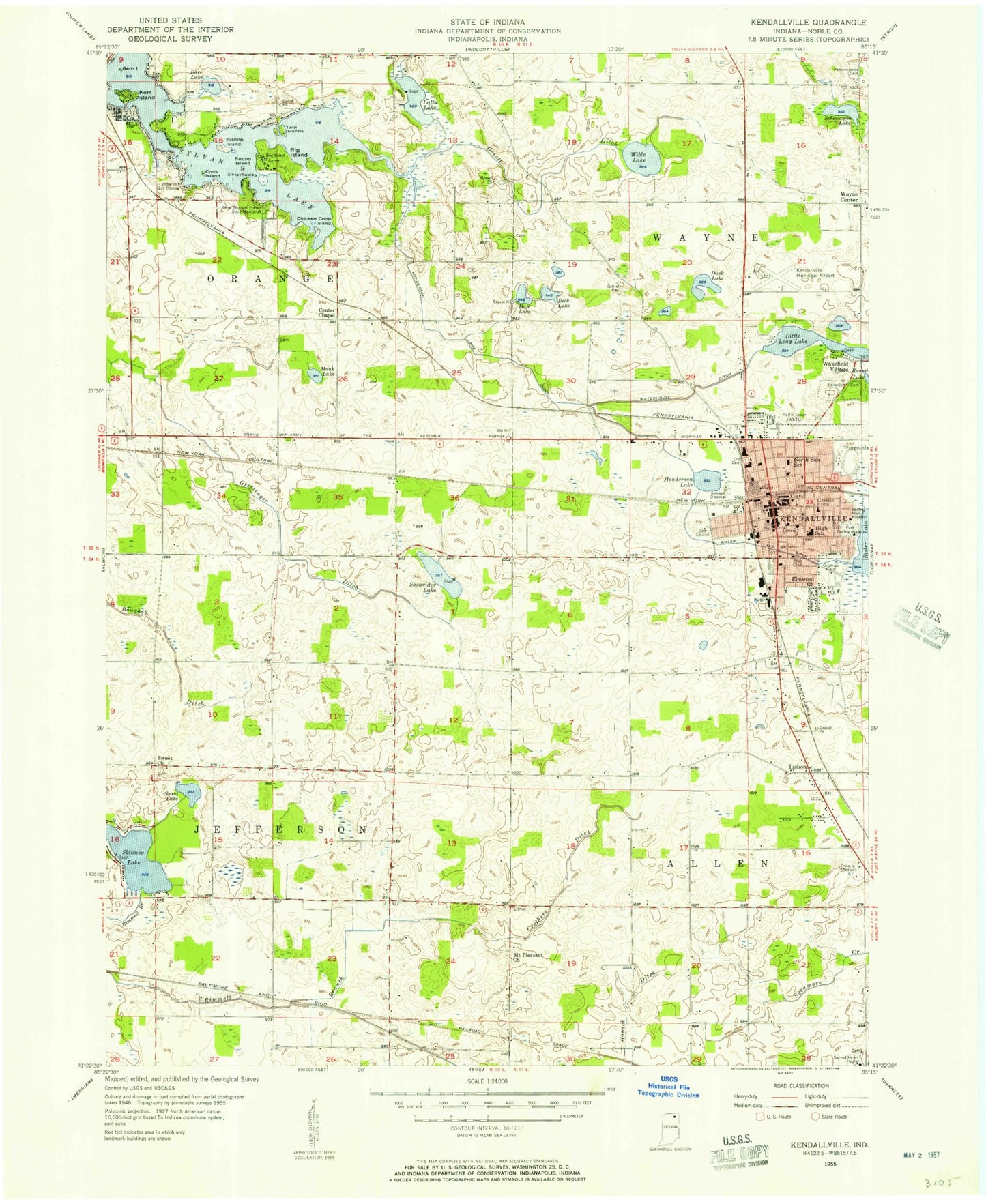
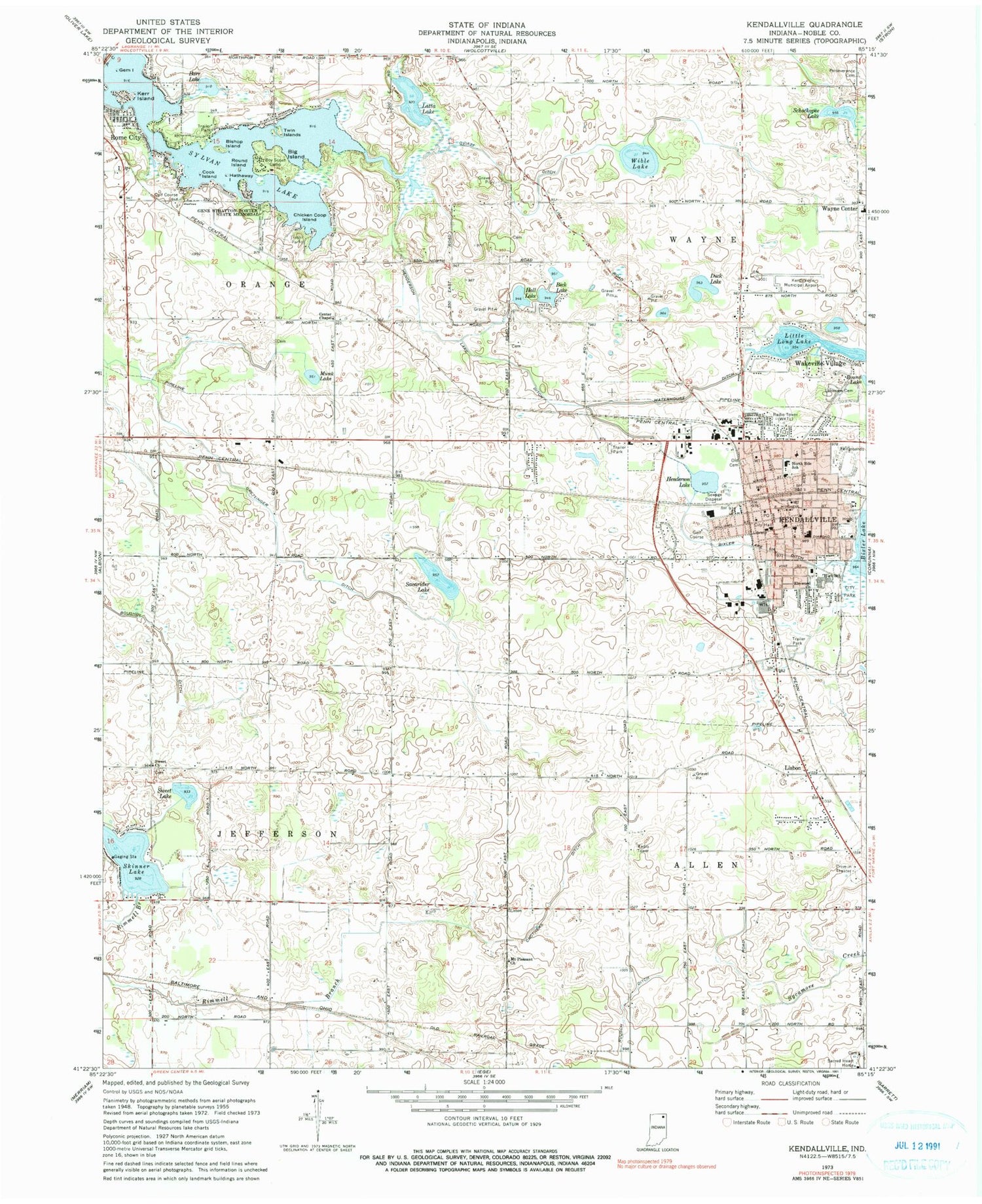
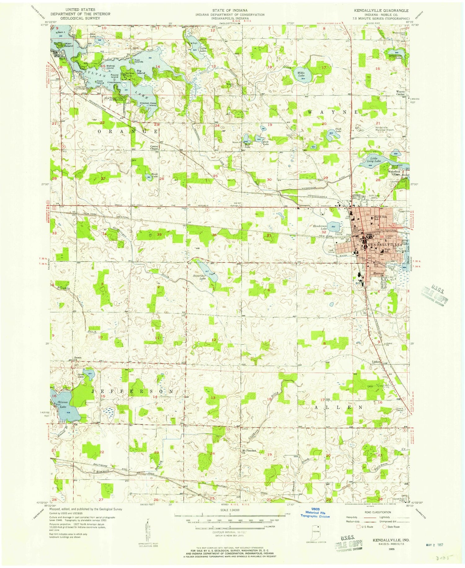
Classic USGS Kendallville Indiana 7.5'x7.5' Topo Map
Couldn't load pickup availability
Historical USGS topographic quad map of Kendallville in the state of Indiana. Map scale may vary for some years, but is generally around 1:24,000. Print size is approximately 24" x 27"
This quadrangle is in the following counties: Noble.
The map contains contour lines, roads, rivers, towns, and lakes. Printed on high-quality waterproof paper with UV fade-resistant inks, and shipped rolled.
Contains the following named places: Barr Lake, Beck Lake, Big Island, Bishop Island, Bixler Lake Ditch, Boughey Ditch, Center Chapel, Central Elementary School, Chicken Coop Island, City of Kendallville, Cook Island, Crothers Ditch, Duck Lake, East Noble High School, Elmwood Church, Gem Island, Gene Stratton Porter State Memorial, Gretzinger Ditch, Hall Lake, Hathaway Island, Henderson Lake, Henderson Lake Ditch, Immanuel Lutheran Cemetery, Kendallville, Kendallville Fire Department Station 1, Kendallville Fire Department Station 2 Headquarters, Kendallville Middle School, Kendallville Municipal Airport, Kendallville Police Department, Kendallville Post Office, Kerr Island, Lake View Cemetery, Latta Lake, Lisbon, Little Long Lake, Mount Pleasant Church, Munk Lake, North Side Elementary School, Old Kendallville Cemetery, Oviatt Ditch, Parkview Noble Hospital, Perseverance Cemetery, Rimmell Branch, Round Island, Sacarider Lake, Schockopee Lake, Skinner Lake, Sweet Church, Sweet Lake, Sylvan Lake, Town of Rome City, Township of Allen, Township of Jefferson, Township of Orange, Township of Wayne, Twin Island, Varner Sand and Gravel Pit, Wakeville Village, Waterhouse Ditch, WAWF-FM (Kendallville), WAWK-AM (Kendallville), Wayne Center, Wayne Center Elementary School, Wible Lake, ZIP Code: 46755


