MyTopo
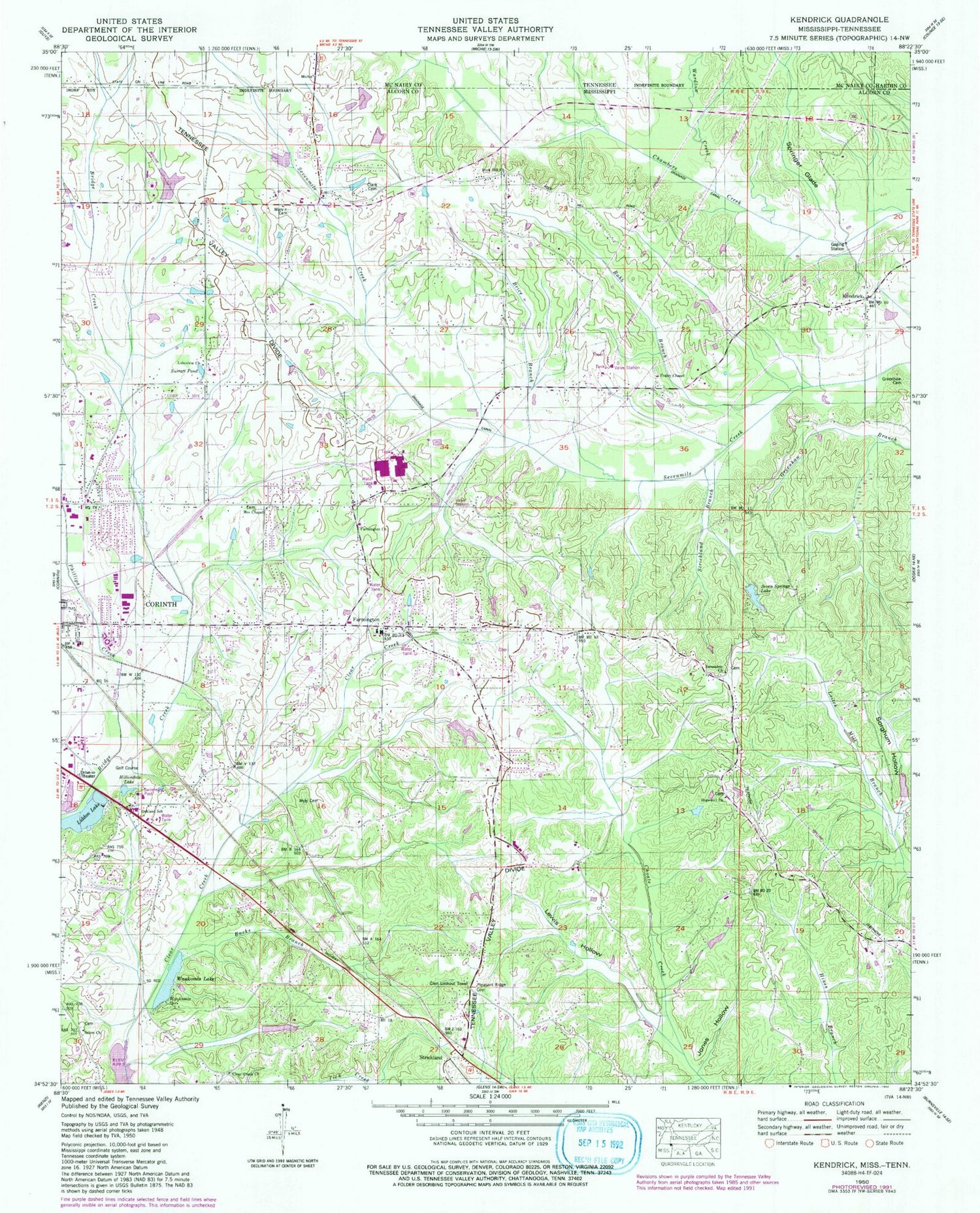
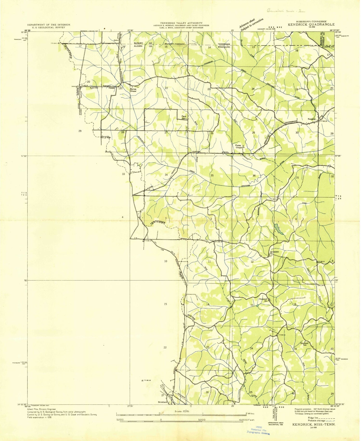
Classic USGS Kendrick Mississippi 7.5'x7.5' Topo Map
Couldn't load pickup availability
Historical USGS topographic quad map of Kendrick in the state of Mississippi. Map scale may vary for some years, but is generally around 1:24,000. Print size is approximately 24" x 27"
This quadrangle is in the following counties: Alcorn, Hardin, McNairy.
The map contains contour lines, roads, rivers, towns, and lakes. Printed on high-quality waterproof paper with UV fade-resistant inks, and shipped rolled.
Contains the following named places: Alcorn Central Elementary School, Alcorn Central High School, Babb Branch, Battery A, Box Chapel Methodist Church, Brice Branch, Bucks Branch, Clark's Cemetery, Clear Creek Church, Clear Creek School, Corinth Fire Department Station 4, Farmington, Farmington Academy, Farmington Baptist Church, Farmington Fire and Rescue, Farmington School, Field School, Fraleys Chapel Church of Christ, Glen Lookout Tower, Greenhaw Cemetery, Hillandale Country Club, Hillandale Lake, Hopewell Methodist Church, Hopewell School, Jerusalem Church, Jones Hollow, Kendrick, Lakeview Missionary Baptist Church, Lewis Hollow, Liddon Lake, Marvin Cemetery, Marvin Church, Marvin School, McGlathery School, Oak Hill Christian School, Oakland Baptist Church, Oakland School, Phillips Creek, Pinecrest Baptist Church, Pleasant Ridge Cemetery, Potts Store, Rock Hill Church, Salem Church, Scsally School, Seven Springs Lake, Sevenmile Creek Drainage Ditch, Sorghum Hollow, Springer Glade, Strickland, Strickland Branch, Surratt Pond, Town of Farmington, Wardlow Creek, Waukomis Lake, Waukomis Spring, Wiley Grove Church Cemetery African American


