
MyTopo
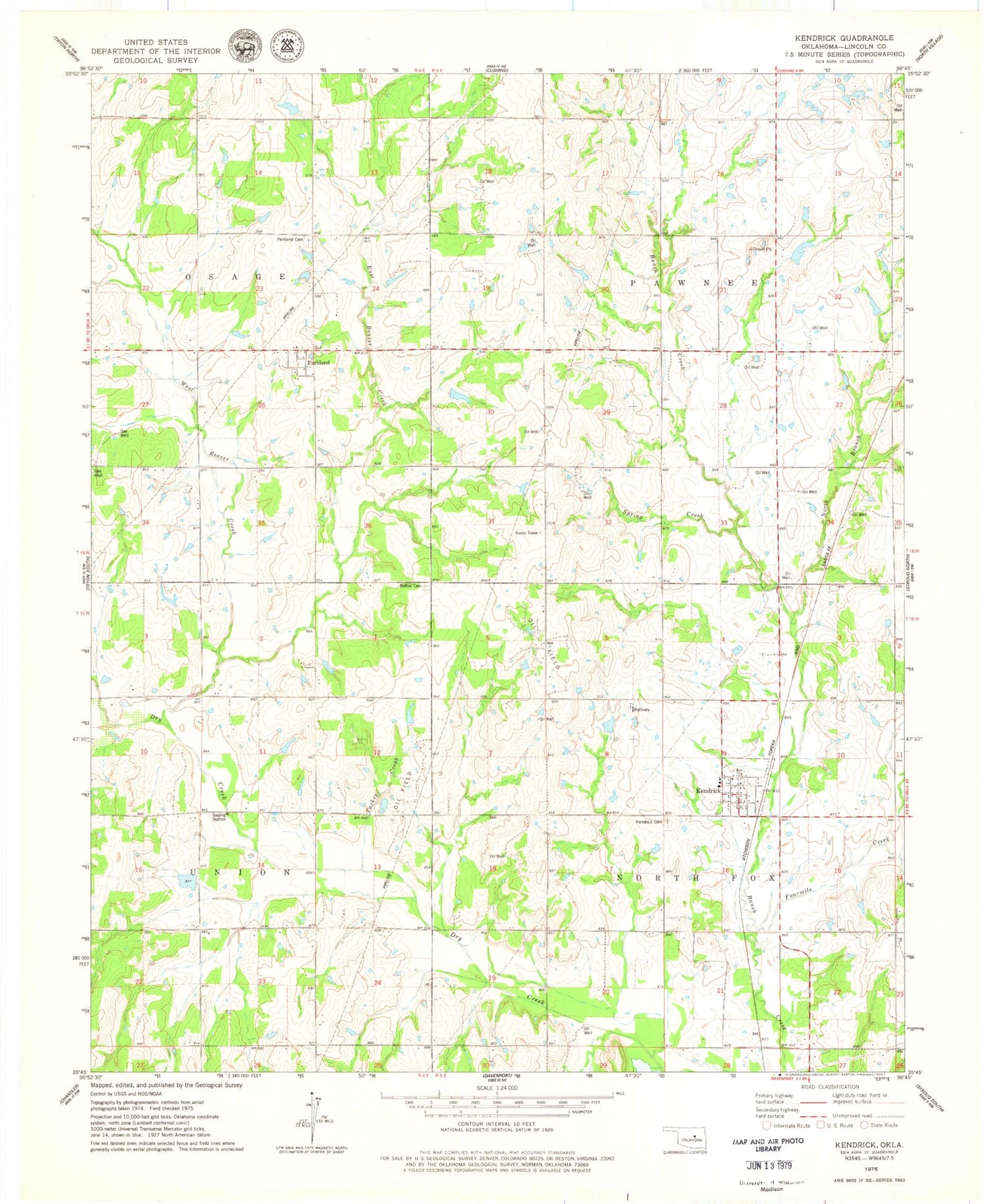
Classic USGS Kendrick Oklahoma 7.5'x7.5' Topo Map
Couldn't load pickup availability
Historical USGS topographic quad map of Kendrick in the state of Oklahoma. Map scale may vary for some years, but is generally around 1:24,000. Print size is approximately 24" x 27"
This quadrangle is in the following counties: Lincoln.
The map contains contour lines, roads, rivers, towns, and lakes. Printed on high-quality waterproof paper with UV fade-resistant inks, and shipped rolled.
Contains the following named places: Beaver Creek, Bethel Greenwood Cemetery, East Beaver Creek, Fourmile Creek, Grass Strip, Kendrick, Kendrick Cemetery, Kendrick Volunteer Fire Department, North Branch Ranch Creek, Oknoname 08105 Dam, Oknoname 08105 Reservoir, Oknoname 08114 Dam, Oknoname 08114 Reservoir, Oknoname 08115 Dam, Oknoname 08115 Reservoir, Parkland, Parkland Cemetery, Spring Creek, Town of Kendrick, Township of North Fox, Turkey Creek, West Beaver Creek


