MyTopo
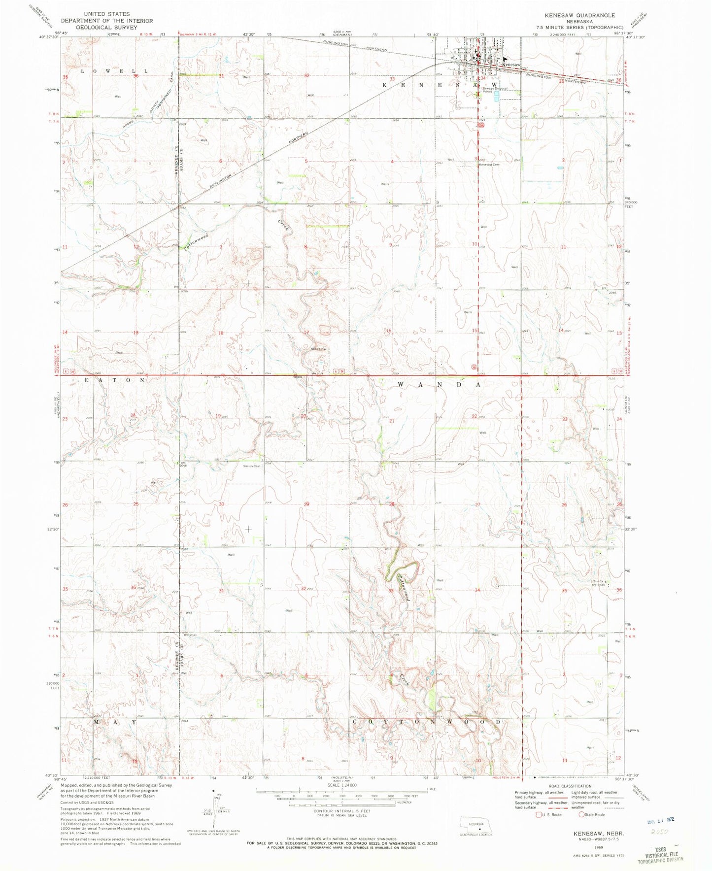
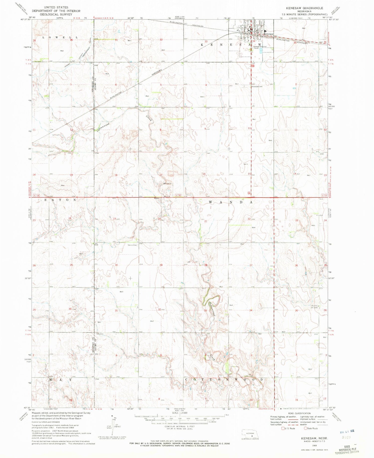
Classic USGS Kenesaw Nebraska 7.5'x7.5' Topo Map
Couldn't load pickup availability
Historical USGS topographic quad map of Kenesaw in the state of Nebraska. Map scale may vary for some years, but is generally around 1:24,000. Print size is approximately 24" x 27"
This quadrangle is in the following counties: Adams, Kearney.
The map contains contour lines, roads, rivers, towns, and lakes. Printed on high-quality waterproof paper with UV fade-resistant inks, and shipped rolled.
Contains the following named places: Adams County Waterfowl Production Area, Haven Home of Kenesaw, Kenesaw, Kenesaw Cemetery, Kenesaw Lutheran Church, Kenesaw Post Office, Kenesaw Presbyterian Church, Kenesaw Public Schools, Kenesaw Volunteer Fire Department, Sacred Heart Catholic Church, Sand Hill, Shiloh Cemetery, Shurigar Bros Dam, Shurigar Brothers Lake, Township of Wanda, United Methodist Church, Village of Kenesaw, Zion Church