MyTopo
Classic USGS Kenna New Mexico 7.5'x7.5' Topo Map
Couldn't load pickup availability
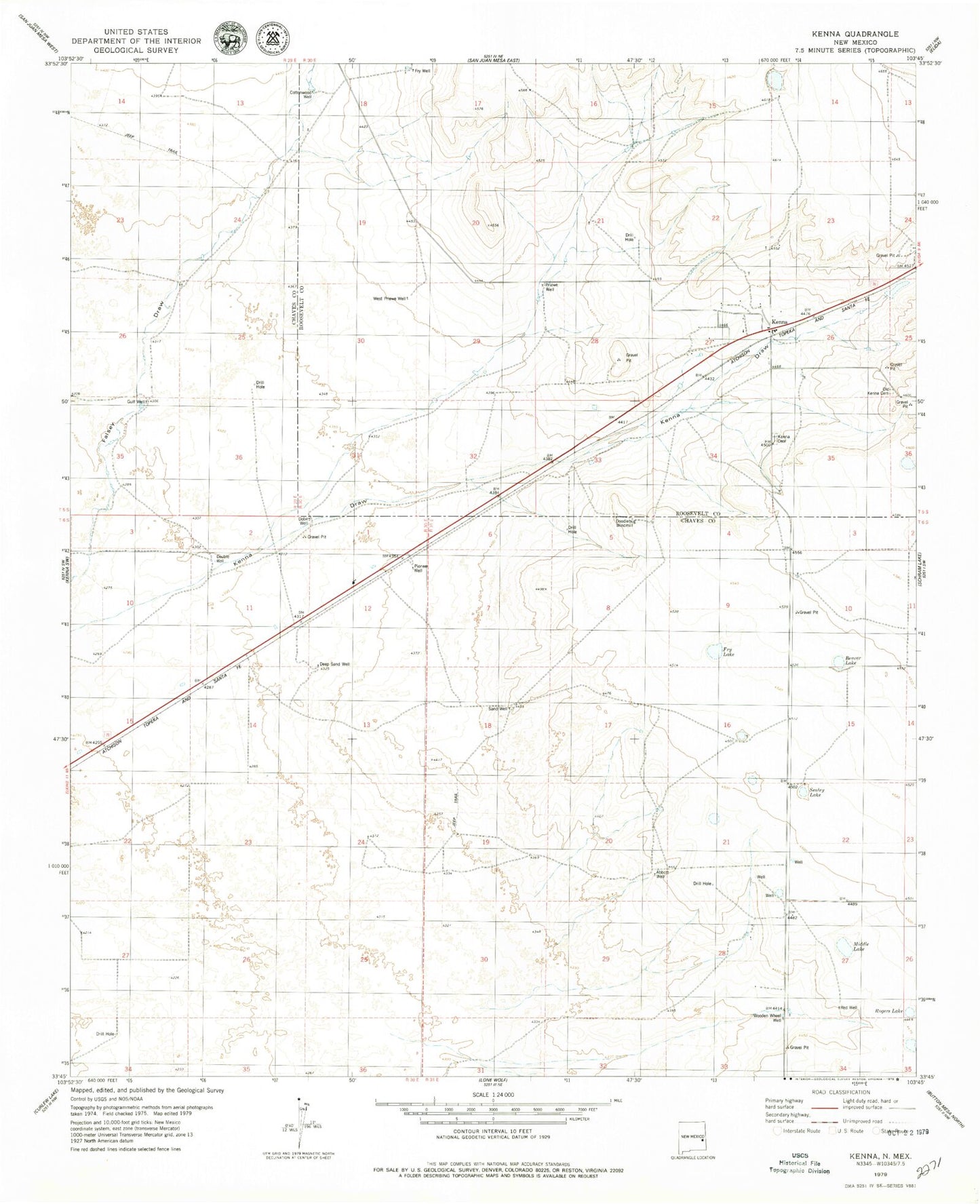
Historical USGS topographic quad map of Kenna in the state of New Mexico. Map scale may vary for some years, but is generally around 1:24,000. Print size is approximately 24" x 27"
This quadrangle is in the following counties: Chaves, Roosevelt.
The map contains contour lines, roads, rivers, towns, and lakes. Printed on high-quality waterproof paper with UV fade-resistant inks, and shipped rolled.
Contains the following named places: 06093 Water Well, 06094 Water Well, 06097 Water Well, 06098 Water Well, 06159 Water Well, 06162 Water Well, 06163 Water Well, Abbott Well, Beaver Lake, Cottonwood Well, Deep Sand Well, Dobe Well, Doodlebug Windmill, Double Well, Fry Lake, Gulf Well, Kenna, Kenna Cemetery, Kenna Community Church, Kenna Post Office, Middle Lake, Old Kenna Cemetery, Pioneer Well, Priewe Well, Red Well, Rogers Lake, Sand Well, Sealey Lake, West Priewe Well, Wooden Wheel Well