MyTopo
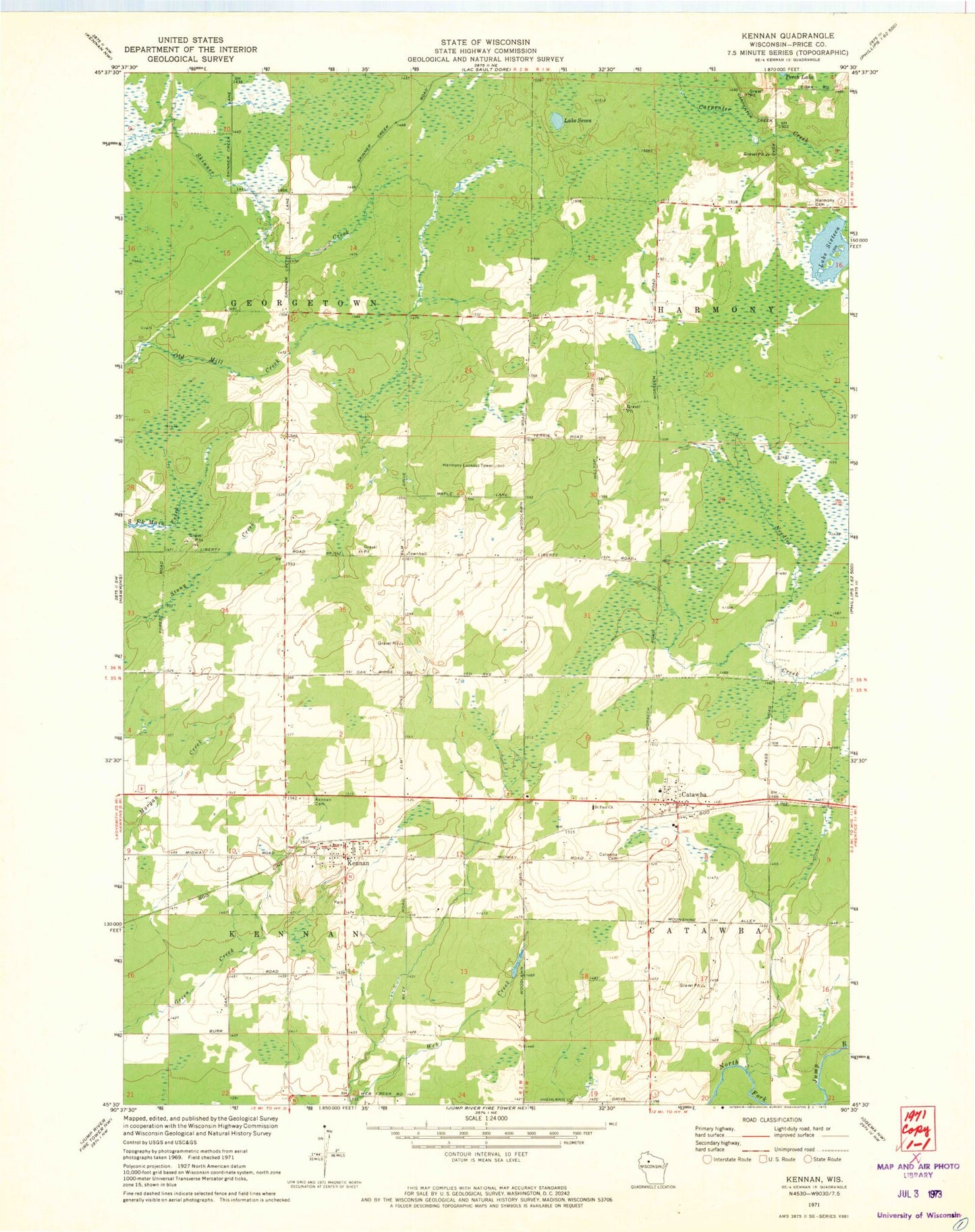
Classic USGS Kennan Wisconsin 7.5'x7.5' Topo Map
Couldn't load pickup availability
Historical USGS topographic quad map of Kennan in the state of Wisconsin. Map scale may vary for some years, but is generally around 1:24,000. Print size is approximately 24" x 27"
This quadrangle is in the following counties: Price.
The map contains contour lines, roads, rivers, towns, and lakes. Printed on high-quality waterproof paper with UV fade-resistant inks, and shipped rolled.
Contains the following named places: Bolger 2WP266 Dam, Catawba, Catawba - Harmony Volunteer Fire Department, Catawba Cemetery, Catawba Middle School, Catawba Post Office, Forest Vale School, Georgetown Townhall, Harmony Cemetery, Harmony Lookout Tower, Johnston School, Kennan, Kennan - Georgetown Volunteer Fire Department, Kennan Cemetery, Kennan Elementary School, Kennan Post Office, Lake Seven, Martins Hill School, Old Mill School, Saint Paul Church, Town of Georgetown, Village of Catawba, Village of Kennan, ZIP Code: 54537