MyTopo
Classic USGS Kennebunkport Maine 7.5'x7.5' Topo Map
Couldn't load pickup availability
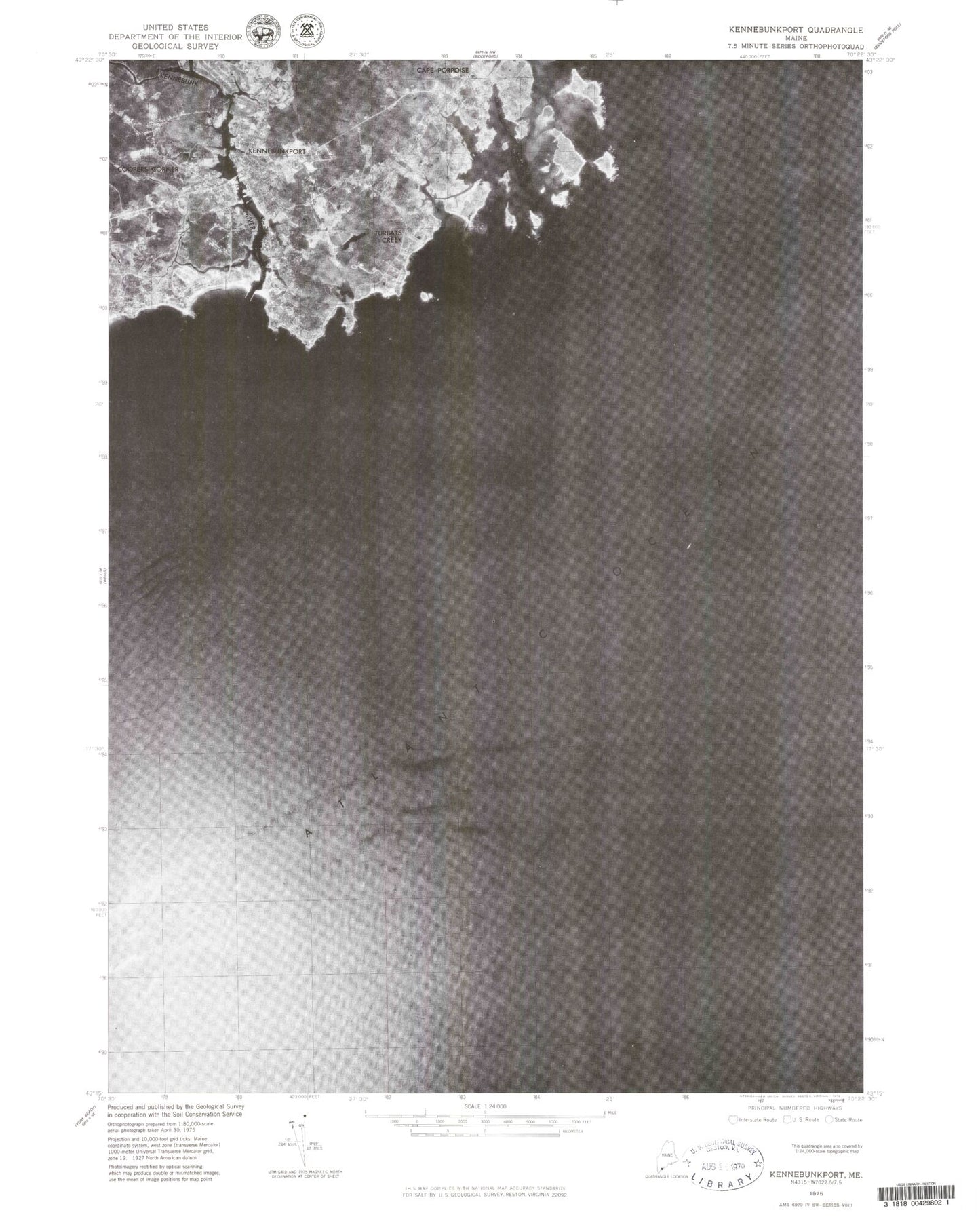
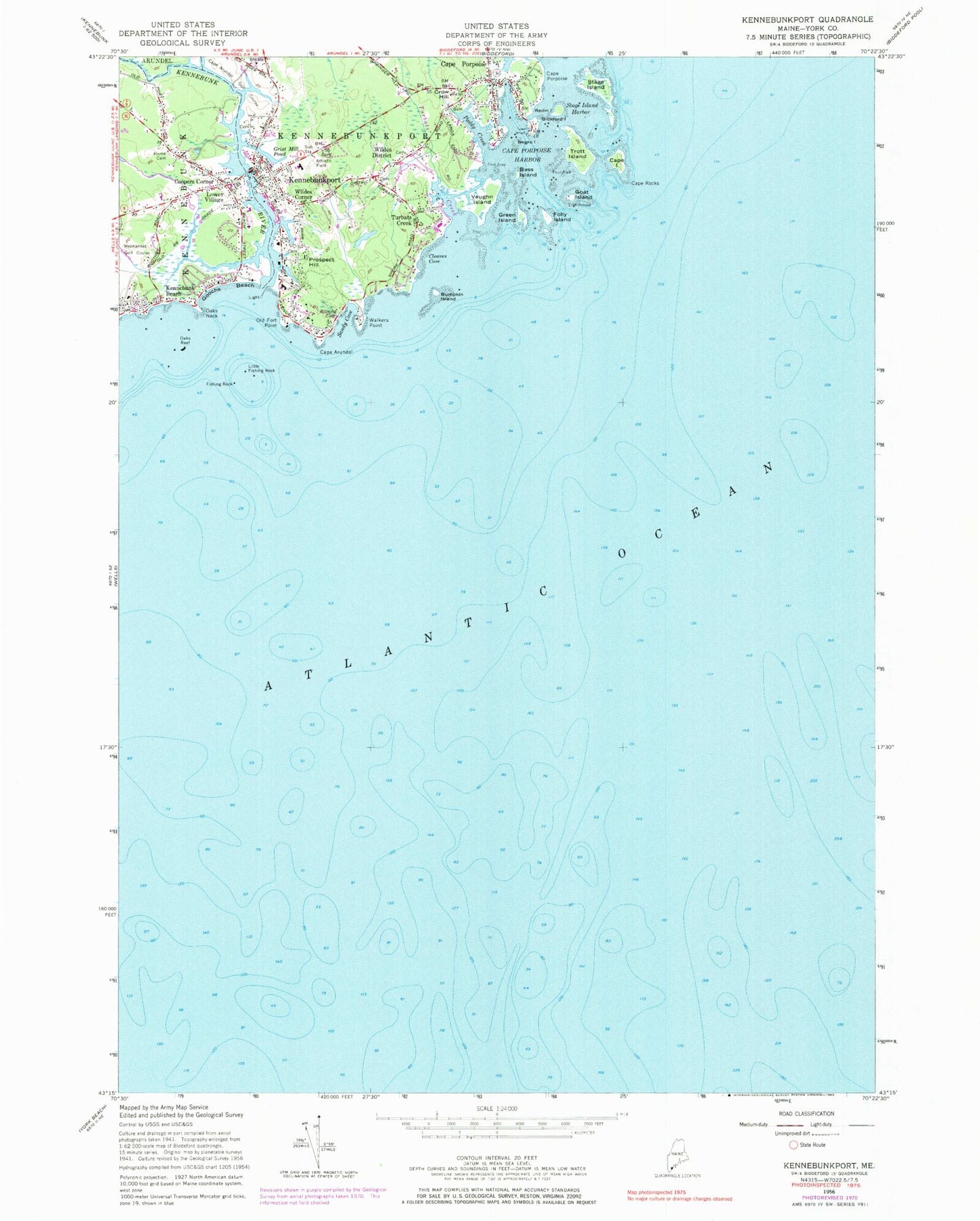
Historical USGS topographic quad map of Kennebunkport in the state of Maine. Typical map scale is 1:24,000, but may vary for certain years, if available. Print size: 24" x 27"
This quadrangle is in the following counties: York.
The map contains contour lines, roads, rivers, towns, and lakes. Printed on high-quality waterproof paper with UV fade-resistant inks, and shipped rolled.
Contains the following named places: Arundel Swamp Brook, Bass Island, Bickford Island, Bumpkin Island, Cape Arundel, Cape Island, Cape Porpoise, Cape Porpoise, Cape Porpoise Harbor, Cape Rocks, Cleaves Cove, Coopers Corner, Crow Hill, Fishing Rock, Folly Island, Goat Island, Goff Mill Brook, Goochs Beach, Green Island, Grist Mill Pond, Home Cemetery, Kennebunk River, Little Fishing Rock, Lower Village, Negro Island, Oaks Neck, Oaks Reef, Old Fort Point, Prospect Hill, Redin Island, Sandy Cove, Stage Island, Stage Island Harbor, Town Wharf, Trott Island, Turbats Creek, Vaughn Island, Walkers Point, Wildes Corner, Wildes District, Shackford Pond, Porpoise Cove, Old Prince, Paddy Creek, Turbats Creek, Cape Arundel Golf Course, Kennebunkport, Town of Kennebunkport, Arundel Beach, Arundel Yacht Club, Cape Arundel Summer Colony Historic District, Cape Porpoise Library, Cape Porpoise Pier, Cape Porpoise Post Office, Casino Hill, Chicks Marina, Church on the Cape Methodist Church, Community House, Dock Square, Franciscan Friary Library, Goat Island Light Station, Government Wharf, Henry Parsons Park, Kennebunk Marine Museum, Kennebunk River Club, Kennebunkport Camping Area, Kennebunkport Chamber of Commerce, Kennebunkport Consolidated School, Kennebunkport Historical Society Building, Kennebunkport Historical Society Library, Kennebunkport Municipal Offices, Kennebunkport Post Office, Kennebunkport Village Green, Little Stage Island, Lord Mansion Museum, Louis T Graves Memorial Library, Lower Village Park, Middle Beach, Mothers Beach, Old Road Forks (historical), Richard A Nott Memorial, Saint Anns by the Sea Episcopal Church, Saint Anthony Monastery, Saint Anthonys Catholic Chapel, Saint Marthas Catholic Church, Senior Center at Lower Village, South Congregational Church, Spouting Rock, Taintown Bridge, Trinity Episcopal Chapel, Vaughns Island Preserve, Village Baptist Church, Village Marketplace Shopping Center, Wildwood Baptist Chapel, Kennebunkport Historic District, Kennebunkport Census Designated Place, Kennebunkport Fire Department Wildes District Station, Kennebunkport Fire Department Port Village Station, Kennebunkport Fire Department Cape Porpoise Station, Kennebunk Fire and Rescue Washington Hose Company, Kennebunkport Harbor, Kennebunkport Emergency Medical Services, Kennebunkport Police Department, Deshon Dobson Cemetery, Cape Porpoise Cemetery