
MyTopo
Classic USGS Kennedy Creek Florida 7.5'x7.5' Topo Map
Couldn't load pickup availability
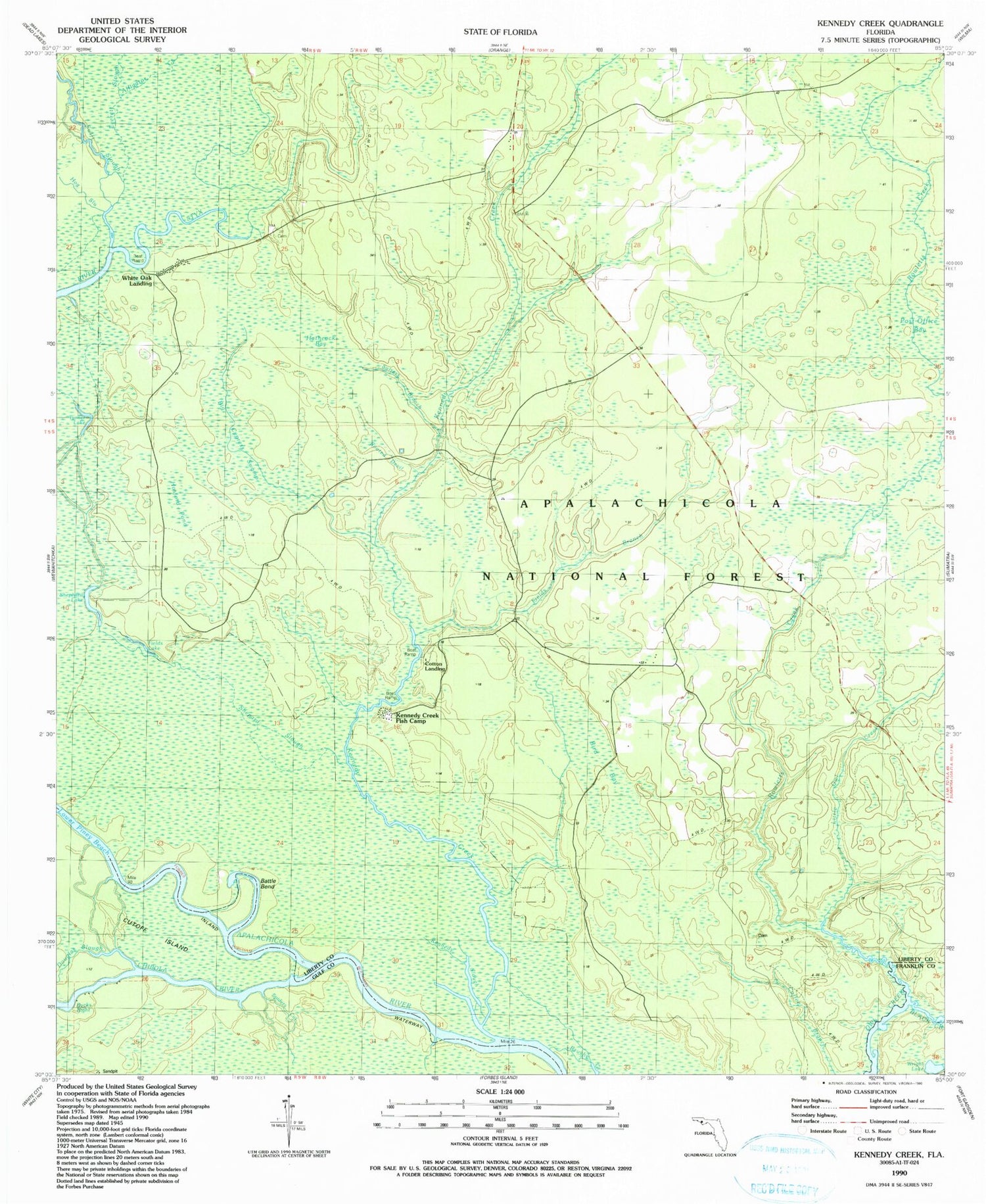
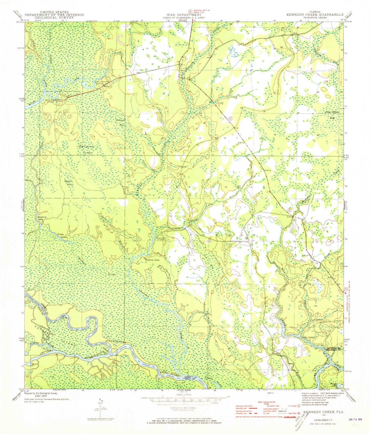
Historical USGS topographic quad map of Kennedy Creek in the state of Florida. Map scale may vary for some years, but is generally around 1:24,000. Print size is approximately 24" x 27"
This quadrangle is in the following counties: Franklin, Gulf, Liberty.
The map contains contour lines, roads, rivers, towns, and lakes. Printed on high-quality waterproof paper with UV fade-resistant inks, and shipped rolled.
Contains the following named places: Alligator Creek, Battle Bend, Big Cypress Swamp, Bird Bay, Black Creek, Bucks Bight, Chipola River, Cotton Landing, Cotton Landing Campground, Douglas Slough, Escambia, Fields Branch, Fields Lake, Graveyard Pole Lookout, Hathcock Bay, Hosford Pond, Kennedy Creek, Kennedy Creek Fish Camp, Kennedy Slough, Little Owl Creek, Lower Piney Reach, Owl Landing, Post Office Bay, Rooted Devil, Rowletts Creek, Salters Branch, Salty Branch, Shephard Lake, Shephard Slough, Solomon Lake, Spiders Gut, Swift Slough, Turner Lake, White Oak Landing, WHite Oak Landing Campground, Wright Lake, Wright Lake Recreation Site


