MyTopo
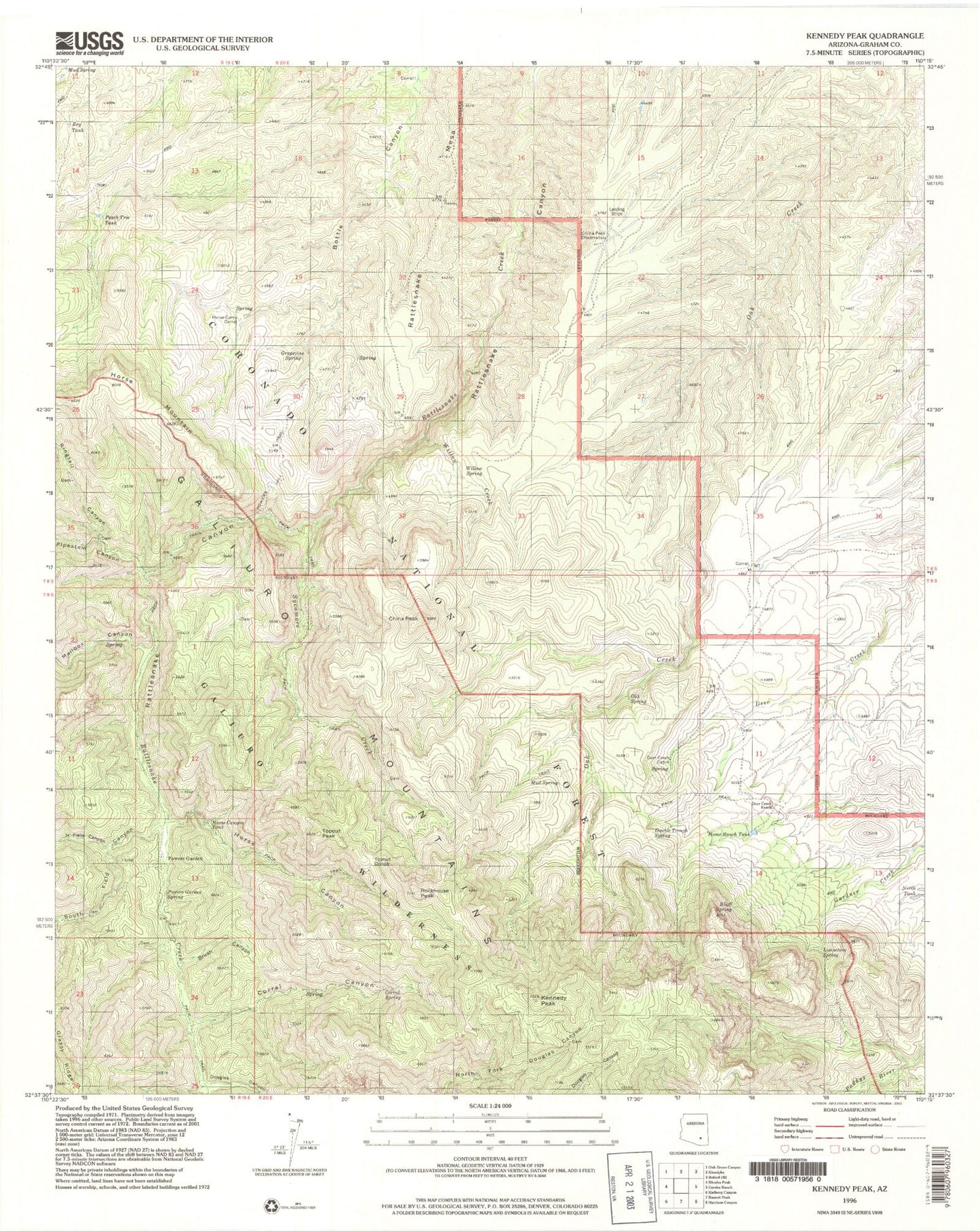
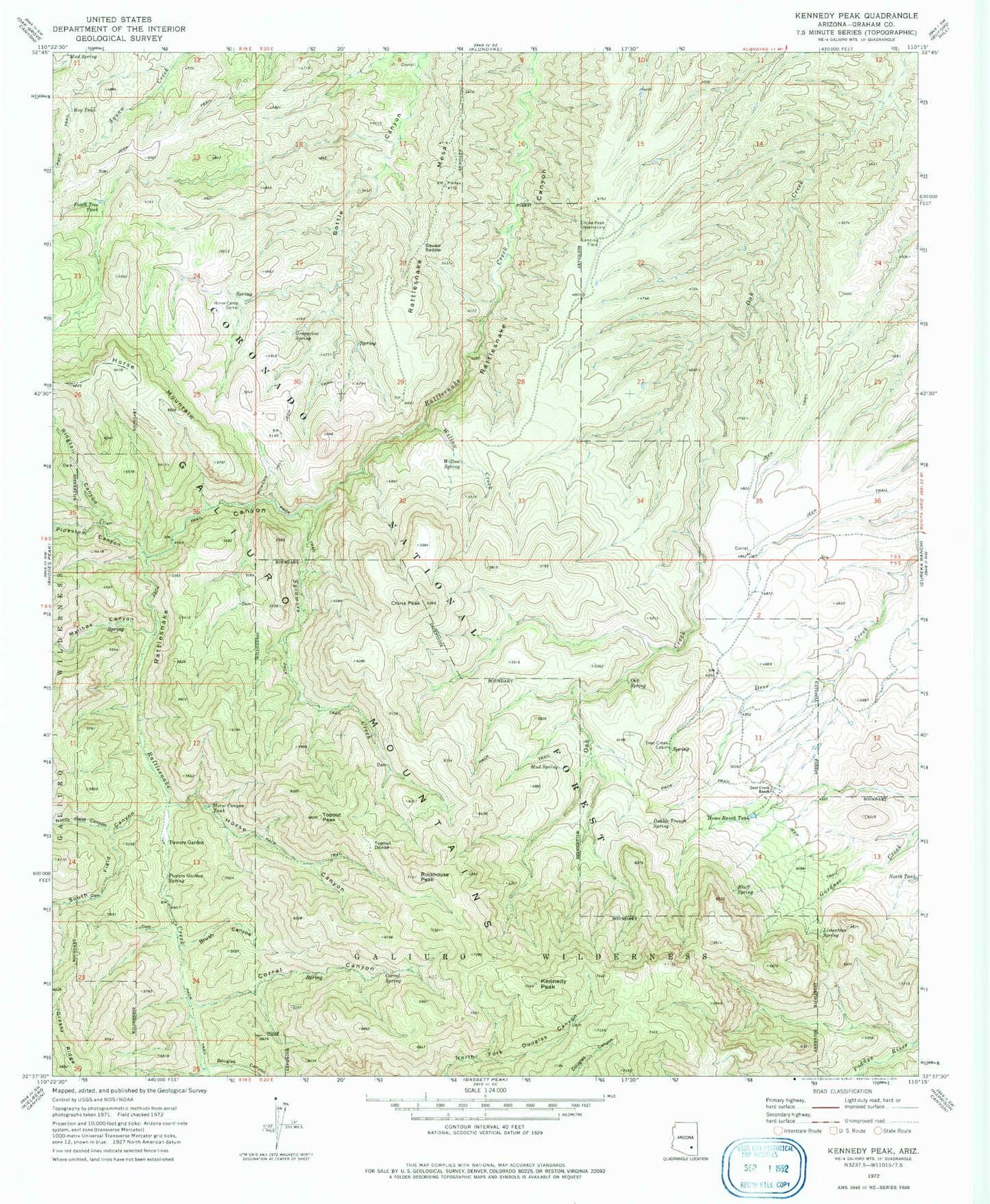
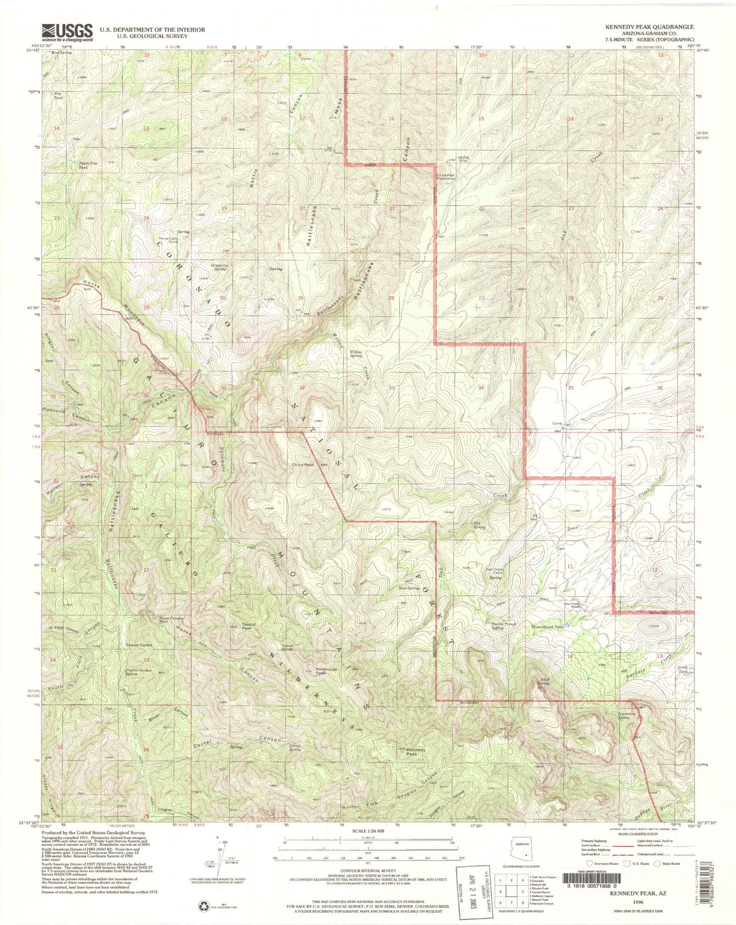
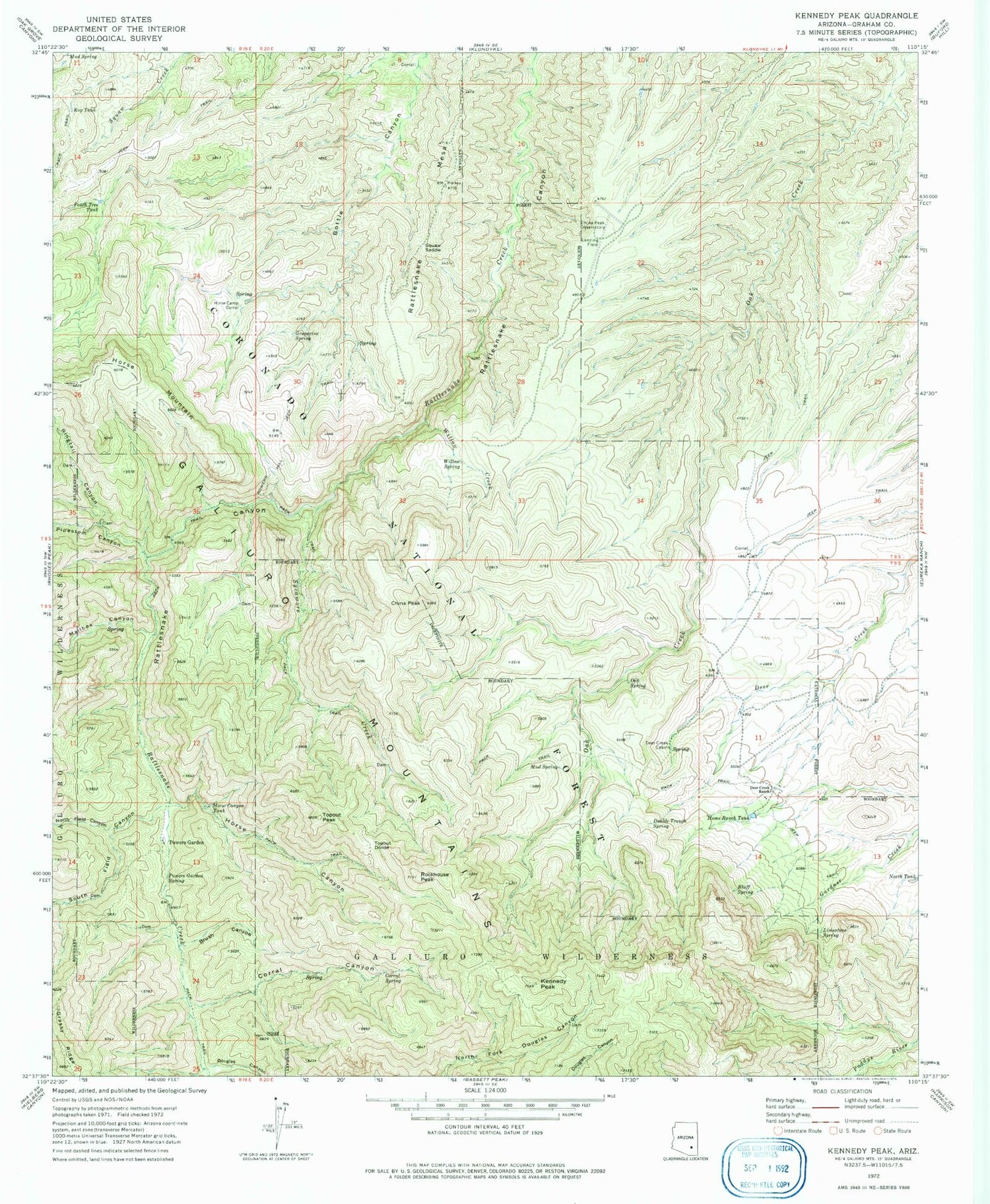
Classic USGS Kennedy Peak Arizona 7.5'x7.5' Topo Map
Couldn't load pickup availability
Historical USGS topographic quad map of Kennedy Peak in the state of Arizona. Typical map scale is 1:24,000, but may vary for certain years, if available. Print size: 24" x 27"
This quadrangle is in the following counties: Graham.
The map contains contour lines, roads, rivers, towns, and lakes. Printed on high-quality waterproof paper with UV fade-resistant inks, and shipped rolled.
Contains the following named places: Bluff Spring, Brush Canyon, China Peak, China Peak Observatory, Corral Canyon, Corral Spring, Deer Creek Cabin, Deer Creek Ranch, Double Trough Spring, Douglas Canyon, Grapevine Spring, Home Ranch Tank, Horse Camp Corral, Horse Canyon, Horse Canyon Tank, Horse Mountain, Kennedy Peak, Limestone Spring, Mailbox Canyon, Mud Spring, Mud Spring, North Field Canyon, North Tank, Peach Tree Tank, Pipestem Canyon, Powers Garden, Powers Garden Spring, Ringtail Canyon, Rockhouse Peak, Roy Tank, South Field Canyon, Squaw Saddle, Sycamore Creek, Topout Divide, Topout Peak, Willow Creek, Willow Spring, Apache Tank, Corral Tank, Horse Canyon Trail Number Two hundred fifty four, Junniper Springs Two hundred ninety five Trail, Lower Ringtail Tank, Lower Sycamore Tank, Paddys River Two hundred ninety three Trail, Powers Garden Ninety Six Trail, Powers Hill, Prude Ranch, Upper Ringtail Tank, Upper Sycamore Tank, Rattlesnake Mesa, China Peak Observatory Airport


