MyTopo
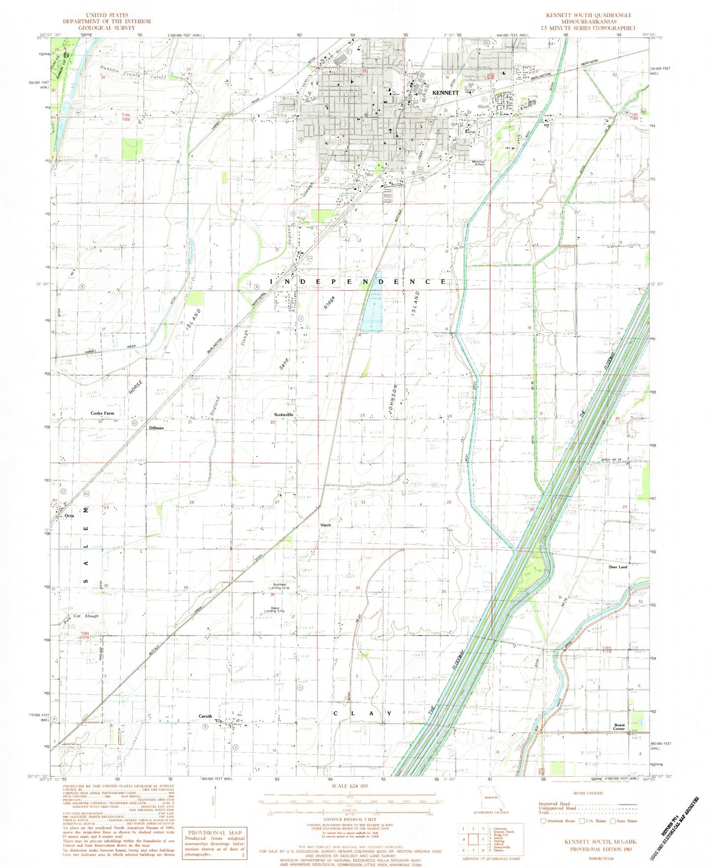
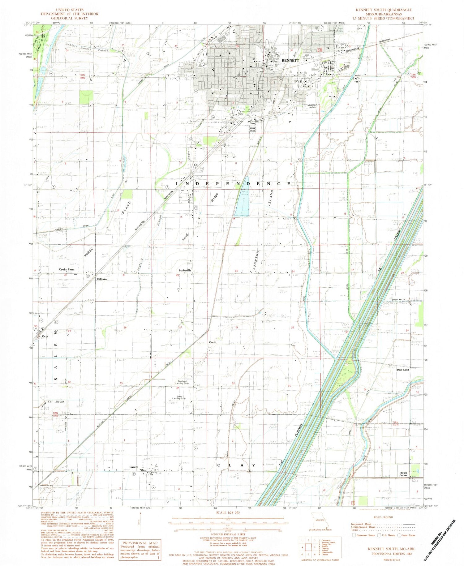
Classic USGS Kennett South Missouri 7.5'x7.5' Topo Map
Couldn't load pickup availability
Historical USGS topographic quad map of Kennett South in the state of Missouri. Map scale may vary for some years, but is generally around 1:24,000. Print size is approximately 24" x 27"
This quadrangle is in the following counties: Clay, Dunklin.
The map contains contour lines, roads, rivers, towns, and lakes. Printed on high-quality waterproof paper with UV fade-resistant inks, and shipped rolled.
Contains the following named places: Baker Landing Strip, Bark Camp Church, Bark Camp School, Bootheel Landing Strip, Bowie Corner, Caruth, City of Kennett, Coker Lodge, Cooks Farm, Deer Land, Dillman, Ditch Number 19, Ditch Number 259, Ditch Number 27, Ditch Number 3, Ditch Number 36, Ditch Number 4, Ditch Number 66, Ditch Number 79, Ditch Number 81, Dunklin County Cut-off, Dunklin County Sheriff's Office, Hawkins Lodge, Hemphill Church, Hemphill School, Hickory Lodge, Horse Island, Johnson Chapel, Johnson Island, Johnson Island Church, Johnson Island School, KBOA-AM (Kennett), Kennett, Kennett Fire Department Station 1, Kennett Fire Department Station 2, Kennett Fire Department Station 3, Kennett Lodge, Kennett Memorial Airport, Kennett Police Department, Kennett Post Office, KTMO-FM (Kennett), Lateral Number 1, Lateral Number 2, Lateral Number 3, Lateral Number 4, Liberty Cemetery, Liberty Church, Main Ditch Number 10, Marsh Cemetery, Oak Ridge Cemetery, Octa, Providence Church, Ragland Ditch, Ragland Slough, Rogers Cemetery, Sand Ridge, Scobeville, Shady Grove Church, Shady Grove School, Snipe Slough, Swan Hole, Tatom Chapel, Tatom Chapel School, Thomas School, Township of Independence, Twin Rivers Regional Medical Center, Twin Rivers Regional Medical Center Heliport, Two Mile Church, Two Mile School, Tywhappity School, Varney River Canal, Vincit, Williams Cemetery, ZIP Code: 63857


