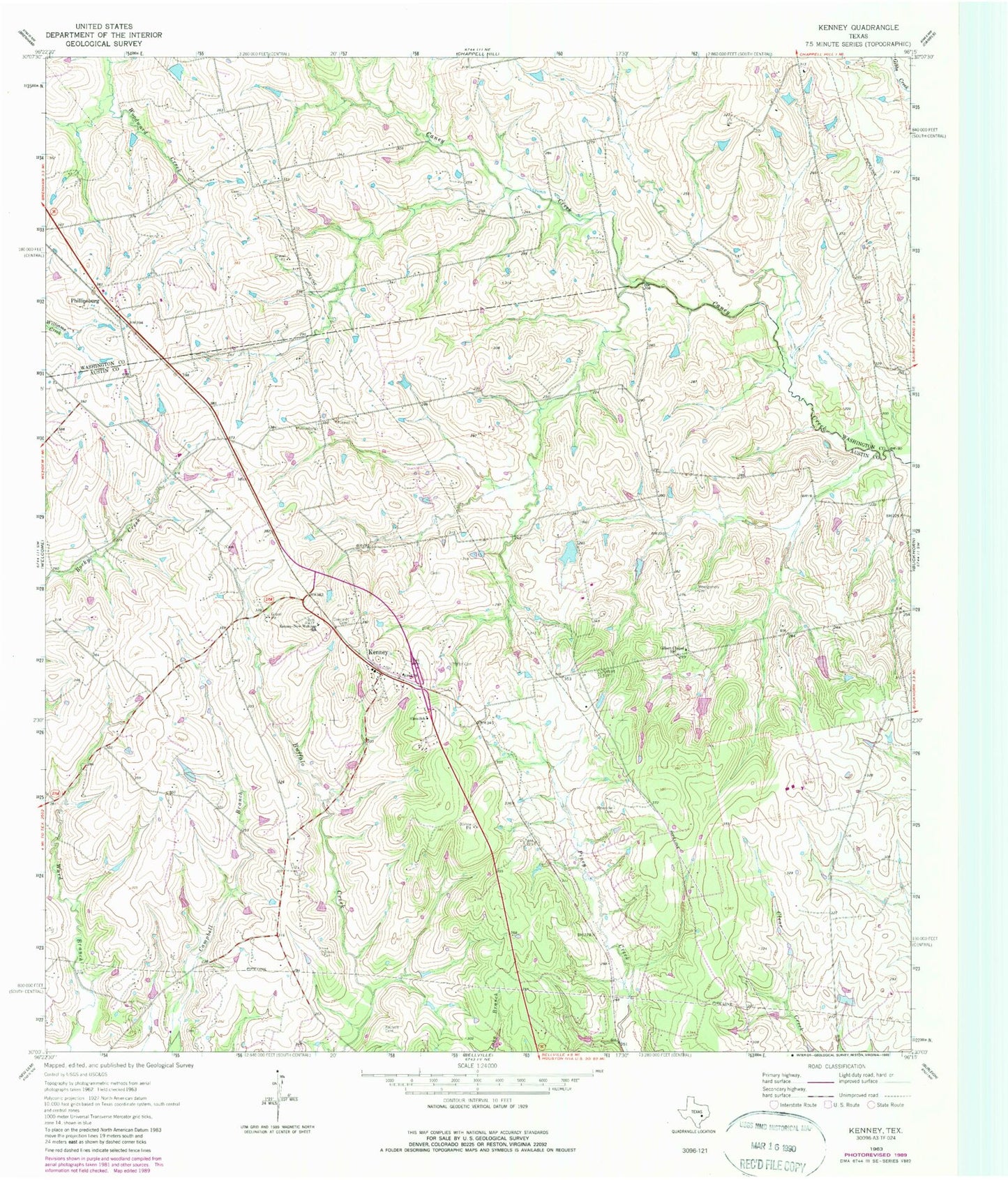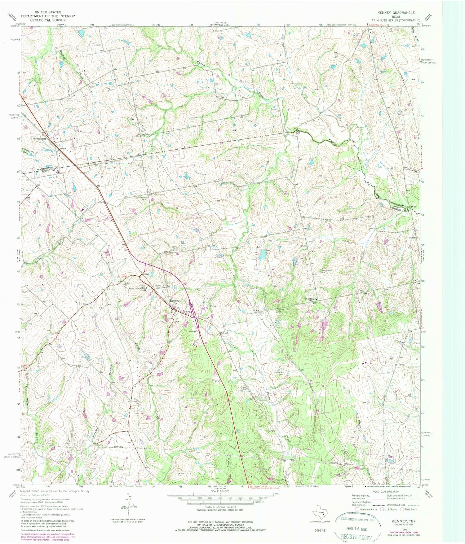
MyTopo
Classic USGS Kenney Texas 7.5'x7.5' Topo Map
Couldn't load pickup availability
Historical USGS topographic quad map of Kenney in the state of Texas. Map scale may vary for some years, but is generally around 1:24,000. Print size is approximately 24" x 27"
This quadrangle is in the following counties: Austin, Washington.
The map contains contour lines, roads, rivers, towns, and lakes. Printed on high-quality waterproof paper with UV fade-resistant inks, and shipped rolled.
Contains the following named places: Concord Cemetery, Cook Lake, Cook Lake Dam, Gilbert Cemetery, Gilbert Chapel, Hinson Airport, Kachele Cemetery, Kenney, Kenney Post Office, Kenney-New-Wehdem School, Meinecke Cemetery, Montgomery Cemetery, New Wehdem, Pfeffer Cemetery, Phillipsburg, Phillipsburg Cemetery, P-K Ranch Airport, Sempronius, Streb Cemetery, Travis Cemetery, ZIP Code: 77426