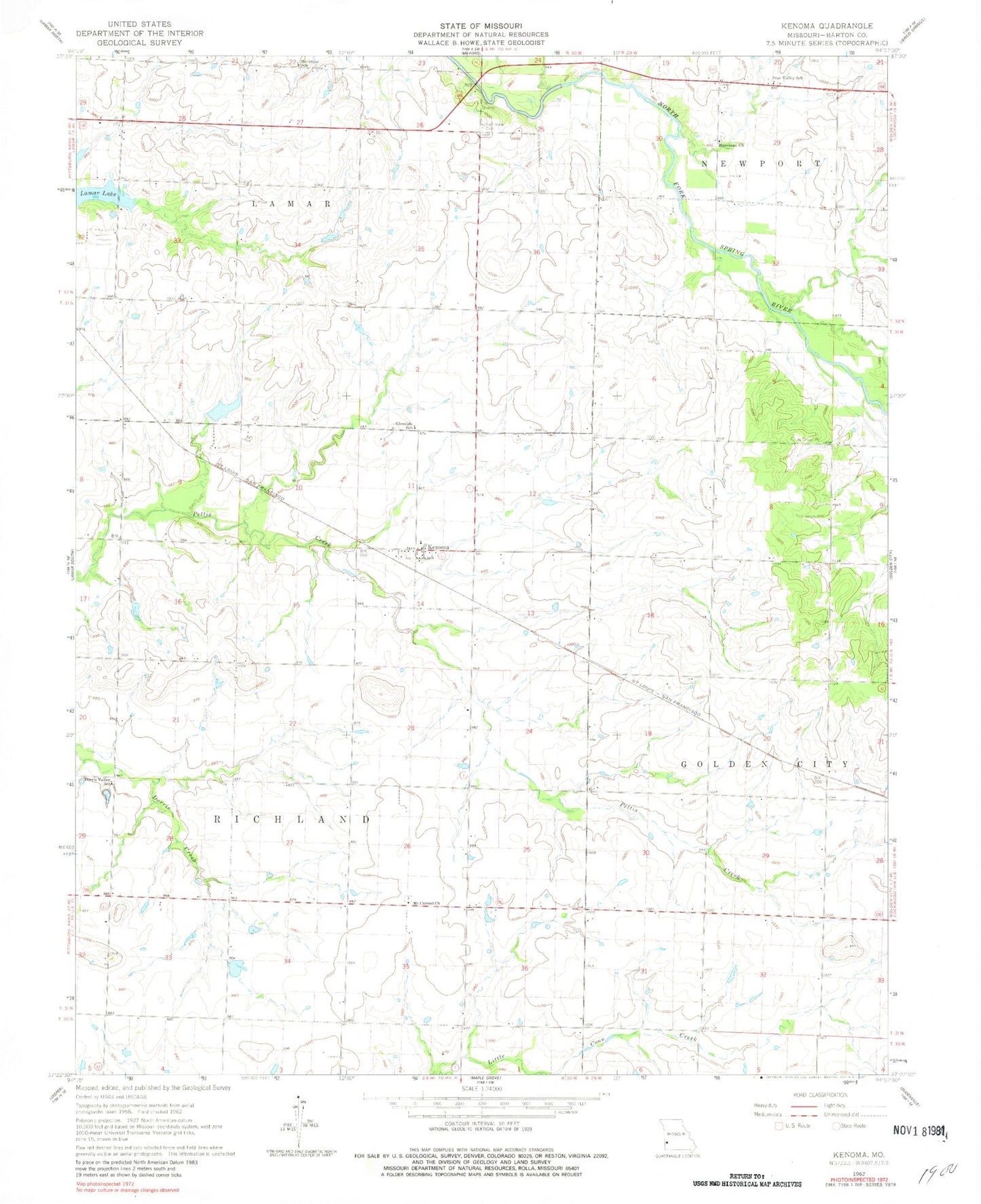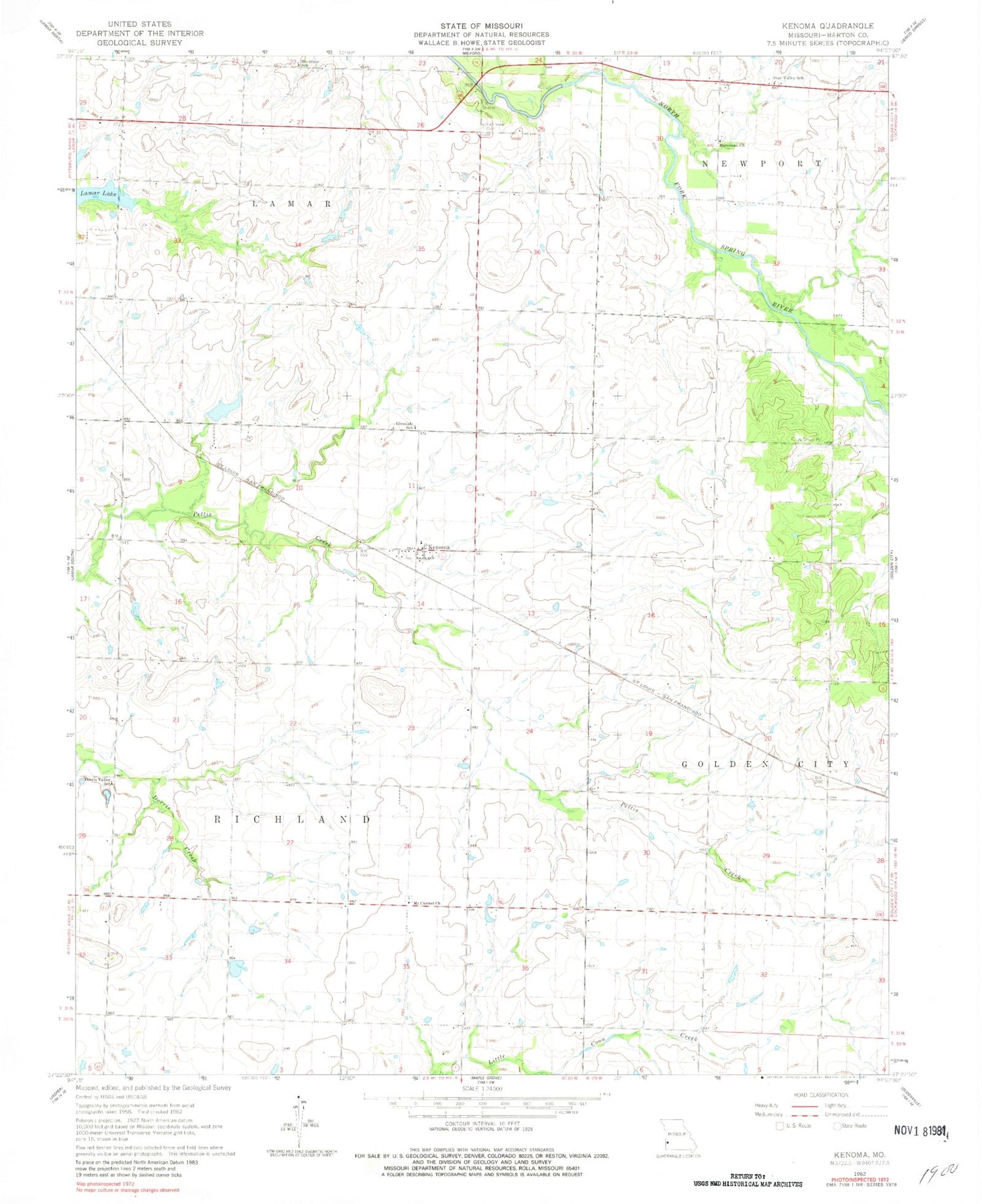
MyTopo
Classic USGS Kenoma Missouri 7.5'x7.5' Topo Map
Couldn't load pickup availability
Historical USGS topographic quad map of Kenoma in the state of Missouri. Map scale may vary for some years, but is generally around 1:24,000. Print size is approximately 24" x 27"
This quadrangle is in the following counties: Barton.
The map contains contour lines, roads, rivers, towns, and lakes. Printed on high-quality waterproof paper with UV fade-resistant inks, and shipped rolled.
Contains the following named places: Bentlages Lake, Bushnell, Dorris Valley School, Fair View Cemetery, Fairview School, Forest Grove School, Glendale School, Golden Grove, Kenoma, Kenoma Census Designated Place, Kenoma School, McGuire Airfield, Montrose School, Morehead Church, Mount Carmel Cemetery, Mount Carmel Church, Mount Carmel School, Number 700 Dam, Number 704 Dam, Old Schreiner Lake, Sagehorn Lake Dam, Sherwood, Star Valley School, Stone School, Township of Golden City, Township of Richland, West Point School