MyTopo
Classic USGS Kensington NE Kansas 7.5'x7.5' Topo Map
Regular price
$16.95
Regular price
Sale price
$16.95
Unit price
per
Couldn't load pickup availability
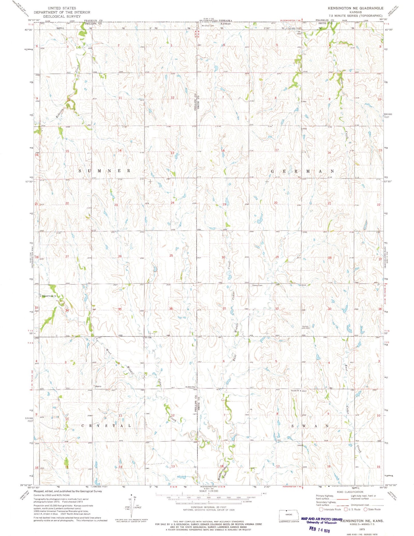
Historical USGS topographic quad map of Kensington NE in the state of Kansas. Map scale may vary for some years, but is generally around 1:24,000. Print size is approximately 24" x 27"
This quadrangle is in the following counties: Phillips, Smith.
The map contains contour lines, roads, rivers, towns, and lakes. Printed on high-quality waterproof paper with UV fade-resistant inks, and shipped rolled.
Contains the following named places: Beulah Church, East Middle Cedar Creek, Fairview Stone Cemetery, New Hope, Ohio, Pleasant Green, Pleasant Green Assembly of God, Saint John Church, Township of German, Township of Sumner, West Middle Cedar Creek