MyTopo
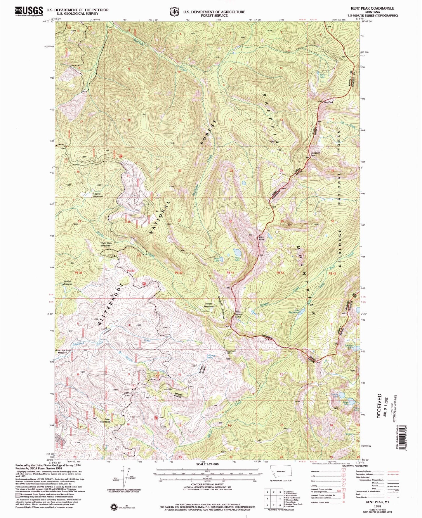
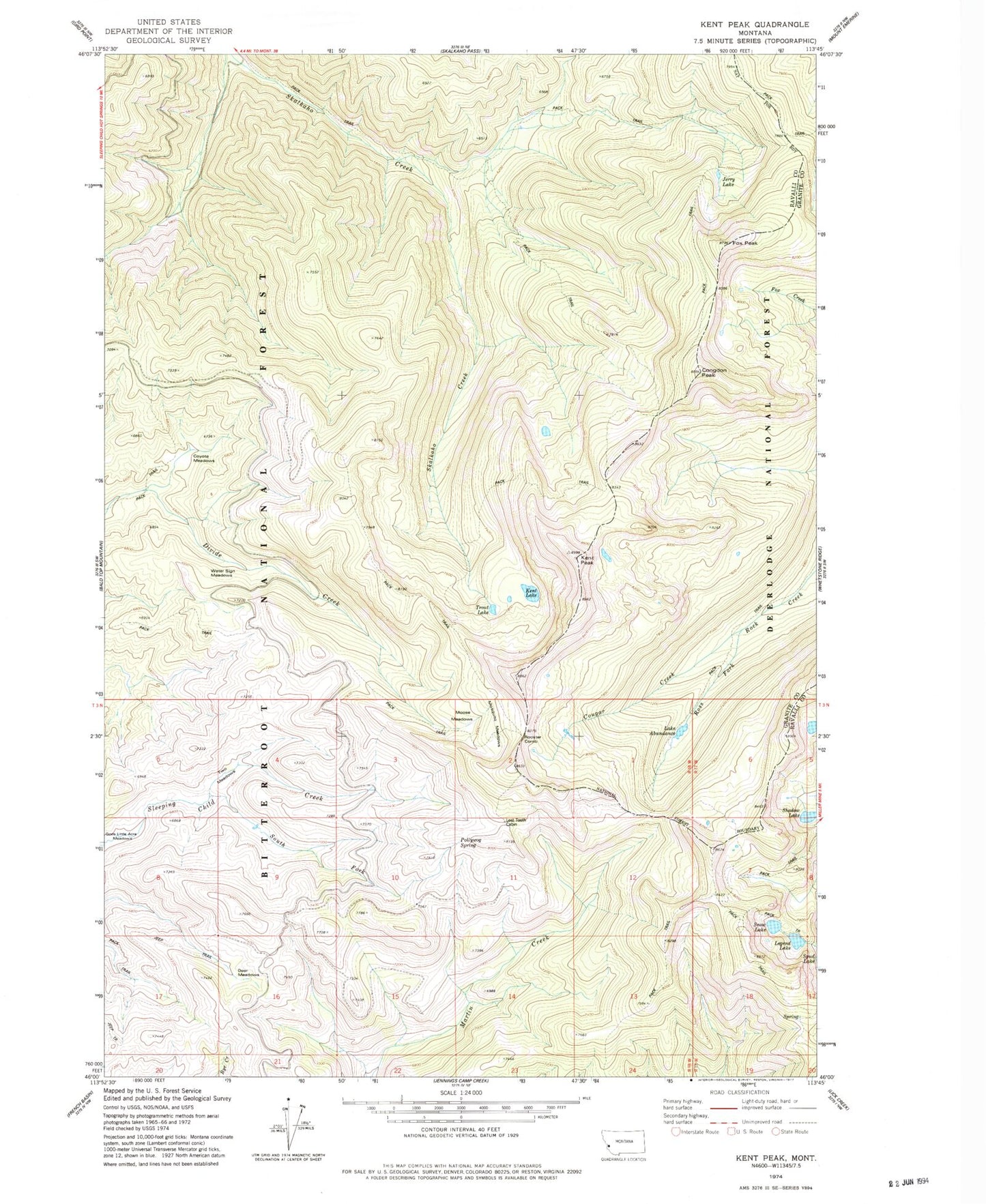
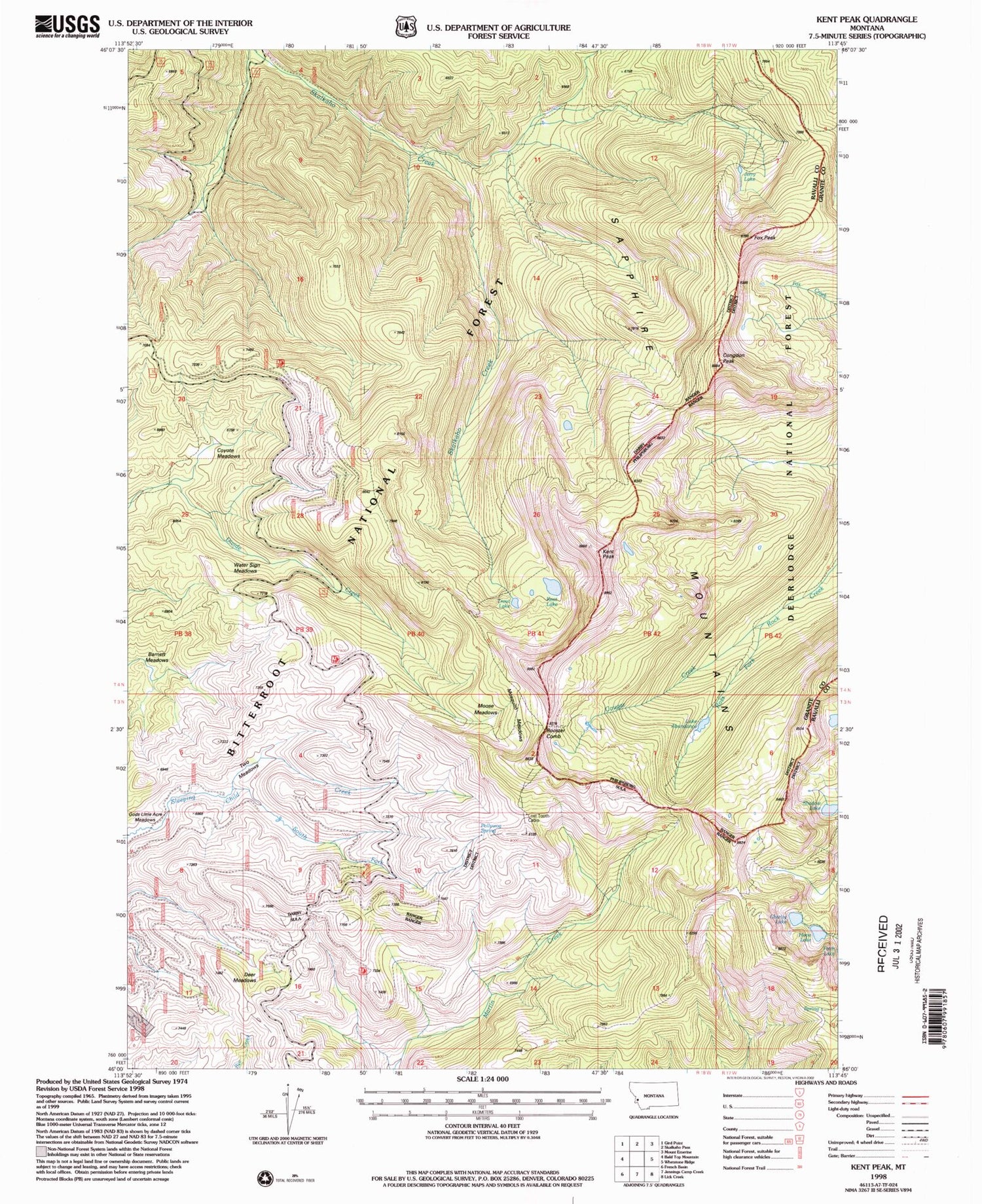
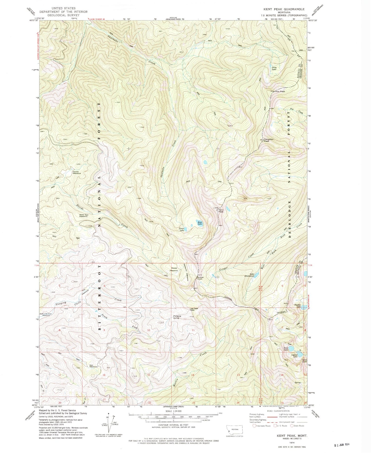
Classic USGS Kent Peak Montana 7.5'x7.5' Topo Map
Couldn't load pickup availability
Historical USGS topographic quad map of Kent Peak in the state of Montana. Typical map scale is 1:24,000, but may vary for certain years, if available. Print size: 24" x 27"
This quadrangle is in the following counties: Granite, Ravalli.
The map contains contour lines, roads, rivers, towns, and lakes. Printed on high-quality waterproof paper with UV fade-resistant inks, and shipped rolled.
Contains the following named places: Lake Abundance, Congdon Peak, Cougar Creek, Coyote Meadows, Deer Meadows, Fox Peak, Gods Little Acre Meadows, Jerry Lake, Kent Lake, Kent Peak, Hope Lake, Lost Tooth Cabin, Moose Meadows, Mosquito Meadows, Pollywog Spring, Rooster Comb, Sapphire Mountains, Shadow Lake, Charity Lake, South Fork Sleeping Child Creek, Trout Lake, Two Meadows, Water Sign Meadows, Barnett Meadows


