MyTopo
Classic USGS Kent Iowa 7.5'x7.5' Topo Map
Couldn't load pickup availability
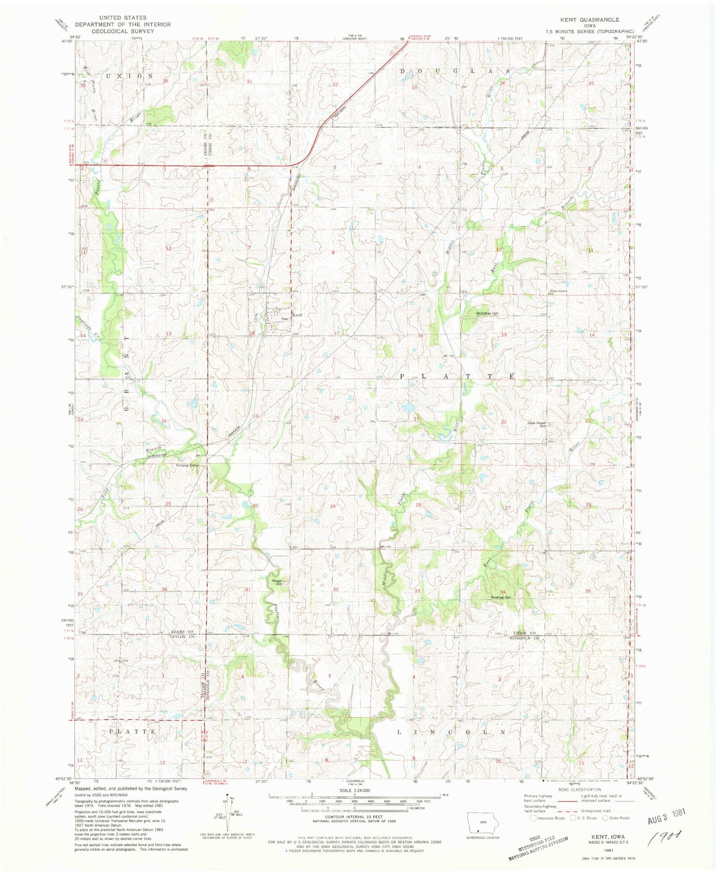
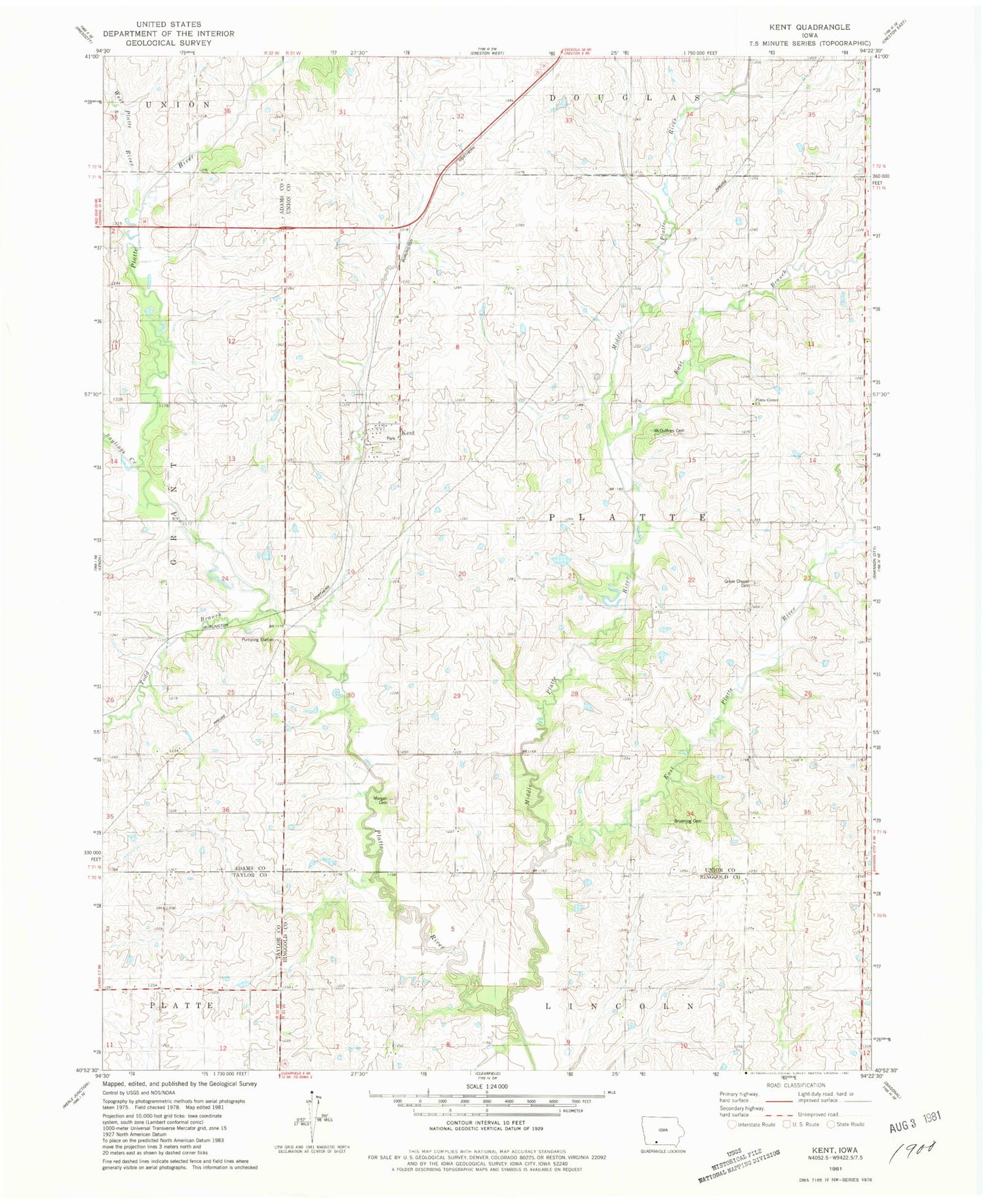
Historical USGS topographic quad map of Kent in the state of Iowa. Map scale may vary for some years, but is generally around 1:24,000. Print size is approximately 24" x 27"
This quadrangle is in the following counties: Adams, Ringgold, Taylor, Union.
The map contains contour lines, roads, rivers, towns, and lakes. Printed on high-quality waterproof paper with UV fade-resistant inks, and shipped rolled.
Contains the following named places: Bruning Cemetery, Coelo Post Office, East Branch Middle Platte River, East Platte River, Grove Chapel Cemetery, Kent, Kent Census Designated Place, Kent Post Office, McDuffie Cemetery, Middle Platte River, Morgan Cemetery, Platte Center Church, Polen, Polen Post Office, Saylings Creek, Todd Branch, Township of Platte, Union City Post Office, West Platte River