MyTopo
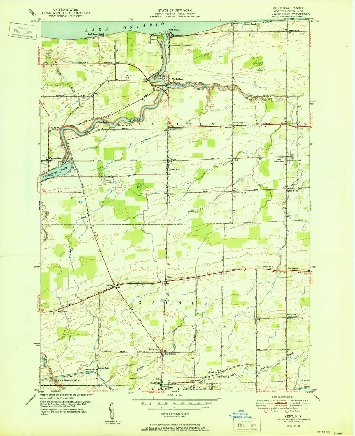
Classic USGS Kent New York 7.5'x7.5' Topo Map
Couldn't load pickup availability
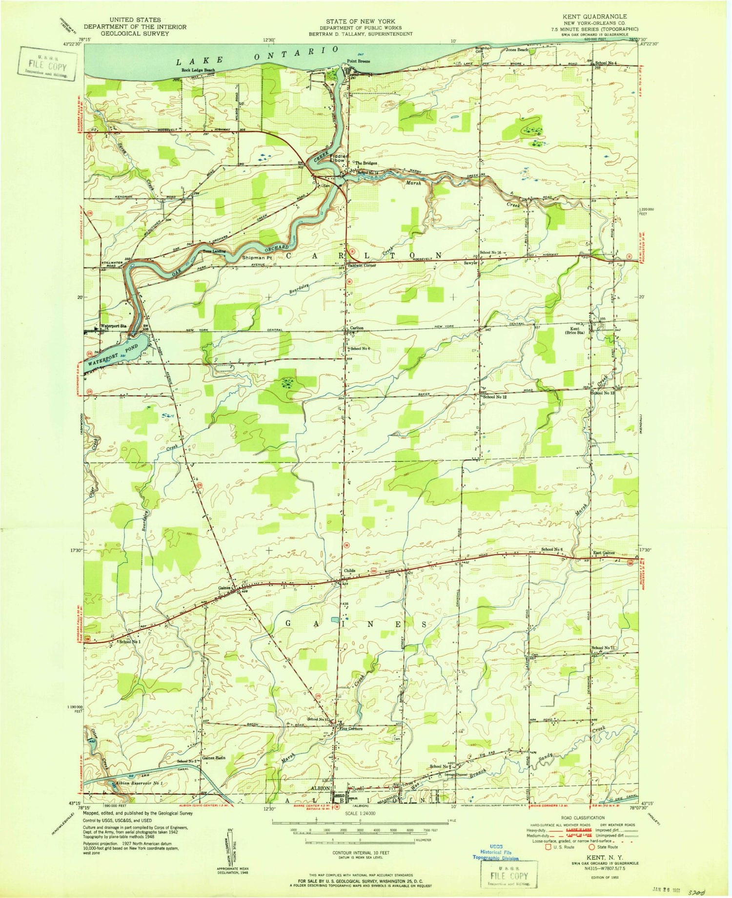
Historical USGS topographic quad map of Kent in the state of New York. Map scale may vary for some years, but is generally around 1:24,000. Print size is approximately 24" x 27"
This quadrangle is in the following counties: Orleans.
The map contains contour lines, roads, rivers, towns, and lakes. Printed on high-quality waterproof paper with UV fade-resistant inks, and shipped rolled.
Contains the following named places: Albion Reservoir Number One, Albion Water Treatment Plant, Baldwin Corner, Beardsley Creek, Brighton Cliff, Brown Cemetery, Carlton, Carlton Gaines Community Church, Childs, Davy Farms, Dawn Patrol Aviation, East Gaines, Embten Acres, Excelsior Farms, Faith Alliance Church, Fiddlers Elbow, Five Corners, Four C's Marina, Gaines, Gaines Basin, Gaines Basin Road Bridge, Gaines Cemetery, Gaines Congregational Church, Gaines Valley Aviation, Gilbert Creek, Harbor Breeze Marina, Harbour Pointe Country Club, Heritage Estates, Intergrow Greenhouses, Jones Beach, Kast Farms, Kelsey Farms, Kent, Kent Cemetery, Kent Post Office, Lakeside Beach State Park, Little Lake Farm, Marsh Creek, Oak Orchard, Oak Orchard Creek, Oak Orchard Creek Bridge, Oak Orchard Estates, Oak Orchard Marina, Oak Orchard Yacht Club, Orchard Dale Fruit Farms, Point Breeze, Point Breeze Yacht Club, Red Breeze Campsite, Ricci Meadows Golf Course, Richard Taylor Orchards, Riverview Campground, Rock Ledge Beach, Sawyer, School Number 1, School Number 11, School Number 12, School Number 13, School Number 14, School Number 16, School Number 2, School Number 4, School Number 5, School Number 6, School Number 8, Shady Maple Farm, Shiloh Baptist Church, Shipman Point, Standish Cemetery, The Bridges, Toms Landing, Town of Carlton, Town of Gaines, Union Cemetery, Waterport Station, Watt Farms, ZIP Code: 14477


