MyTopo
Classic USGS Kent Texas 7.5'x7.5' Topo Map
Regular price
$16.95
Regular price
Sale price
$16.95
Unit price
per
Couldn't load pickup availability
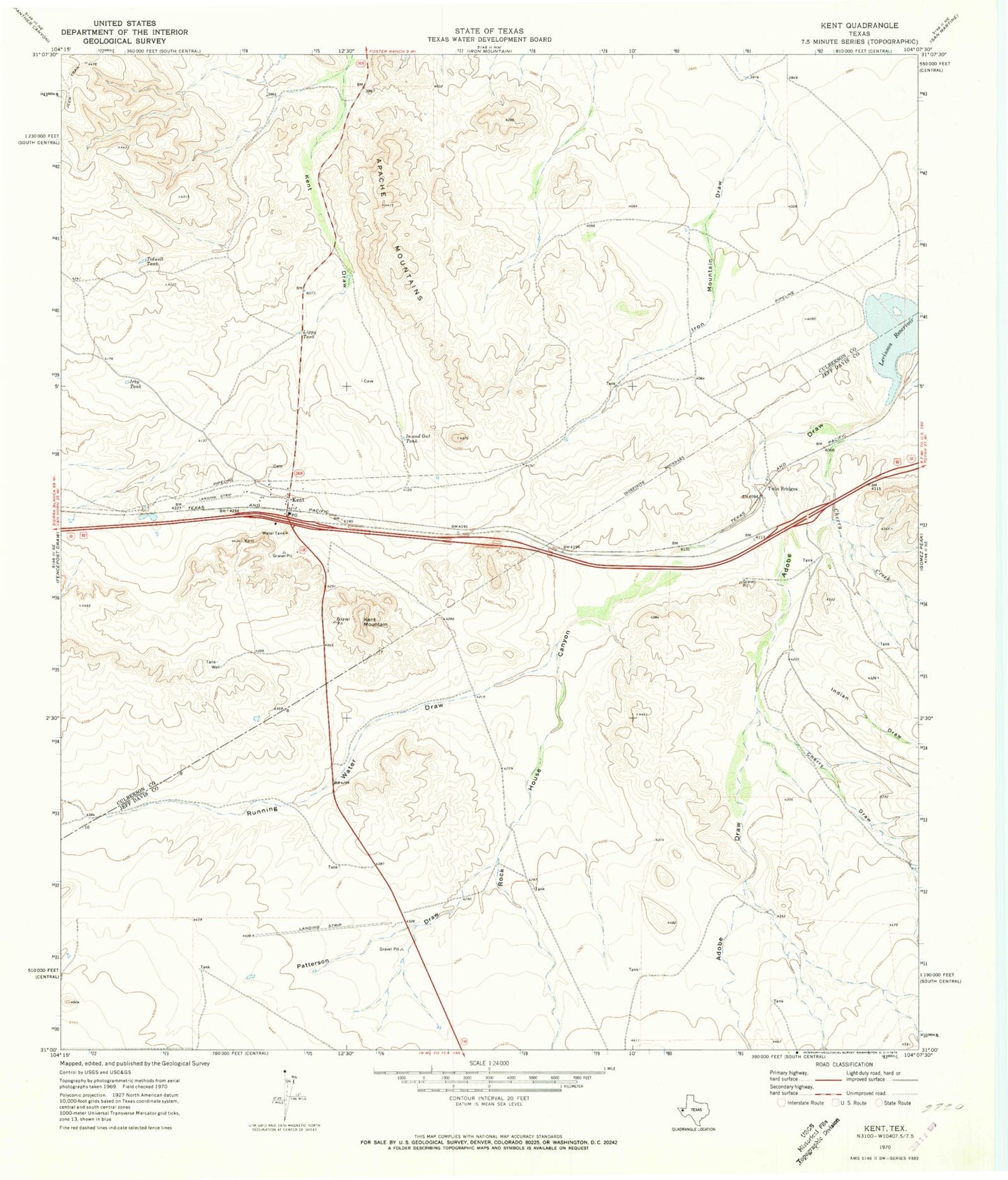
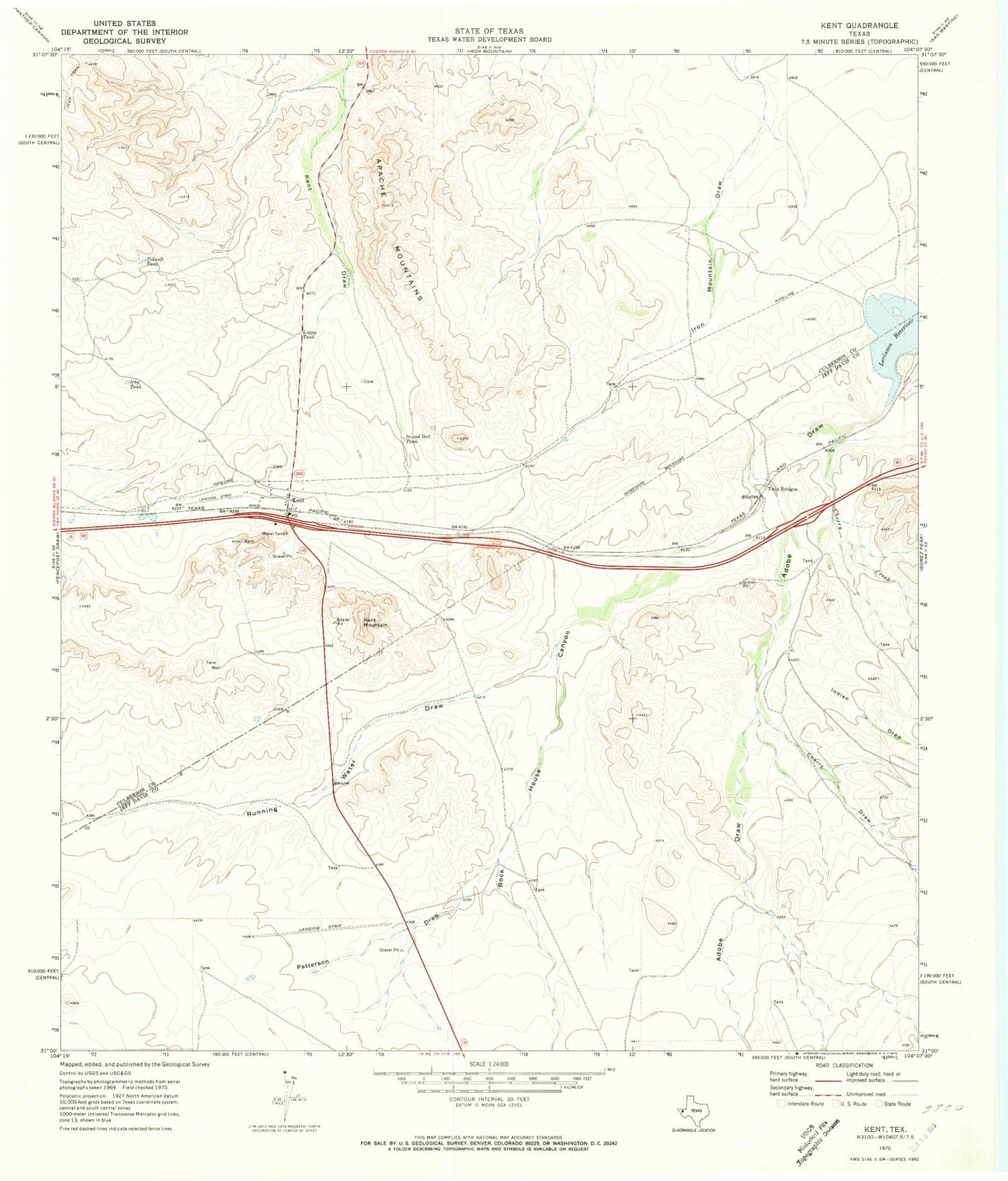
Historical USGS topographic quad map of Kent in the state of Texas. Map scale may vary for some years, but is generally around 1:24,000. Print size is approximately 24" x 27"
This quadrangle is in the following counties: Culberson, Jeff Davis.
The map contains contour lines, roads, rivers, towns, and lakes. Printed on high-quality waterproof paper with UV fade-resistant inks, and shipped rolled.
Contains the following named places: Cherry Creek, Cherry Draw, In and Out Tank, Indian Draw, Irby Tank, Kent, Kent Cemetery, Kent Mountain, Kent Post Office, Levinson Reservoir, Lippy Tank, Patterson Draw, Rancho Del Cielo Airport, Rock House Canyon, Running Water Draw, Tidwell Tank, Twin Bridges