MyTopo
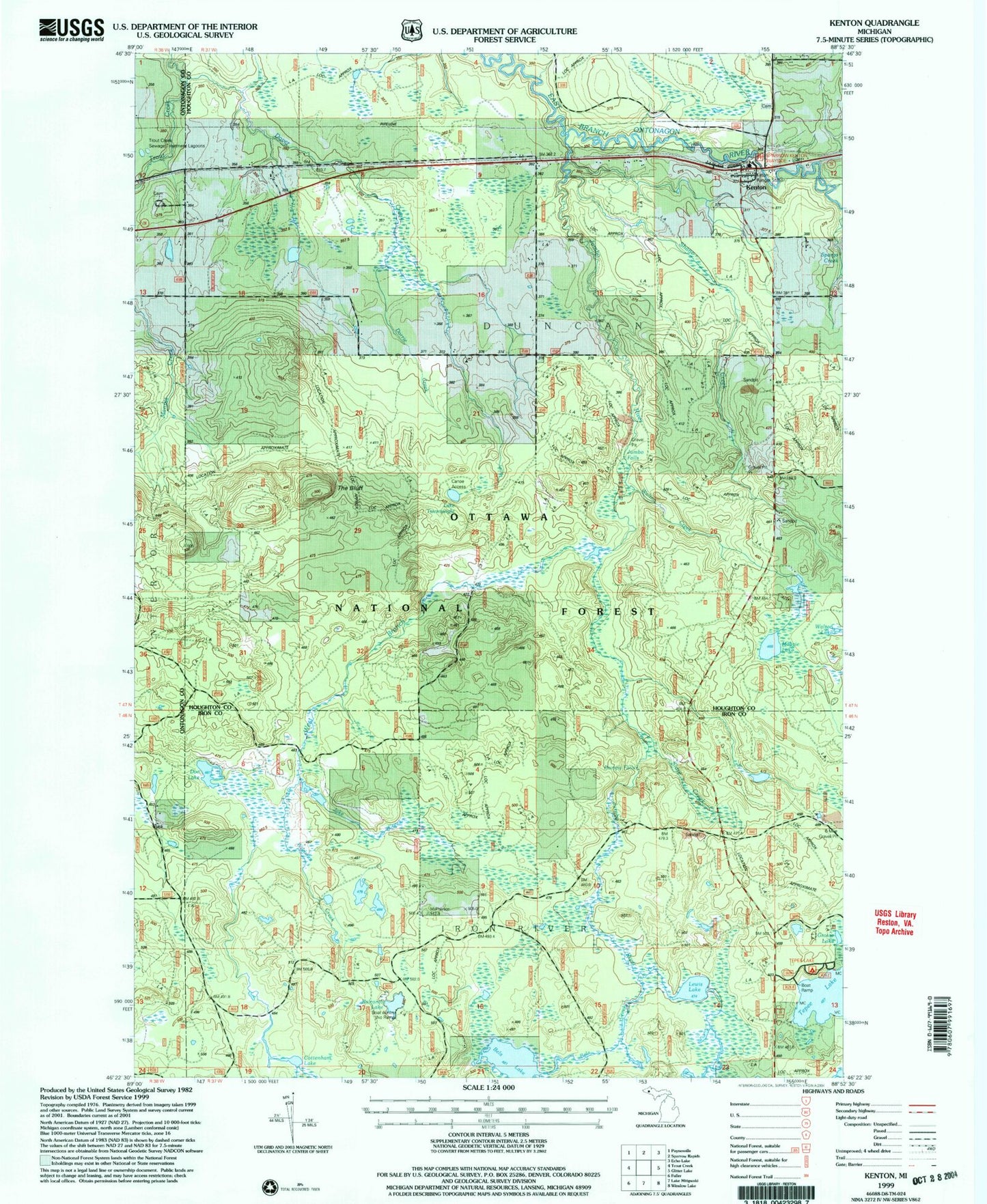
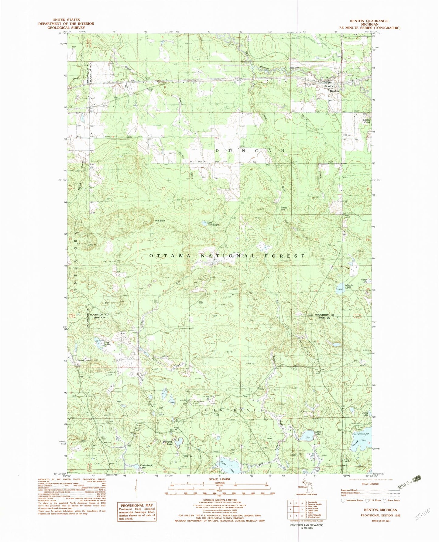
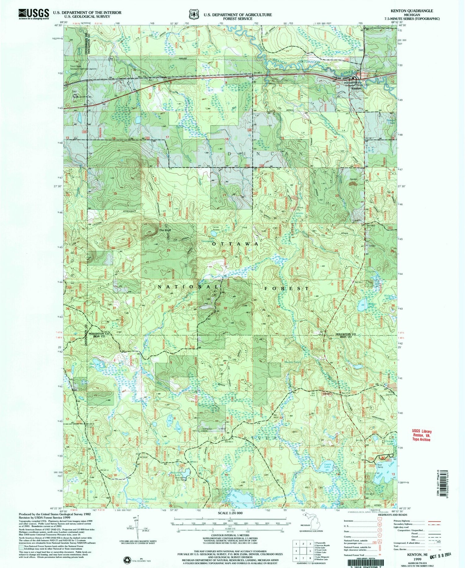
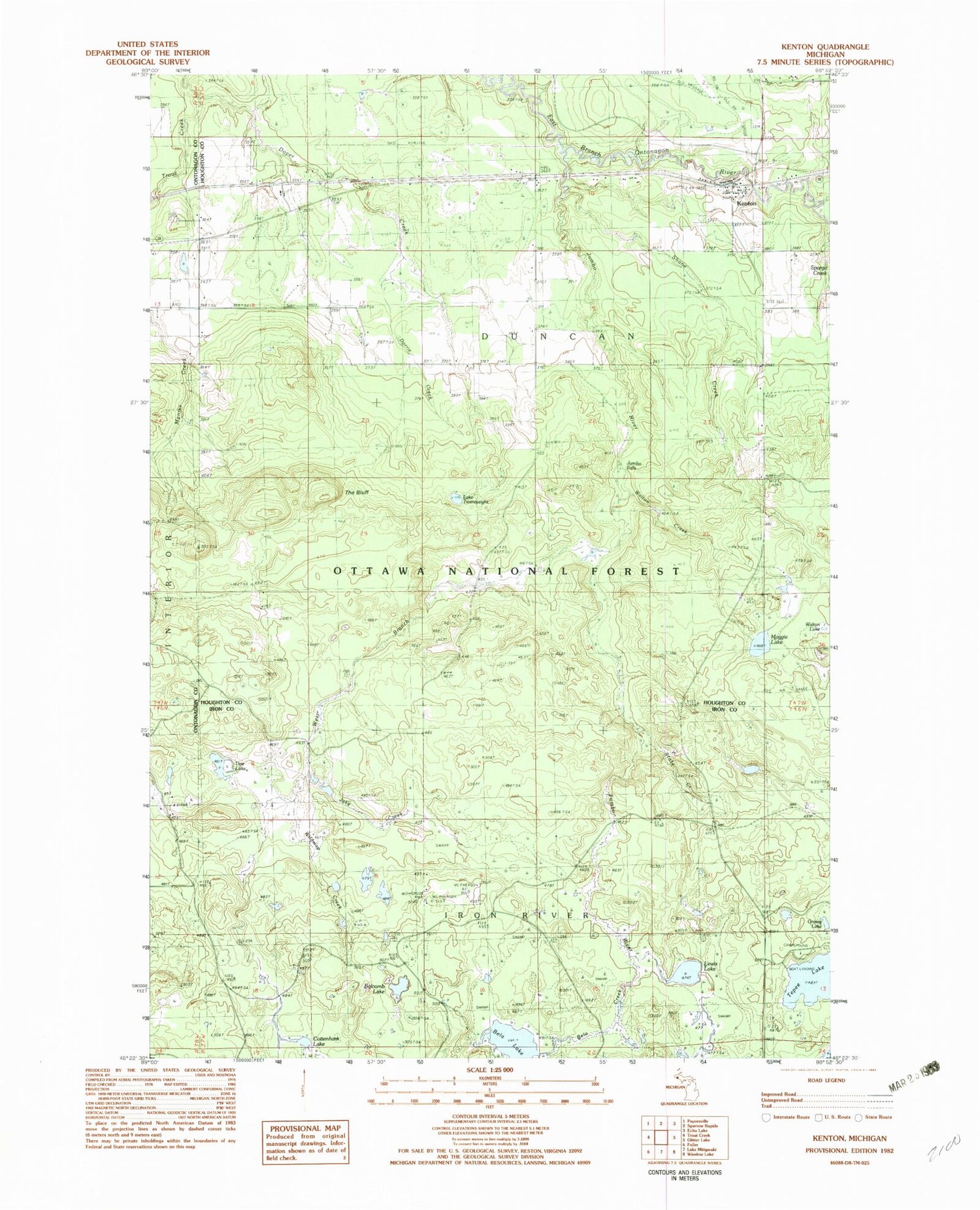
Classic USGS Kenton Michigan 7.5'x7.5' Topo Map
Couldn't load pickup availability
Historical USGS topographic quad map of Kenton in the state of Michigan. Map scale may vary for some years, but is generally around 1:24,000. Print size is approximately 24" x 27"
This quadrangle is in the following counties: Houghton, Iron, Ontonagon.
The map contains contour lines, roads, rivers, towns, and lakes. Printed on high-quality waterproof paper with UV fade-resistant inks, and shipped rolled.
Contains the following named places: Balcomb Lake, Bela Creek, Bela Lake, Cottenham Lake, Doe Lake, Dorrie Creek, Dover Creek, Dumpy Falls, Duncan Township Fire Department Station 2, Grosse Lake, Jake Creek, Jumbo Falls, Jumbo River, Kenton, Kenton Cemetery, Kenton District Ranger Office, Kenton Post Office, Kenton Station, Lake Twentyeight, Lewis Lake, Maggie Lake, Middle East Jumbo River Falls, Shane Creek, Slate Creek, Sparrow-Kenton Wayside Picnic Area, State Creek, Tepee Lake, Tepee Lake Campground and Picnic Area, The Bluff, Trout Creek Cemetery, Trout Creek Lookout Tower, Upper East Tumbo River Falls, Walton Creek, Walton Lake, West Branch Jumbo River, Wildman Creek