MyTopo
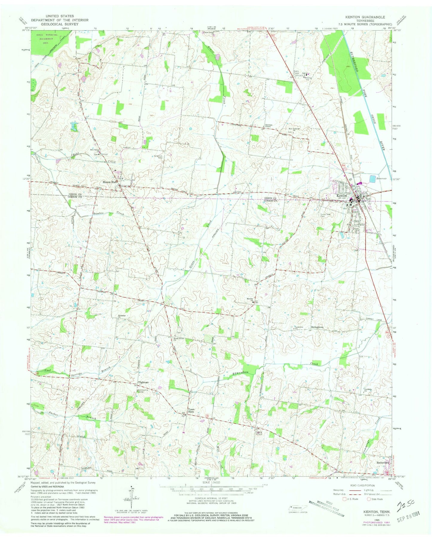
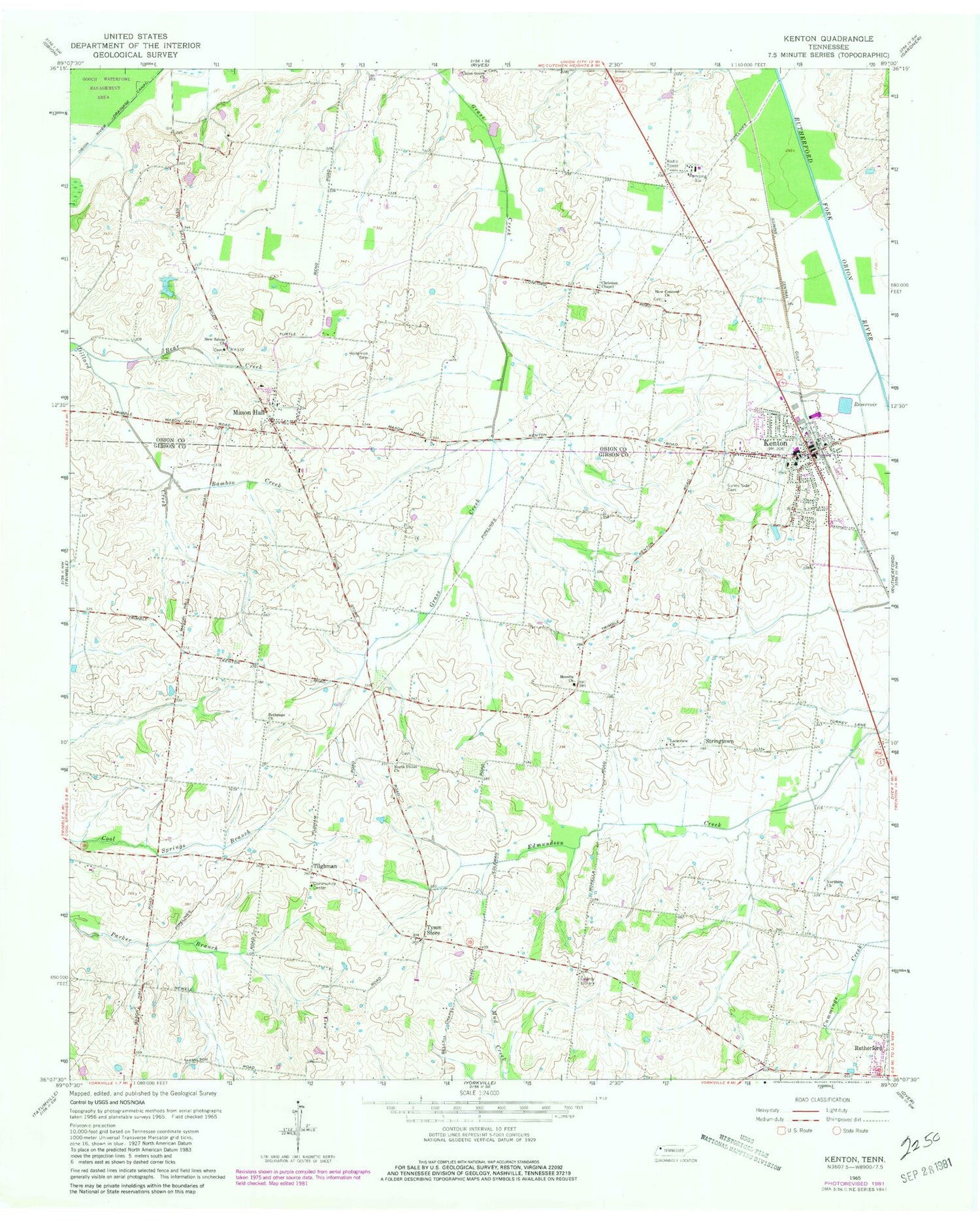
Classic USGS Kenton Tennessee 7.5'x7.5' Topo Map
Couldn't load pickup availability
Historical USGS topographic quad map of Kenton in the state of Tennessee. Map scale may vary for some years, but is generally around 1:24,000. Print size is approximately 24" x 27"
This quadrangle is in the following counties: Gibson, Obion.
The map contains contour lines, roads, rivers, towns, and lakes. Printed on high-quality waterproof paper with UV fade-resistant inks, and shipped rolled.
Contains the following named places: Bamboo Creek, Bear Creek, Bethpage Cemetery, Bethpage Church, Boyett School, Christian Chapel, District 10, District 24, District 9, Fairview, Fairview School, First Baptist Church of Kenton, Gibson County Fire and Rescue Tyson Community, Hollomon Cemetery, Kenton, Kenton City Hall, Kenton City Park, Kenton Elementary School, Kenton Fire Department, Kenton High School, Kenton Police Department, Kenton Post Office, Kenton-Mason Hall Division, Laneview Church, Mason Hall, Mason Hall School, Morella Church, Morella School, New Concord Church, New Salem Church, North Union Cemetery, North Union Church, Northern Church, Possum Pond, Rutherford Division, Salem Cemetery, Stringtown, Sunny Side Cemetery, Tilghman, Tilghmans School, Town of Kenton, Tyson Store, Tysonville, Union Grove Cemetery, Union Grove Church, ZIP Code: 38233