MyTopo
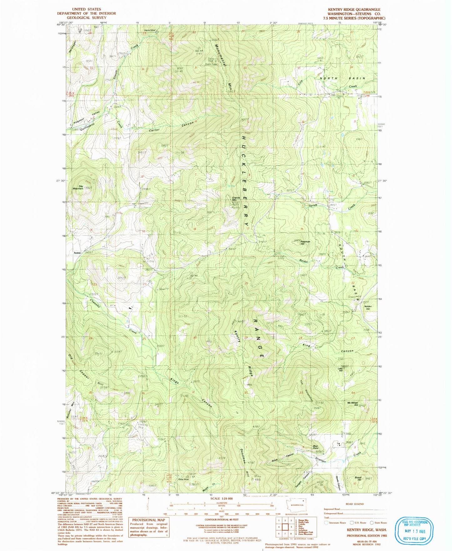
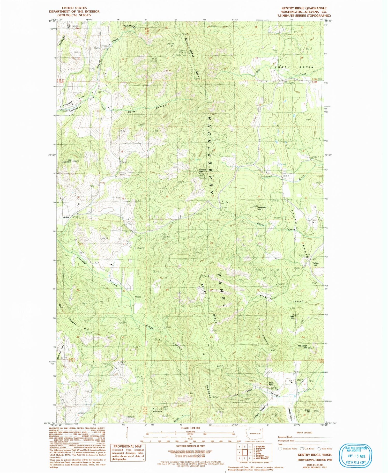
Classic USGS Kentry Ridge Washington 7.5'x7.5' Topo Map
Couldn't load pickup availability
Historical USGS topographic quad map of Kentry Ridge in the state of Washington. Map scale may vary for some years, but is generally around 1:24,000. Print size is approximately 24" x 27"
This quadrangle is in the following counties: Stevens.
The map contains contour lines, roads, rivers, towns, and lakes. Printed on high-quality waterproof paper with UV fade-resistant inks, and shipped rolled.
Contains the following named places: Aquila Mine, Arzina, Blue Point, Brazel Hill, Butcher Mountain, Carter Canyon, Daisy Mine, Day Mountain, Deadman Hill, Erickson Ranch Airport, Eslick Canyon, Freeman Hill, Granite Mountain, Hawks Canyon, Holden Hill, Huckleberry Range, Kentry Ridge, King Canyon, Kings Canyon, Lake Hill, McMillan Hill, Monumental Mountain, Pleasant Valley School, Sawyer Creek, South Basin, The Horseshoe, Twilight Canyon, ZIP Code: 99167