MyTopo
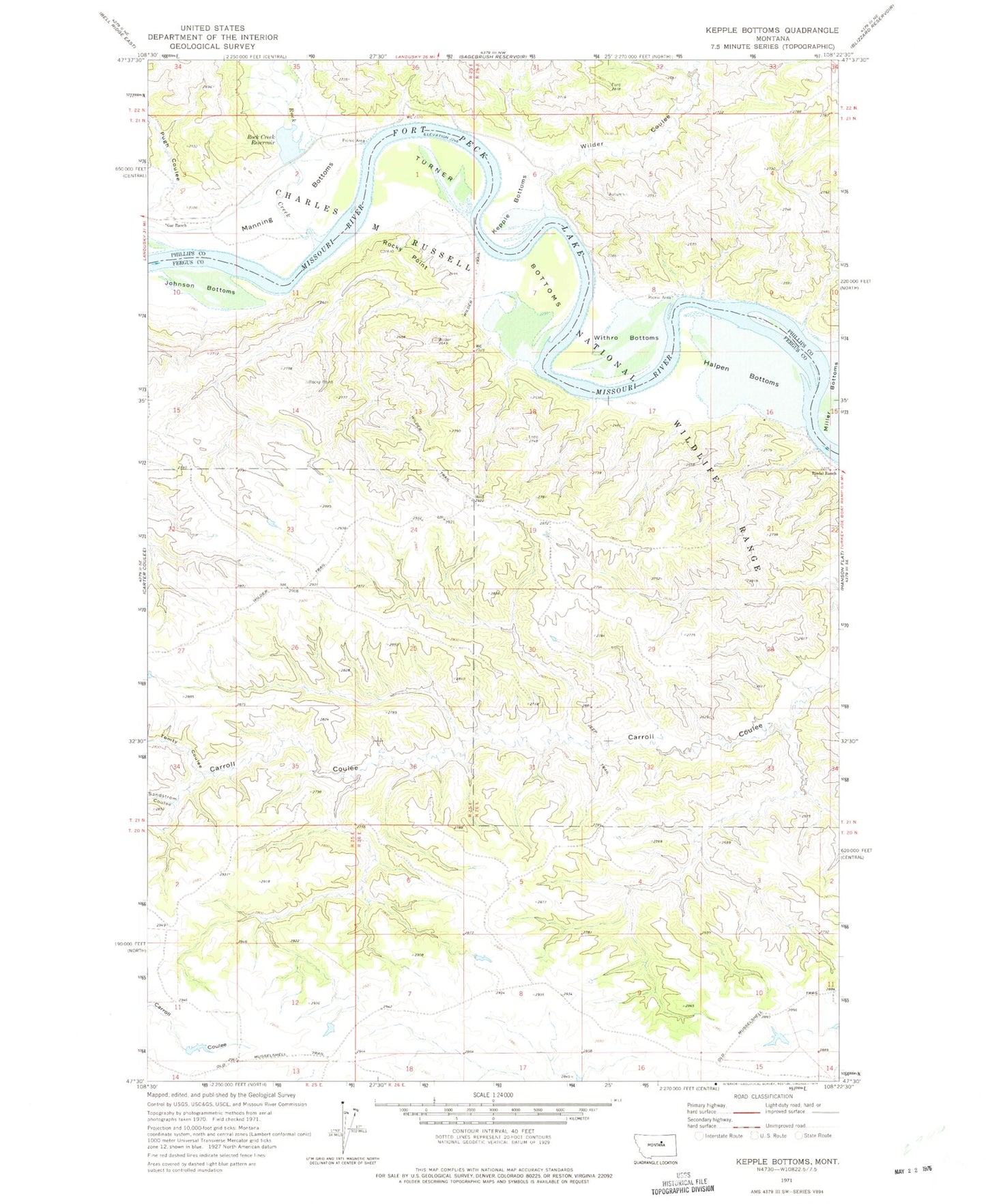
Classic USGS Kepple Bottoms Montana 7.5'x7.5' Topo Map
Couldn't load pickup availability
Historical USGS topographic quad map of Kepple Bottoms in the state of Montana. Map scale may vary for some years, but is generally around 1:24,000. Print size is approximately 24" x 27"
This quadrangle is in the following counties: Fergus, Phillips.
The map contains contour lines, roads, rivers, towns, and lakes. Printed on high-quality waterproof paper with UV fade-resistant inks, and shipped rolled.
Contains the following named places: 21N25E03CA__01 Well, Broadwater Landing, Cantonment Rocky Point, Gar Ranch, Halpen Bottoms, Johnson Bottoms, Kepple Bottoms, Manning Bottoms, Miller Bottoms, Old Musselshell Trail, Prairie DOG Dam, Pugh Coulee, Rindal Ranch, Rock Creek, Rock Creek Reservoir, Rock Creek School, Rocky Point, Sandstrom Coulee, Tomty Coulee, Turner Bottoms, Wilder, Wilder Coulee, Wilder Post Office, Wilder Trail, Withro Bottoms