MyTopo
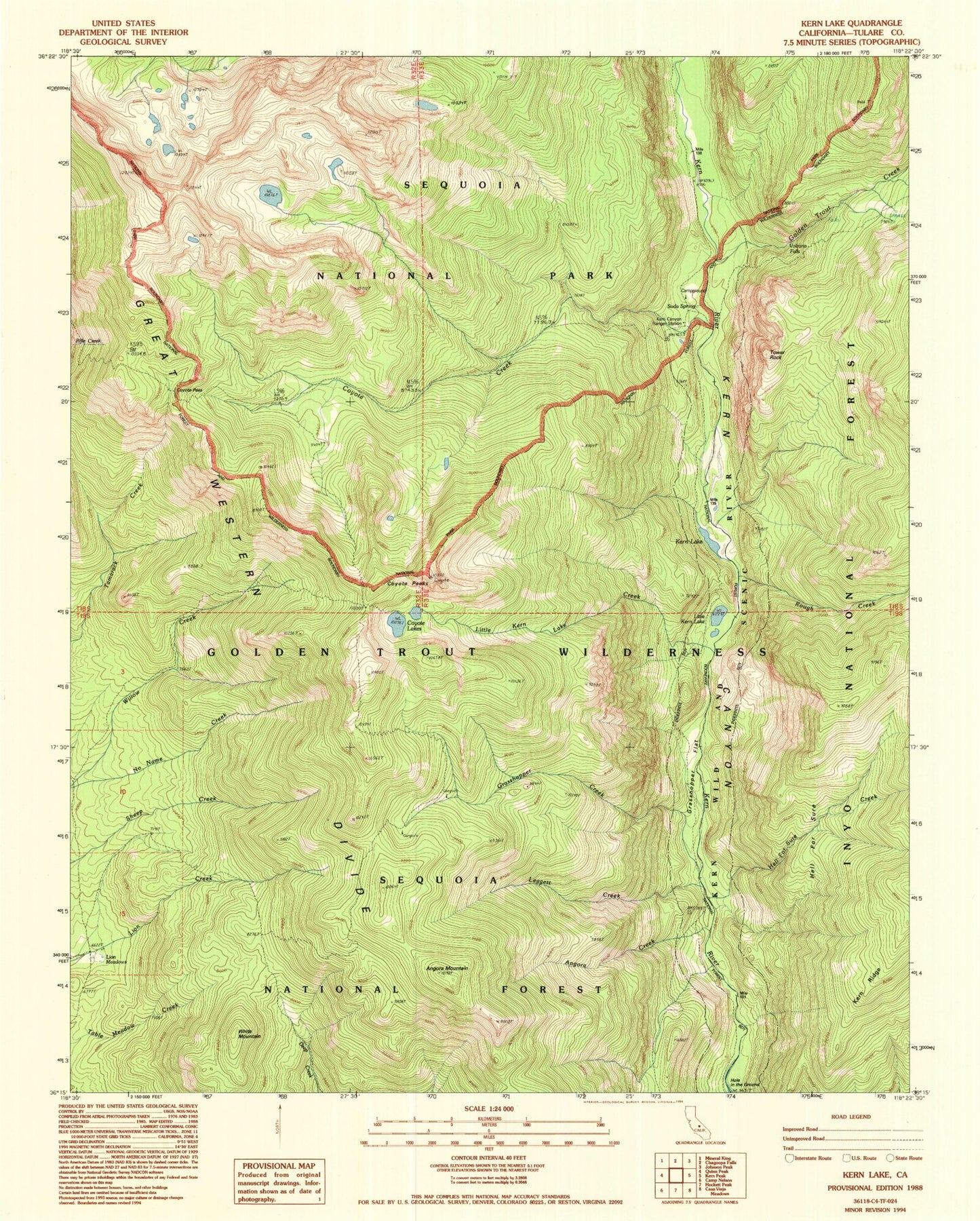
Classic USGS Kern Lake California 7.5'x7.5' Topo Map
Couldn't load pickup availability
Historical USGS topographic quad map of Kern Lake in the state of California. Typical map scale is 1:24,000, but may vary for certain years, if available. Print size: 24" x 27"
This quadrangle is in the following counties: Tulare.
The map contains contour lines, roads, rivers, towns, and lakes. Printed on high-quality waterproof paper with UV fade-resistant inks, and shipped rolled.
Contains the following named places: Kern Canyon Ranger Station, Angora Creek, Angora Mountain, Coyote Creek, Coyote Lakes, Coyote Pass, Coyote Peaks, Golden Trout Creek, Grasshopper Creek, Grasshopper Flat, Hell for Sure, Kern Lake, Leggett Creek, Lion Meadows, Little Kern Lake, Little Kern Lake Creek, Soda Spring, Tower Rock, Volcano Falls, Malpais Creek, Rough Creek, BIg Kern Lake Creek, White Mountain, Hell for Sure Creek, Hansen Dam Park