MyTopo
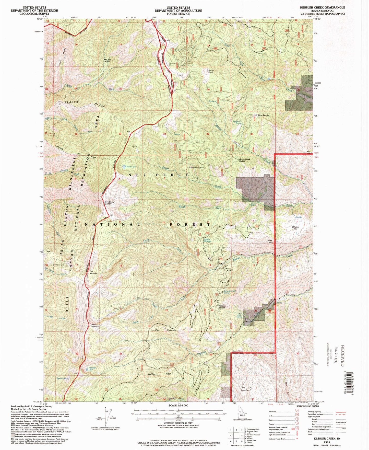
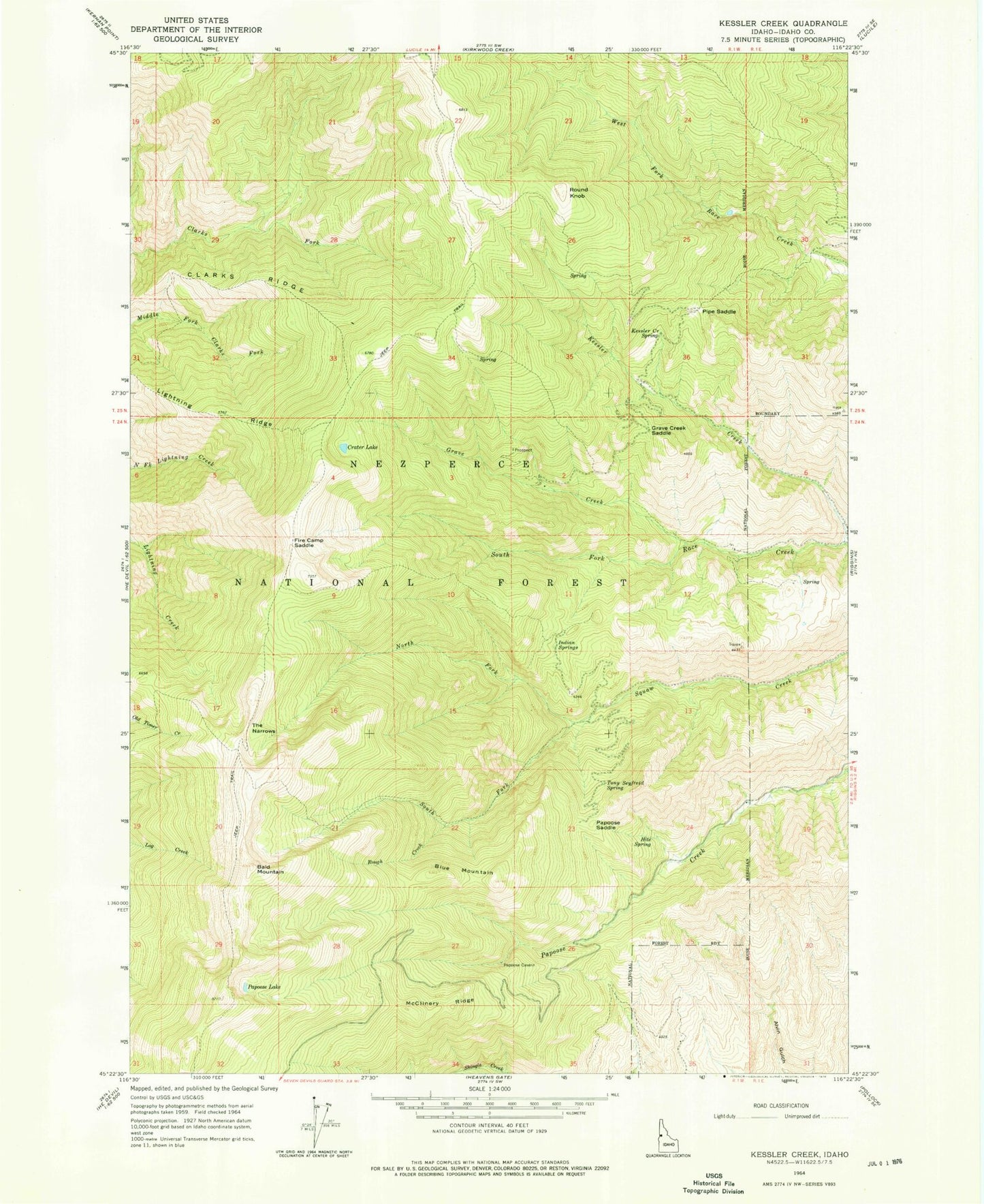
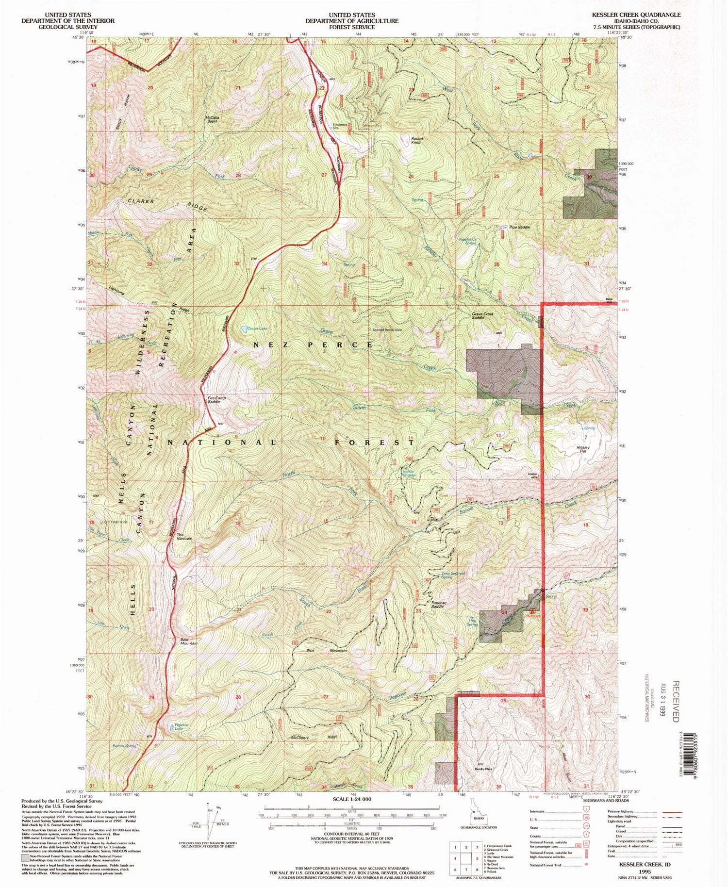
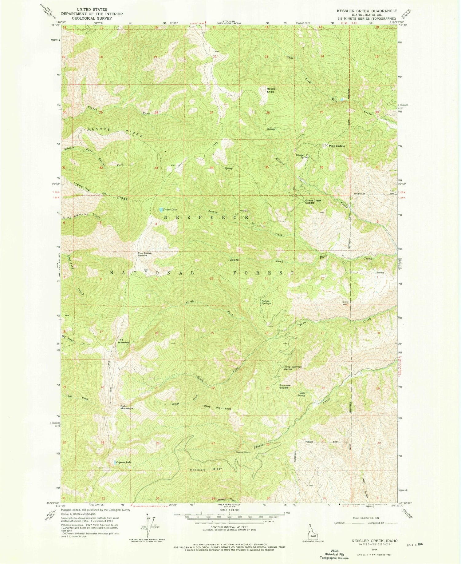
Classic USGS Kessler Creek Idaho 7.5'x7.5' Topo Map
Couldn't load pickup availability
Historical USGS topographic quad map of Kessler Creek in the state of Idaho. Map scale may vary for some years, but is generally around 1:24,000. Print size is approximately 24" x 27"
This quadrangle is in the following counties: Idaho.
The map contains contour lines, roads, rivers, towns, and lakes. Printed on high-quality waterproof paper with UV fade-resistant inks, and shipped rolled.
Contains the following named places: Bald Mountain, Barton Spring, Bicardi Place, Blue Mountain, Boodry Place, Clarks Ridge, Crater Lake, Fire Camp Saddle, Grave Creek, Grave Creek Saddle, Hiltsley Flat, Hite Spring, Indian Springs, Kessler Creek, Kessler Creek Spring, Lightning Ridge, McCalla Basin, McClinery Ridge, North Fork Squaw Creek, Old Timer Mine, Papoose Campground, Papoose Lake, Papoose Saddle, Pipe Saddle, Rough Creek, Round Knob, Sleepy Hollow, South Fork Squaw Creek, Spotted Horse Mine, The Narrows, Tony Seyfreid Spring, Whiteman


