
MyTopo
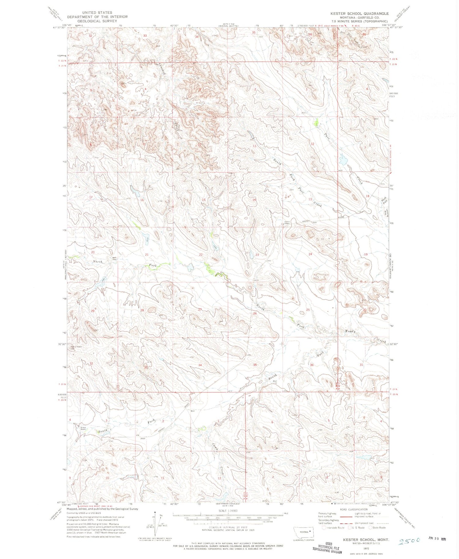
Classic USGS Kester School Montana 7.5'x7.5' Topo Map
Couldn't load pickup availability
Historical USGS topographic quad map of Kester School in the state of Montana. Map scale may vary for some years, but is generally around 1:24,000. Print size is approximately 24" x 27"
This quadrangle is in the following counties: Garfield.
The map contains contour lines, roads, rivers, towns, and lakes. Printed on high-quality waterproof paper with UV fade-resistant inks, and shipped rolled.
Contains the following named places: 21N39E12C___01 Well, 21N39E22A___01 Well, 21N39E22D___01 Well, 21N40E18D___01 Well, Big Bucks Number 11 Dam, Big Bucks Number 13 Dam, Binion Number 4 Dam, Binion Ranch, Buffalo Hill Dam, Buffalo Hill Reservoir, Camp Creek, Claribell Number 5 Dam, Claribell Number 6 Dam, Hays Dam, Kester School, North Fork Pass Creek, North Fork Woody Creek, South Fork Pass Creek, South Fork Woody Creek


