MyTopo
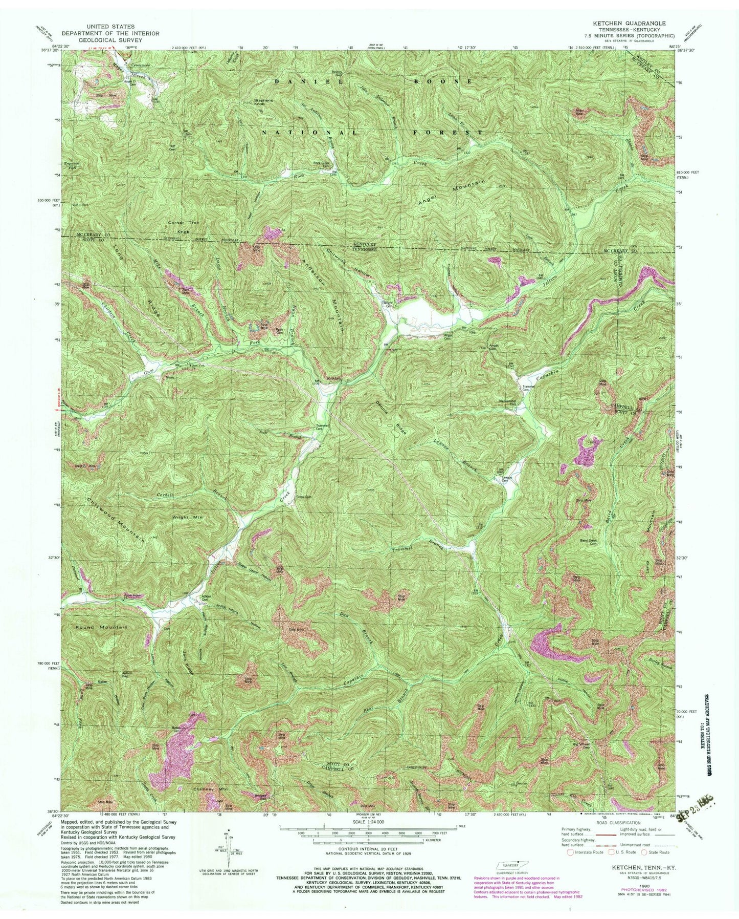
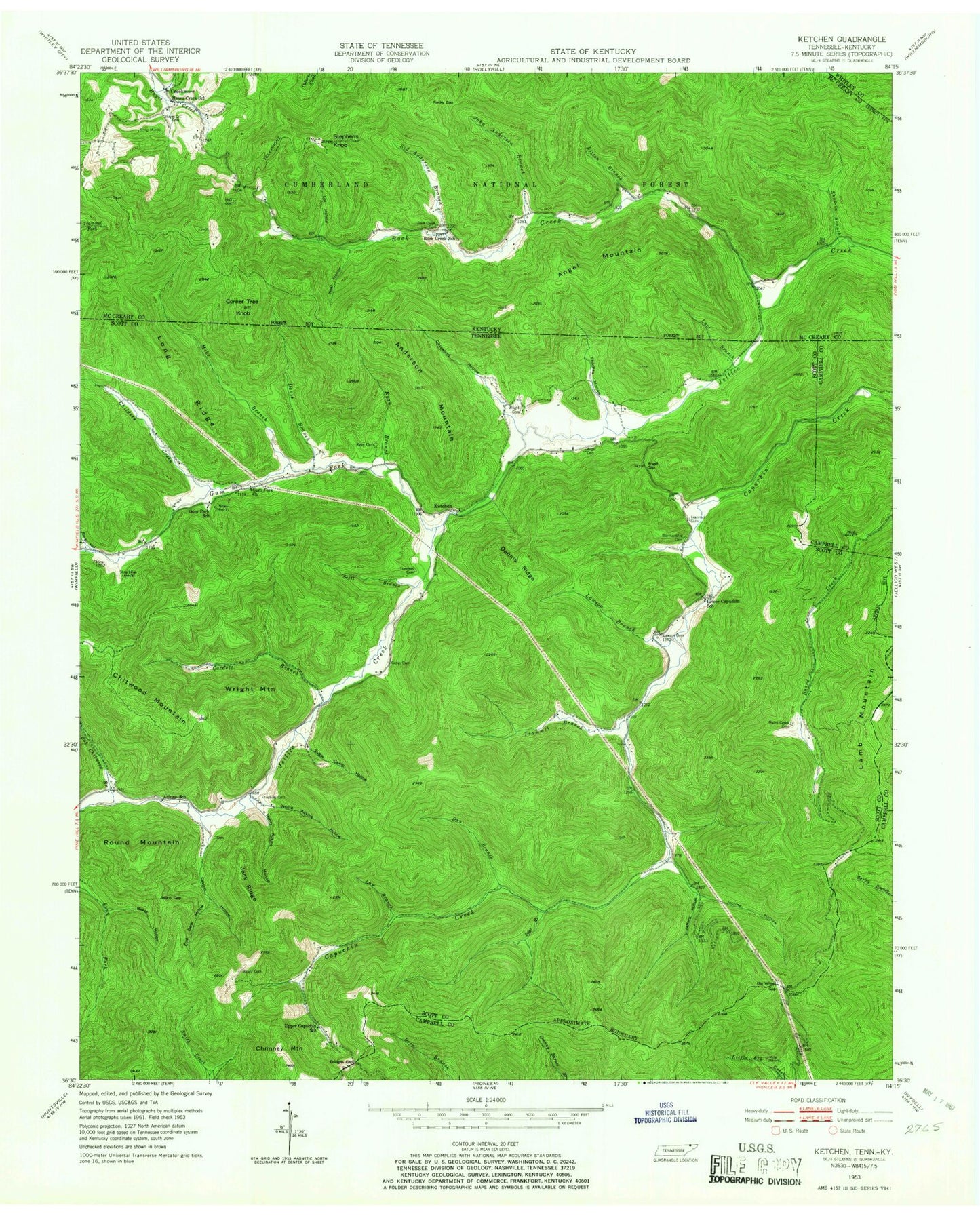
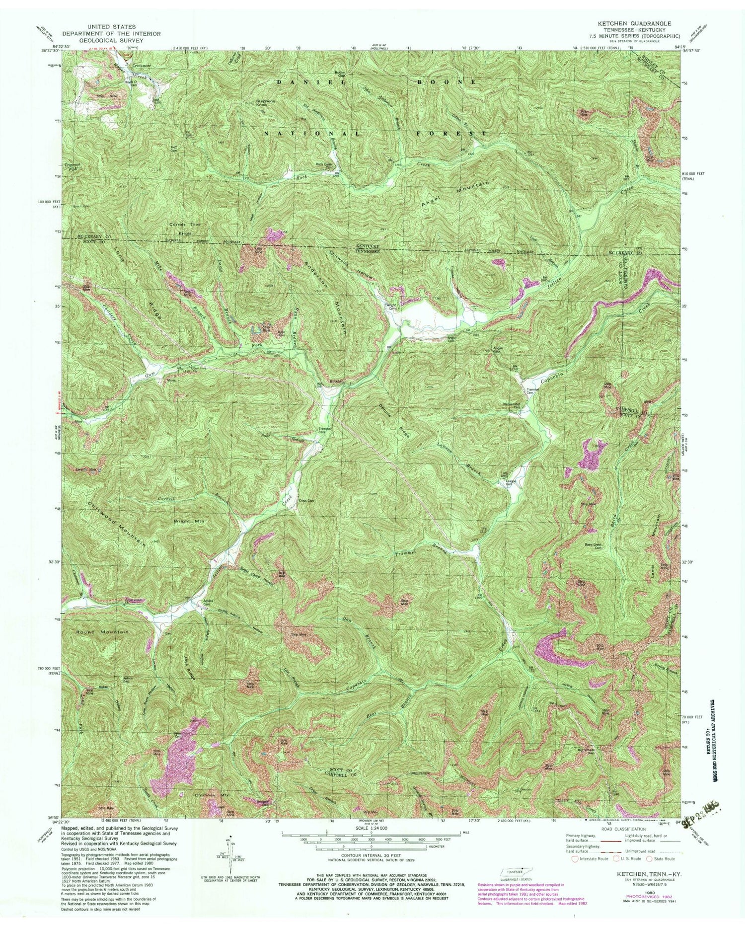
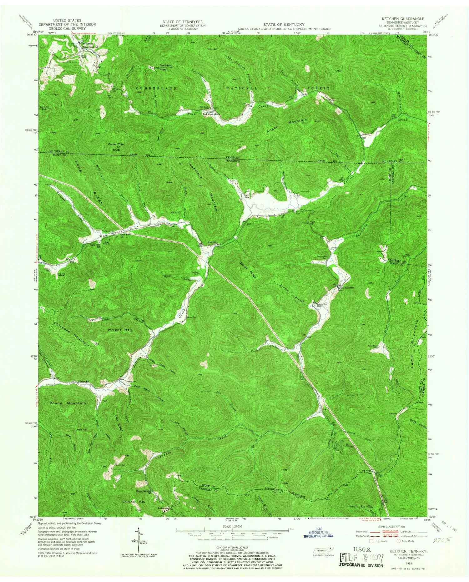
Classic USGS Ketchen Tennessee 7.5'x7.5' Topo Map
Couldn't load pickup availability
Historical USGS topographic quad map of Ketchen in the states of Tennessee, Kentucky. Map scale may vary for some years, but is generally around 1:24,000. Print size is approximately 24" x 27"
This quadrangle is in the following counties: Campbell, McCreary, Scott, Whitley.
The map contains contour lines, roads, rivers, towns, and lakes. Printed on high-quality waterproof paper with UV fade-resistant inks, and shipped rolled.
Contains the following named places: Adkins Cemetery, Adkins School, Anderson Mountain, Angel Cemetery, Angel Gap, Angel Mountain, Baird Creek Cemetery, Baird Mine, Baker Cemetery, Baker Hollow, Bear Branch, Big Wheel Gap, Blankenship Cemetery, Bridges Gap, Childers Creek, Chimney Mountain, Chitwood Branch, Chitwood Hollow, Chitwood Mountain, Coal Bank Hollow, Cordell Branch, Corner Tree Knob, Creekmore, Cross Cemetery, Dan Branch, Davis Branch, Dennis Ridge, Gum Fork, Gum Fork Church, Gum Fork Mine, Gum Fork School, Hayes Creek Cemetery, Hayes Creek School, Henry Adkins Hollow, Holt Cemetery, Incline Hollow, Jack Ridge, Jeffers Hollow, Jellico Gap, John Anderson Branch, Ketchen, Lamb Mountain, Law Branch, Lawson Branch, Lawson Cemetery, Laxton Hollow, Litton Branch, Long Ridge, Lot Hollow, Lower Capuchin School, Luce Branch, Mike Branch, Neal Hollow, Phillip Adkins Hollow, Raven Hollow, Rock Creek, Rock Creek Cemetery, Rocky Gap, Round Mountain, Ryan Branch, Ryan Cemetery, Scott Branch, Shut-In Branch, Sid Anderson Branch, Stephens Knob, Sugar Camp Hollow, Thomas Hollow, Trammel Branch, Trammel Cemetery, Upper Capuchin School, Upper Jellico Church, Upper Rock Creek School, Wright Cemetery, Wright Mountain, ZIP Code: 37892


