MyTopo
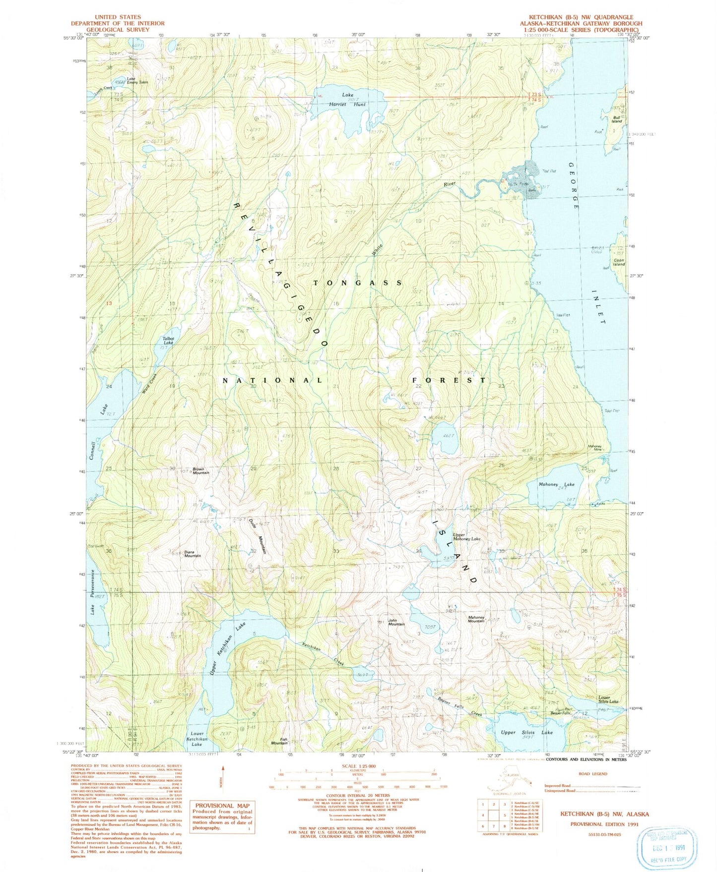
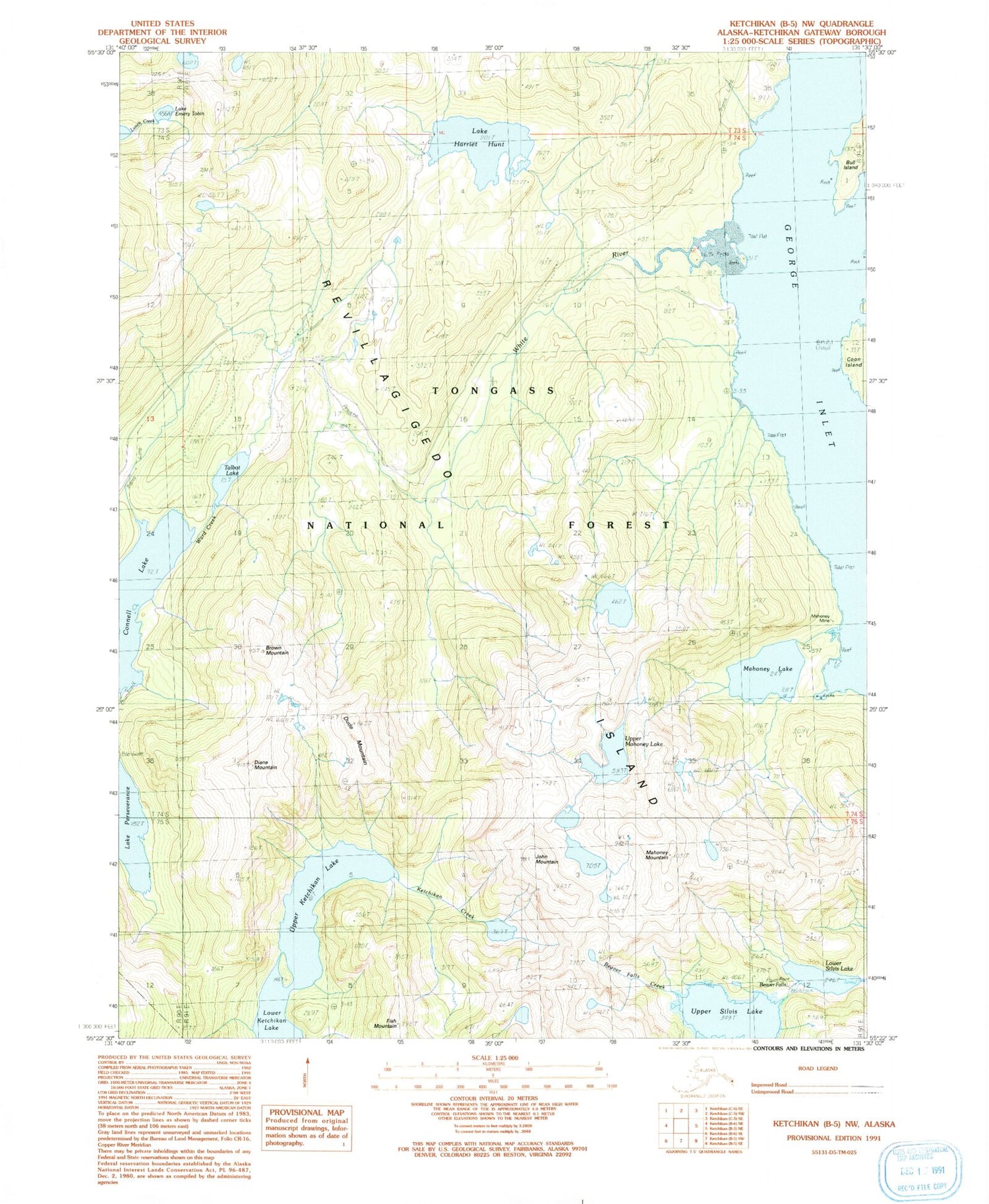
Classic USGS Ketchikan B-5 NW Alaska 7.5'x7.5' Topo Map
Couldn't load pickup availability
Historical USGS topographic quad map of Ketchikan B-5 NW in the state of Alaska. Typical map scale is 1:24,000, but may vary for certain years, if available. Print size: 24" x 27"
This quadrangle is in the following counties: Ketchikan Gateway.
The map contains contour lines, roads, rivers, towns, and lakes. Printed on high-quality waterproof paper with UV fade-resistant inks, and shipped rolled.
Contains the following named places: Talbot Lake, Upper Ketchikan Lake, Upper Mahoney Lake, Upper Silvis Lake, White River, White River Boy Scout Camp (historical), Lake Emery Tobin, Upper Silvis Lake Dam, Lower Silvis Lake Dam, Beaver Falls, Brown Mountain, Connell Lake, Coon Island, Diana Mountain, Dude Mountain, Fish Mountain, Harriet Hunt Lake, John Mountain, Lower Silvis Lake, Mahoney Lake, Mahoney Mine, Mahoney Mountain


