MyTopo
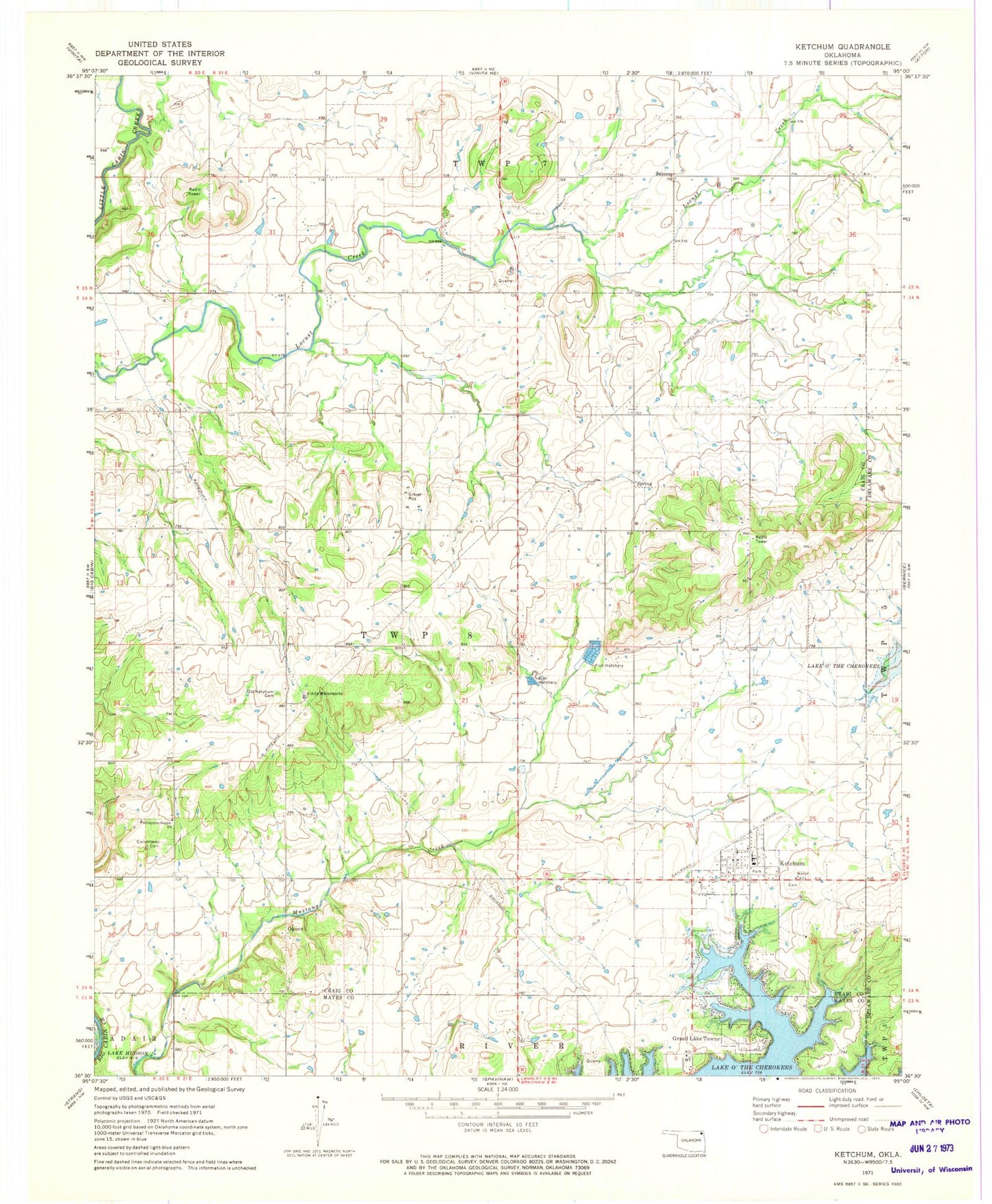
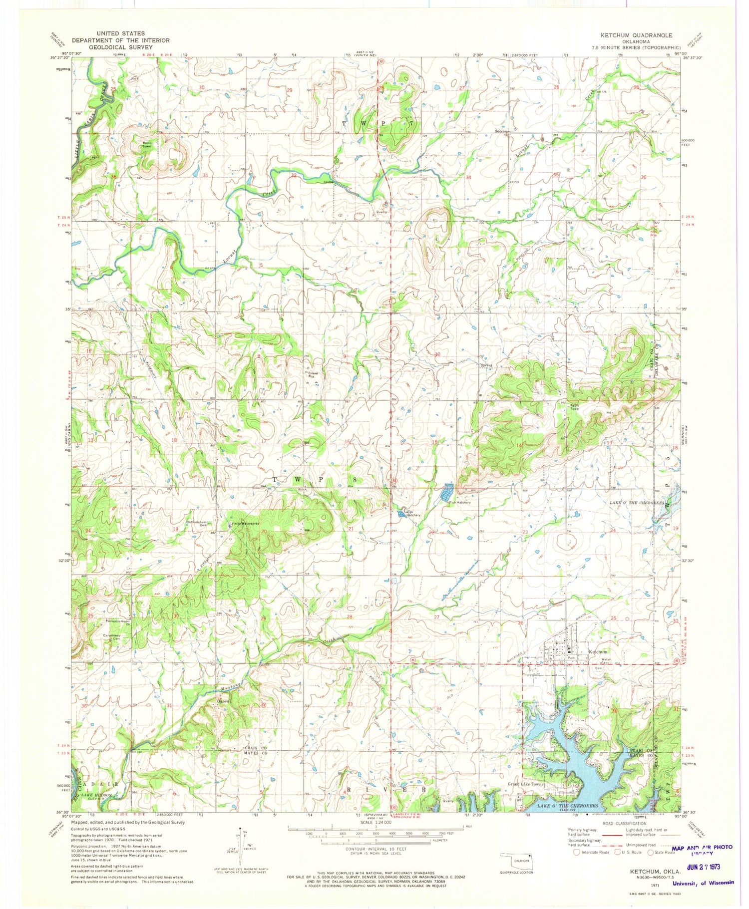
Classic USGS Ketchum Oklahoma 7.5'x7.5' Topo Map
Couldn't load pickup availability
Historical USGS topographic quad map of Ketchum in the state of Oklahoma. Map scale may vary for some years, but is generally around 1:24,000. Print size is approximately 24" x 27"
This quadrangle is in the following counties: Craig, Delaware, Mayes.
The map contains contour lines, roads, rivers, towns, and lakes. Printed on high-quality waterproof paper with UV fade-resistant inks, and shipped rolled.
Contains the following named places: Carselowey Cemetery, Carselowey Community Fire Department, Foursquare Gospel Church, Grand Lake Towne, Ketchum, Ketchum Cemetery, Ketchum Community, Ketchum Elementary School, Ketchum Emergency Medical Services, Ketchum Family Cemetery, Ketchum Fire Department, Ketchum High School, Ketchum Middle School, Ketchum Post Office, KITO-FM (Vinita), Okoee, South Grand Lake Regional Airport, Success, Town of Grand Lake Towne, Town of Ketchum, Vinita Waterworks, ZIP Code: 74349