MyTopo
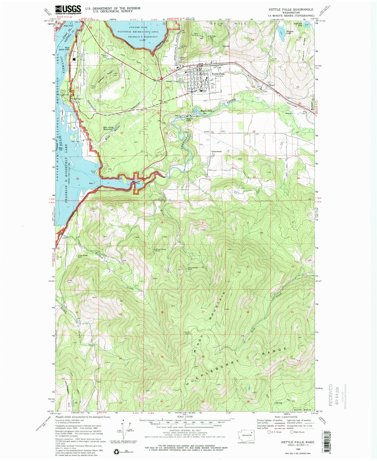
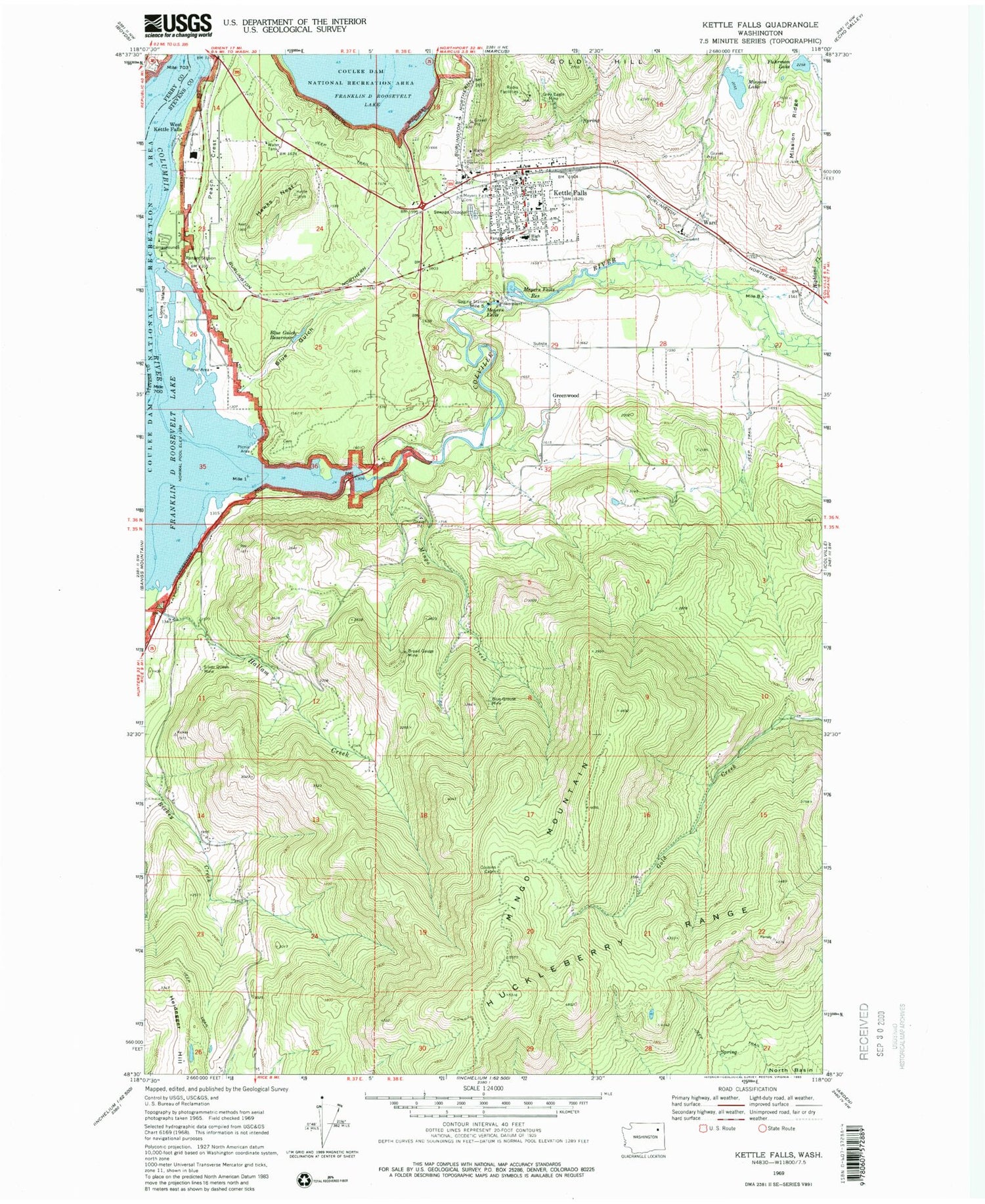
Classic USGS Kettle Falls Washington 7.5'x7.5' Topo Map
Couldn't load pickup availability
Historical USGS topographic quad map of Kettle Falls in the state of Washington. Map scale may vary for some years, but is generally around 1:24,000. Print size is approximately 24" x 27"
This quadrangle is in the following counties: Ferry, Stevens.
The map contains contour lines, roads, rivers, towns, and lakes. Printed on high-quality waterproof paper with UV fade-resistant inks, and shipped rolled.
Contains the following named places: Ark Mine, Avista Ash Landfill, Blue Grouse Mine, Blue Gulch, Blue Gulch Reservoir, Blue Gulch Reservoir Dam, Boise Cascade Mill Waste Pond, Boise Cascade Mill Waste Pond Dam, Broad Gauge Mine, City of Kettle Falls, Colville River, Cousins Cabin, Fuhrman Lake, Goodwin Station, Greenwood, Grey Eagle Mine, Hallam Creek, Hawks Nest, Heidegger Hill, Highland Creek, Kettle Falls, Kettle Falls Adventist Church, Kettle Falls Assembly of God Church, Kettle Falls Campground, Kettle Falls Community Church, Kettle Falls Elementary School, Kettle Falls High School, Kettle Falls Middle School, Kettle Falls Police Department, Kettle Falls Post Office, Kettle Falls Public Library, Kettle Falls Volunteer Fire Department, Kettle Falls Wastewater Treatment Plant, Lindseys Mobile Home Park, Lions Island, Meyers Falls, Meyers Falls Cemetery, Meyers Falls Dam, Meyers Falls Reservoir, Mingo Creek, Mingo Mountain, Mission Lake, Mission Ridge, Mountain View Mobile Home Park, New Life Apostolic Church, Old Kettle Falls Recreation Site, Peach Crest, Pentecostal Church, Silver Queen Mine, Stevens County Sanitary Landfill, Ward, West Kettle Falls, Yellow Pine Mobile Home Park


