MyTopo
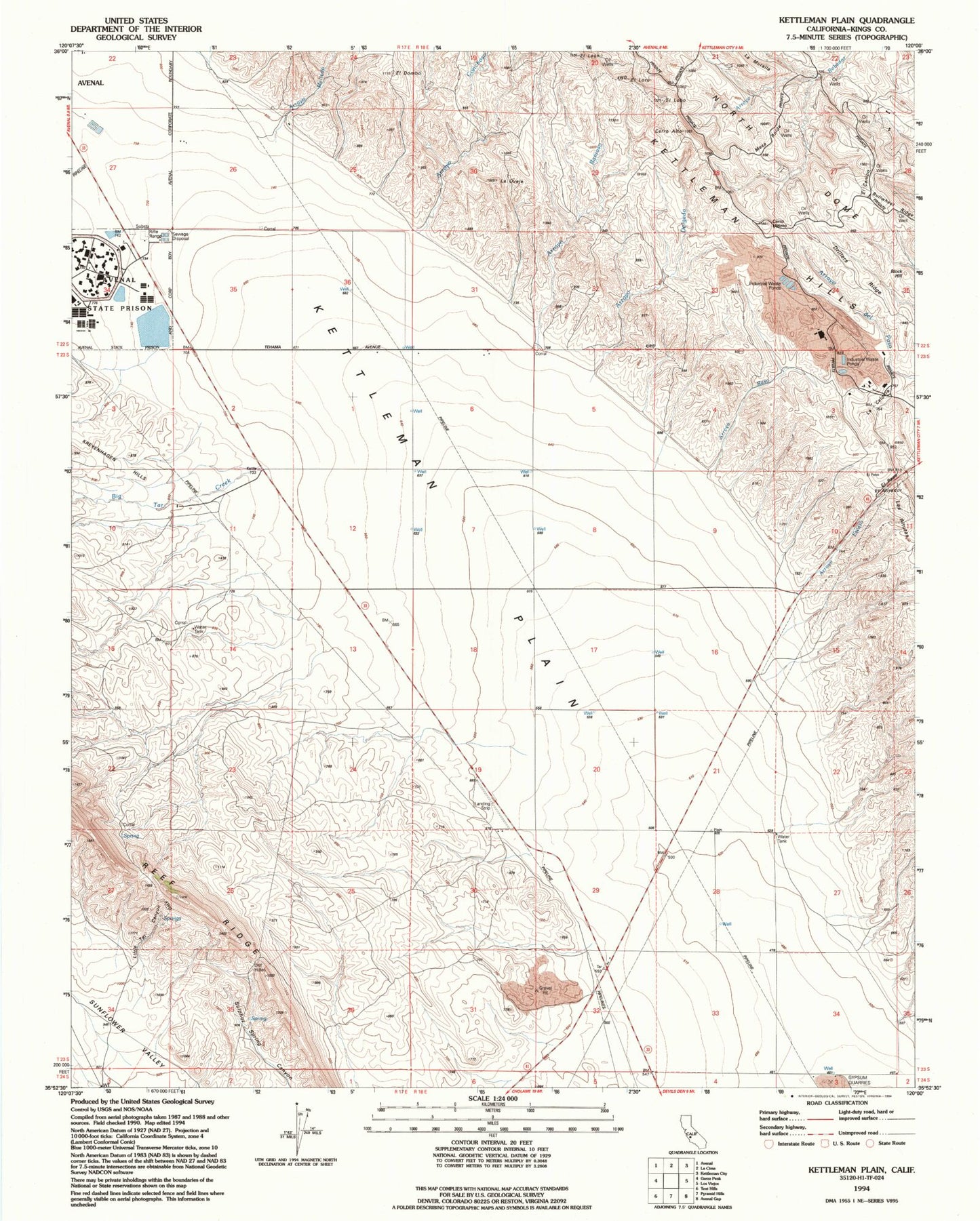
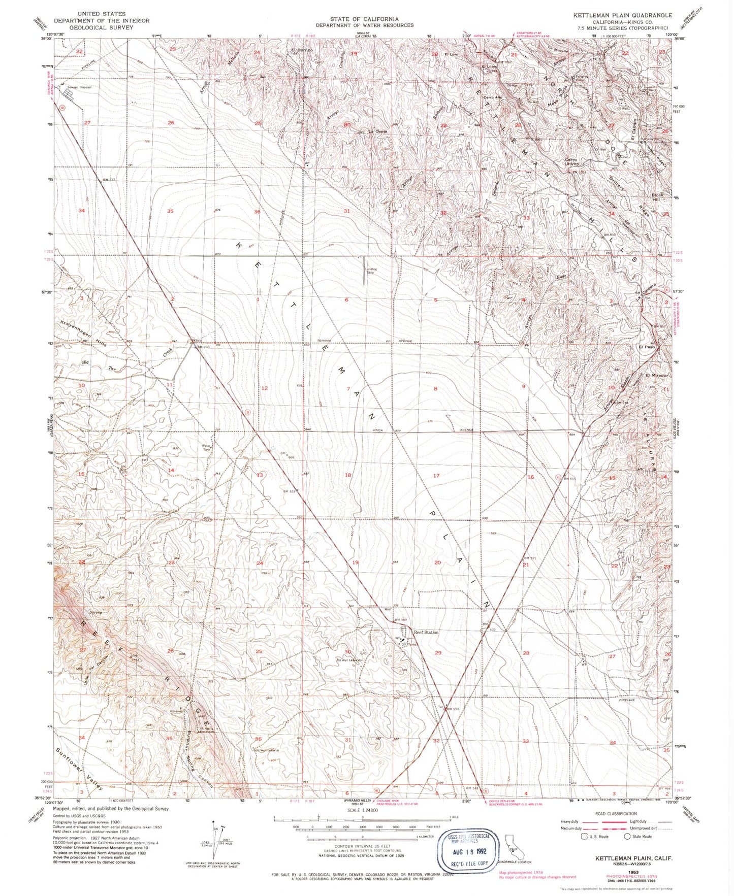
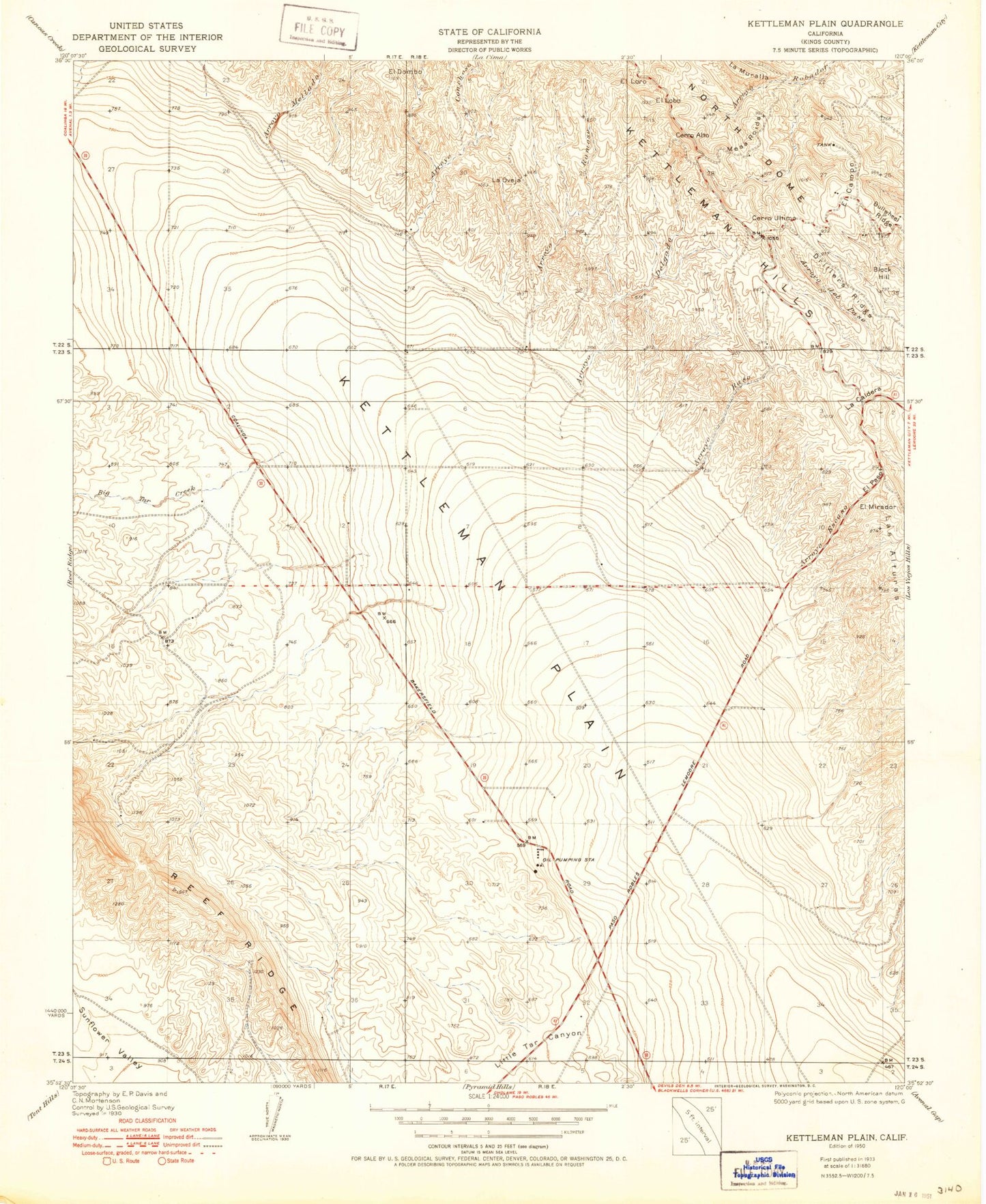
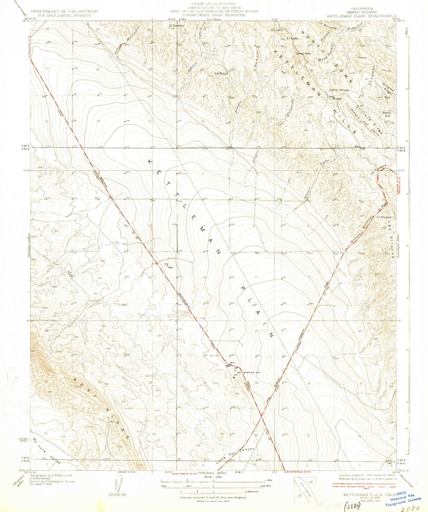
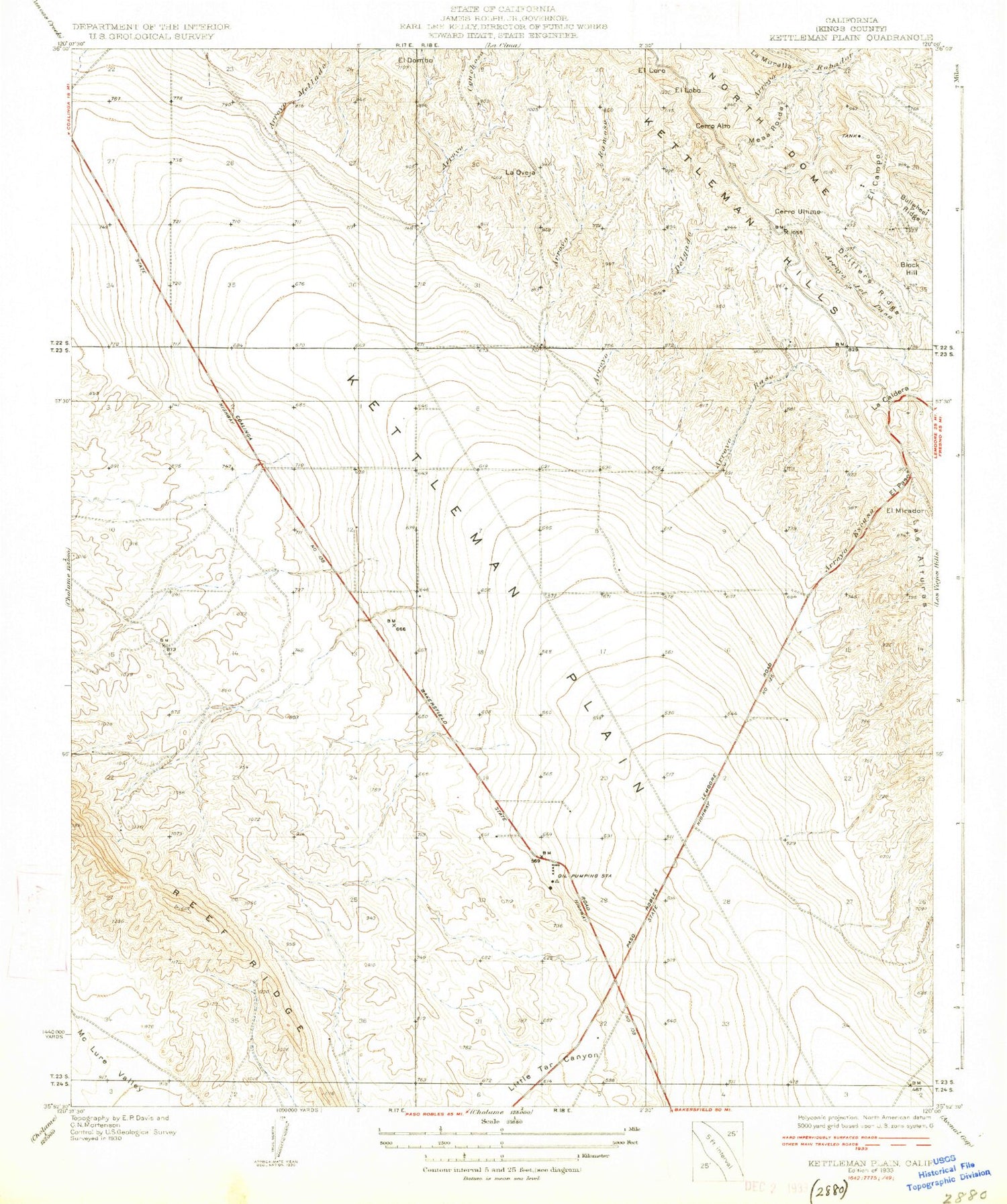
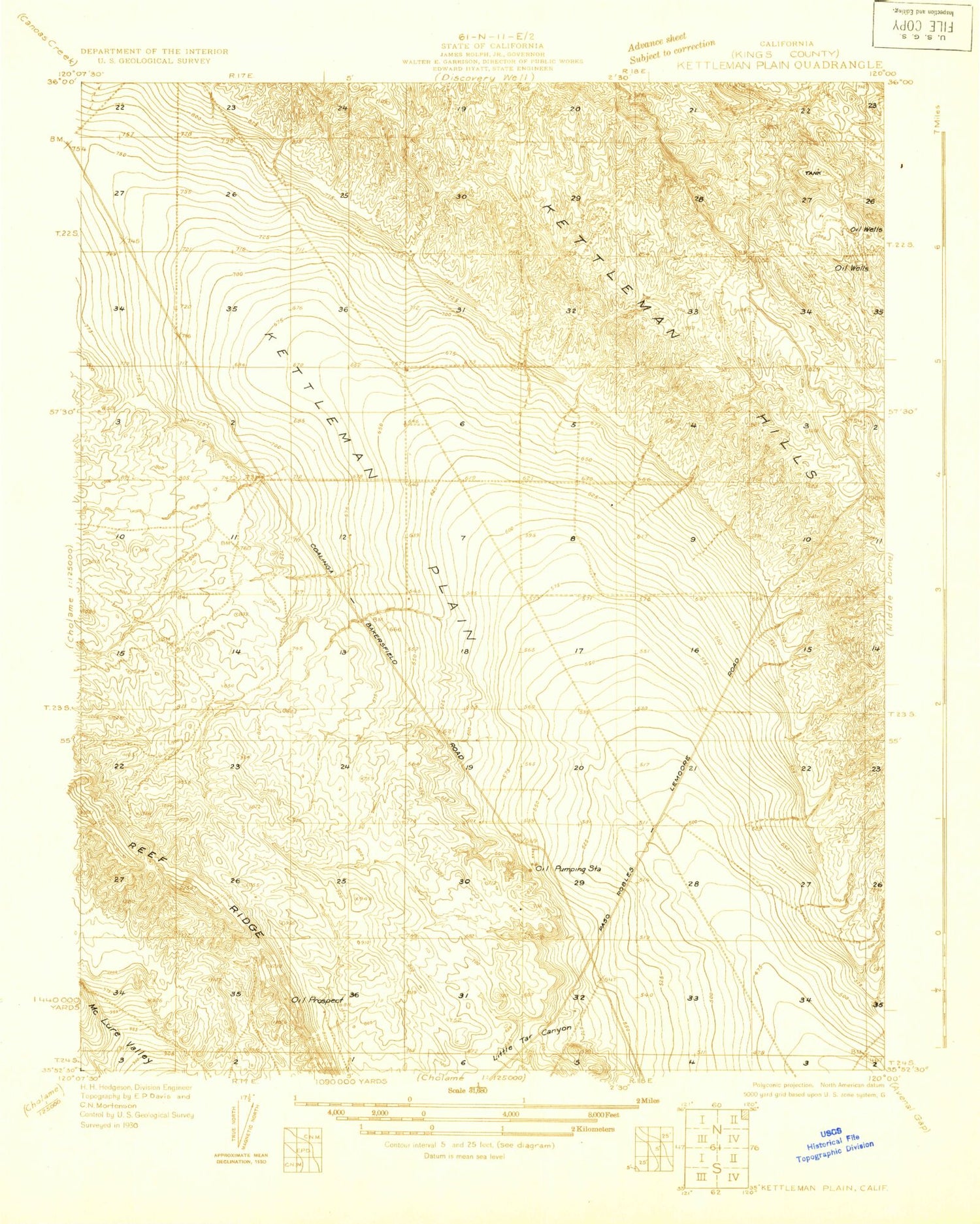
Classic USGS Kettleman Plain California 7.5'x7.5' Topo Map
Couldn't load pickup availability
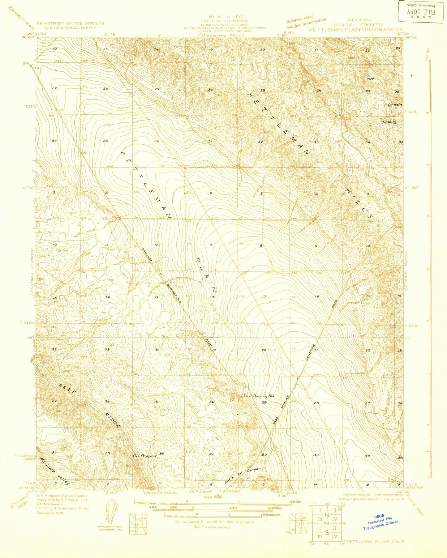
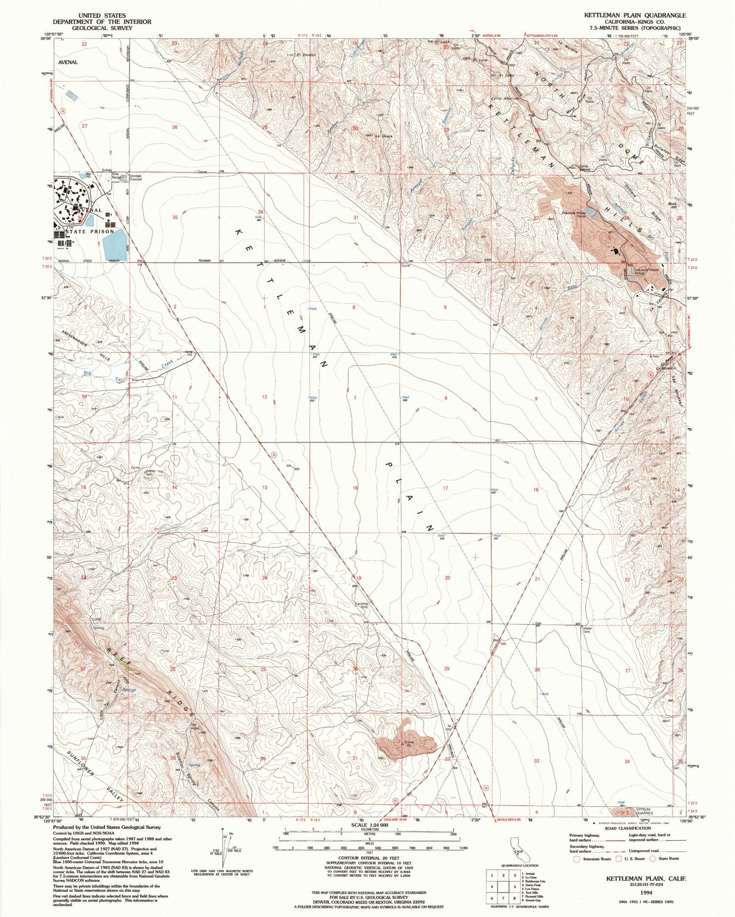
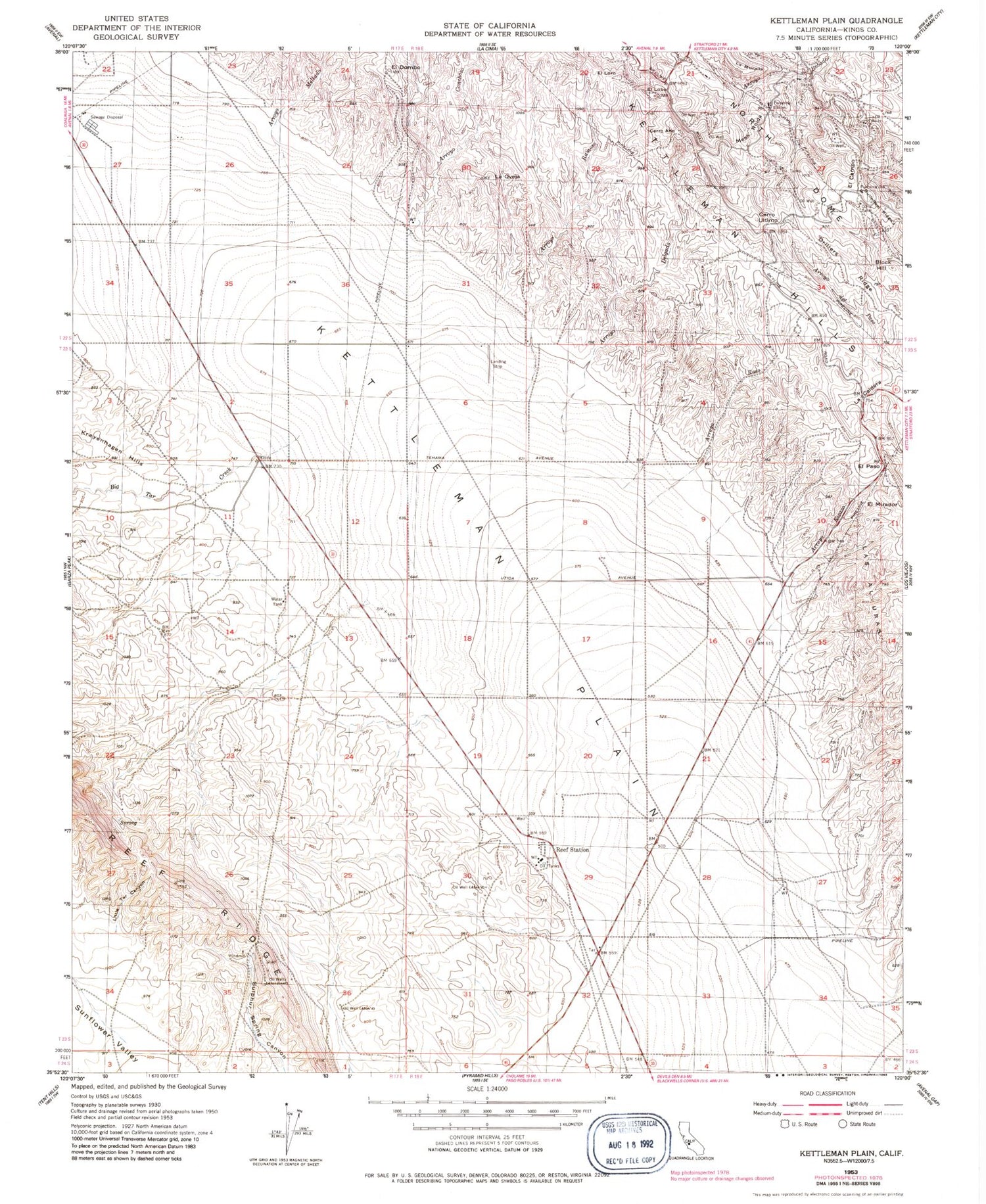
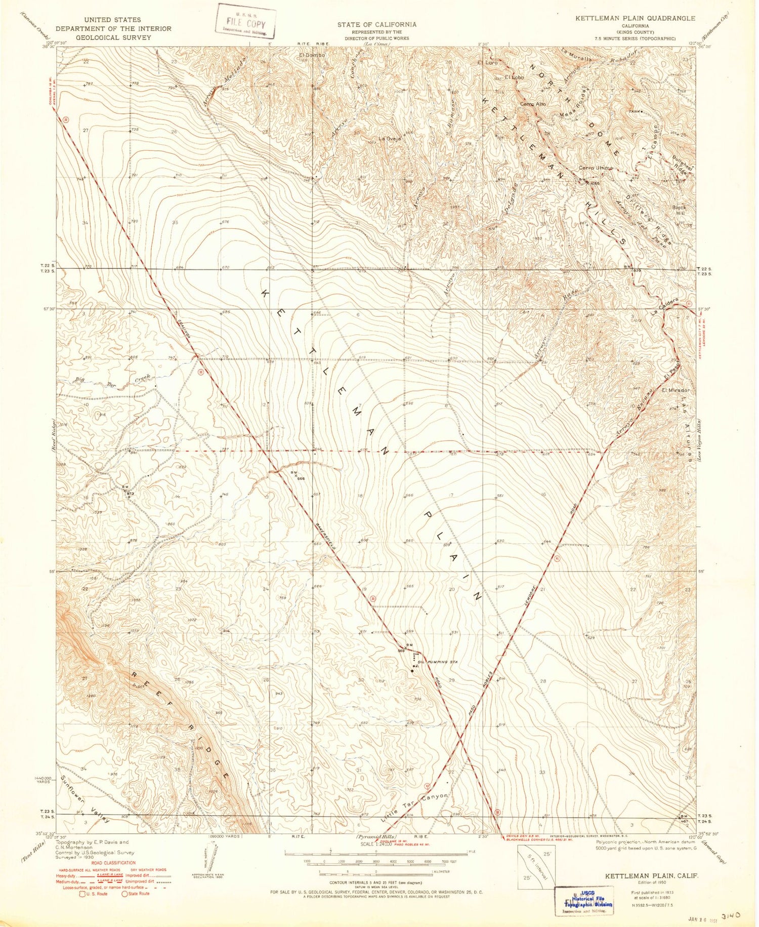
Historical USGS topographic quad map of Kettleman Plain in the state of California. Map scale may vary for some years, but is generally around 1:24,000. Print size is approximately 24" x 27"
This quadrangle is in the following counties: Kings.
The map contains contour lines, roads, rivers, towns, and lakes. Printed on high-quality waterproof paper with UV fade-resistant inks, and shipped rolled.
Contains the following named places: Arroyo Chico, Arroyo Conchoso, Arroyo del Camino, Arroyo Delgado, Arroyo Escaso, Arroyo Mellado, Arroyo Ramoso, Arroyo Raso, Arroyo Somero, Avenal Division, Avenal State Prison, Avenal State Prison Fire Department, Big Tar Creek, Block Hill, Bullwheel Ridge, Cerro Alto, Cerro Ultimo, Drillers Ridge, El Campo, El Dombo, El Leon, El Lobo, El Loro, El Mirador, El Paso, Kettleman Plain, La Caldera, La Oveja, Little Tar Canyon, Mesa Roida, Reef Station, ZIP Code: 93204
