MyTopo
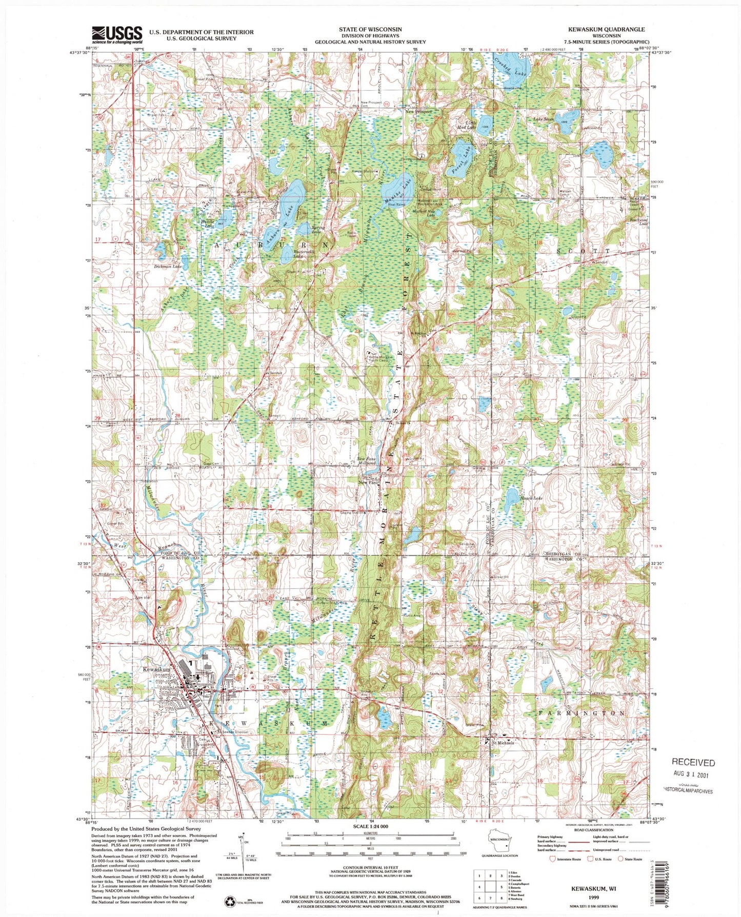
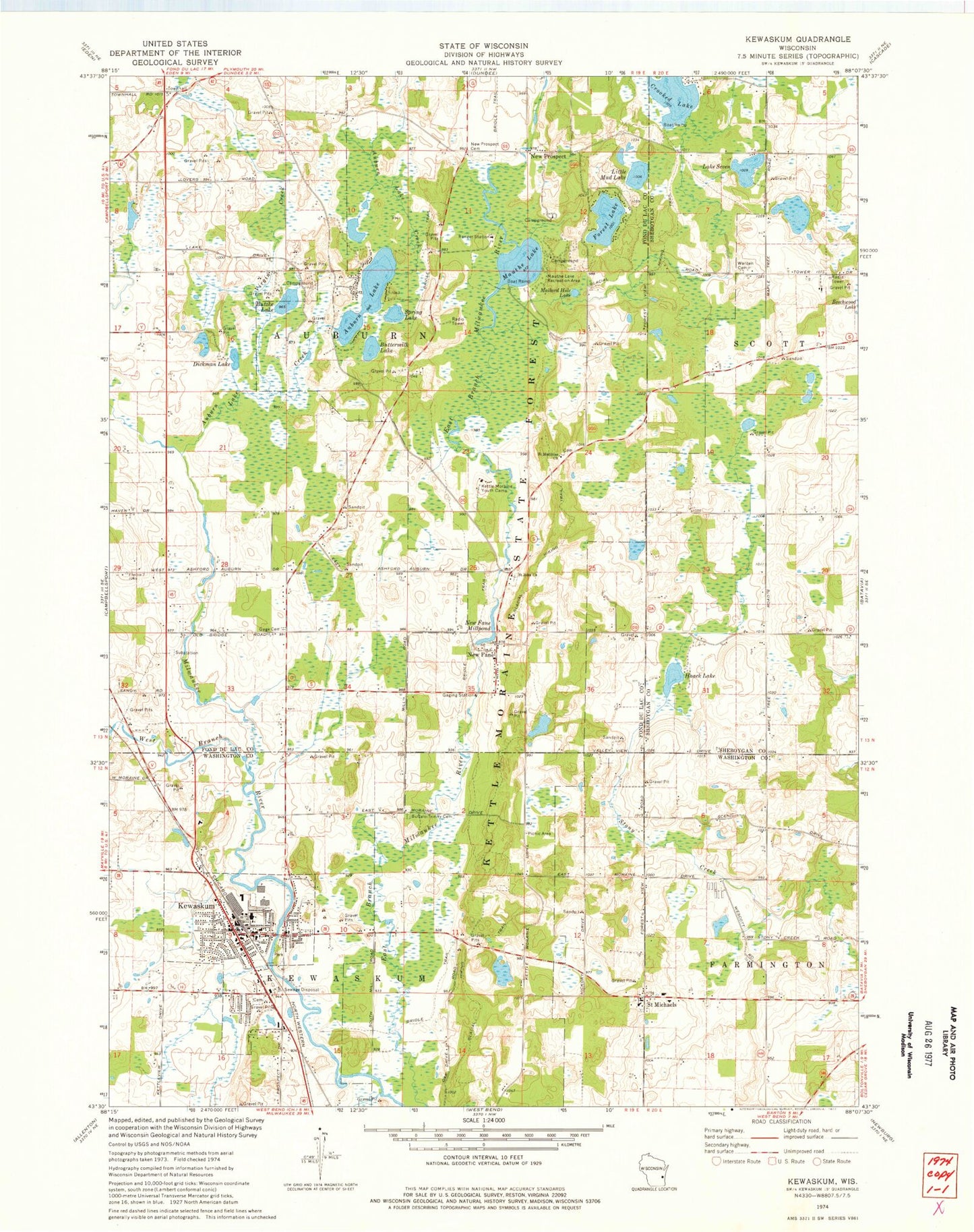
Classic USGS Kewaskum Wisconsin 7.5'x7.5' Topo Map
Couldn't load pickup availability
Historical USGS topographic quad map of Kewaskum in the state of Wisconsin. Typical map scale is 1:24,000, but may vary for certain years, if available. Print size: 24" x 27"
This quadrangle is in the following counties: Fond du Lac, Sheboygan, Washington.
The map contains contour lines, roads, rivers, towns, and lakes. Printed on high-quality waterproof paper with UV fade-resistant inks, and shipped rolled.
Contains the following named places: Auburn Lake, Auburn Lake Creek, Buffalo Trinity Cemetery, Buttermilk Lake, Butzke Lake, Crooked Lake, Dickman Lake, Forest Lake, Gage Cemetery, Haack Lake, Kettle Moraine Youth Camp, Kewaskum, Little Mud Lake, Mallard Hole Lake, Mauthe Lake, Mauthe Lake Recreation Area, New Fane, New Fane Millpond, New Prospect, New Prospect Cemetery, Saint John Evangelical Lutheran Church, Saint Matthias Catholic Church, Saint Michaels, Lake Seven, Spring Lake, Virgin Creek, Warden Cemetery, West Branch Milwaukee River, Town of Auburn, Village of Kewaskum, Town of Kewaskum, Holy Trinity Catholic Church, Holy Trinity Catholic School, Hon-E-Kor Country Club, Kewaskum Elementary School, Kewaskum High School, Kewaskum Industrial Park, Kewaskum Kiwanis Park, Kewaskum Middle School, Peace United Church of Christ, River Hill Park, Saint Lucas Grade School, Saint Lucas Lutheran Church, Saint Michael Catholic Church, Washington School (historical), East Valley School (historical), Gage School (historical), Lake Fifteen School (historical), Saint Johns Cemetery, Saint Johns School (historical), Saint Matthias Cemetery, Kettle Hole Woods State Natural Area, Haskell Noyes Memorial Woods State Natural Area, Milwaukee River and Swamp State Natural Area, Spring Lake State Natural Area, Kewaskum Maple-Oak Woods State Natural Area, Milwaukee River Floodplain Forest State Natural Area, Kewaskum Fire Department, Kewaskum Sewage Treatment Plant, Kewaskum Police Department, Kewaskum Millpond, Saint Lucas Cemetery, Kewaskum Post Office


