MyTopo
Classic USGS Key West Florida 7.5'x7.5' Topo Map
Couldn't load pickup availability
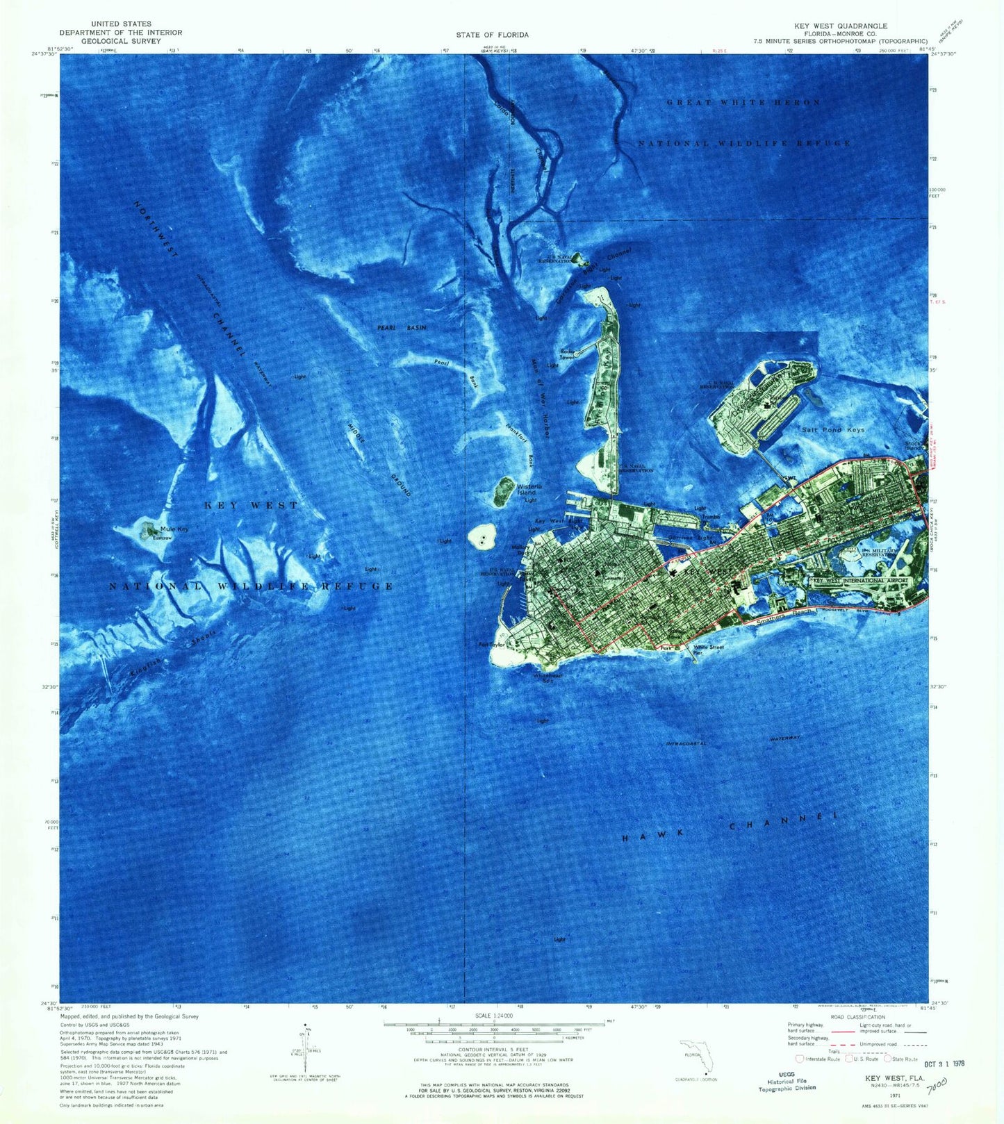
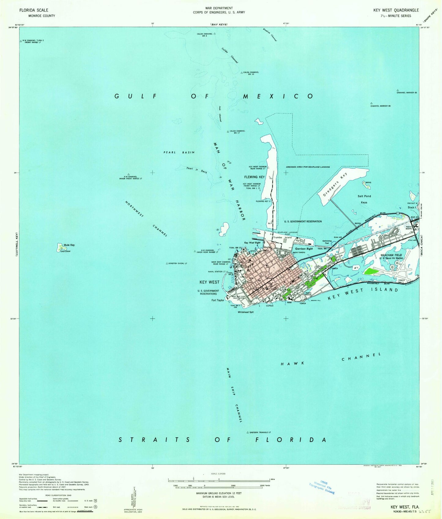
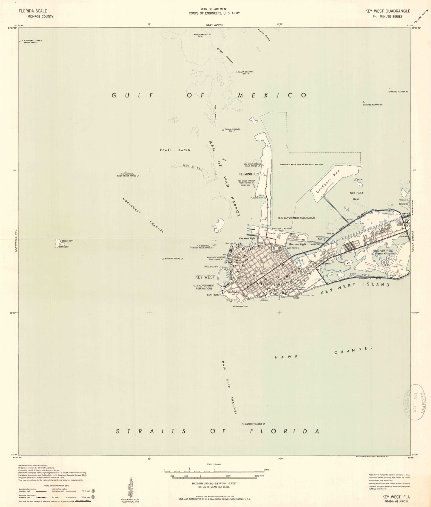
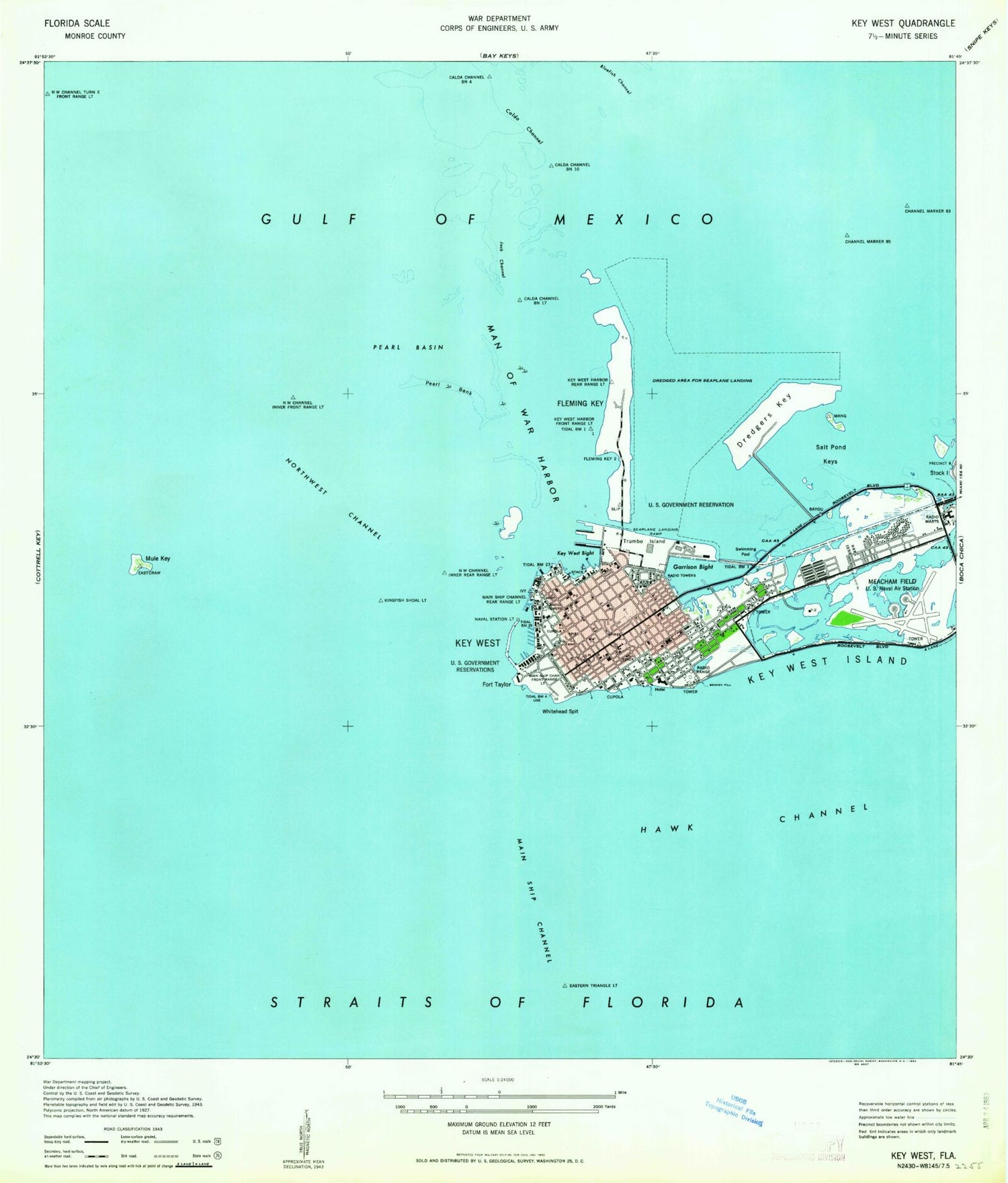
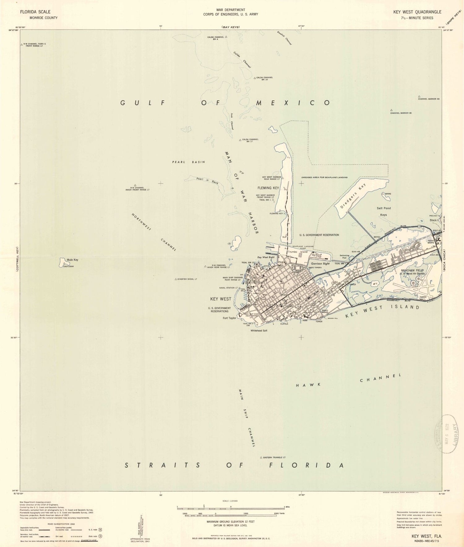
Historical USGS topographic quad map of Key West in the state of Florida. Map scale may vary for some years, but is generally around 1:24,000. Print size is approximately 24" x 27"
This quadrangle is in the following counties: Monroe.
The map contains contour lines, roads, rivers, towns, and lakes. Printed on high-quality waterproof paper with UV fade-resistant inks, and shipped rolled.
Contains the following named places: A Sunny Day School, American Medical Response Key West Rescue, Big Coppitt First Baptist Church, Bluefish Channel, Calda Bank, Calda Channel, Chalks Key West Seaplane Base, Church of Christ, Church of God, City of Key West, DeWitt E Roberts Softball Diamond, Dredgers Key, East Martello Museum, Ernest Hemingway House, Federal Bureau of Investigation - Key West Resident Agency, Fifth Street Baptist Church, Flager Key West Post Office, Fleming Key, Fleming Key Cut, Florida Department of Law Enforcement Key West Field Office, Fort Zachary Taylor, Fort Zachary Taylor Historic State Park, Frankfort Bank, Garrison Bight, Garrison Bight Channel, George Mira Football Field, Glynn Archer Elementary School, Grace Lutheran Church, Grace Lutheran School, Greater Keys Baptist Church, Gulf of Mexico Seaplane Base, Holy Innocents Episcopal Church, Holy Trinity Lutheran Church, Horace O Bryant School, Jack Channel, Key Plaza, Key West, Key West Baptist Temple, Key West Bight, Key West Cemetery, Key West Fire Department Central Station, Key West Fire Department Station 2, Key West Fire Department Station 3, Key West High School, Key West International Airport, Key West International Airport Fire Department, Key West Police Department, Key West Police Department Poinciana Substation, Key West Police Department Substation, Key West Post Office, Key West Skill Center, Kingfish Shoals, Lower Keys Church of Christ, Lower Keys Medical Center dePoo Building, Main Channel Cut B Range Front Light, Main Ship Channel, Mallory Dock, Man of War Harbor, Mary Immaculate High School, May Sands School, Middle Ground, Monroe County Public Library, Monroe County Sheriff's Office, Monroe County Sheriff's Office - Aviation Division, Monroe County Sheriff's Office - Property Section, Monroe County Sheriff's Office Headquarters, Mule Key, Nancy Forrester's Secret Garden, Naval Air Facility Key West Fire and Emergency Services Station 2, Naval Air Facility Key West Fire and Emergency Services Station 3, Northwest Channel, Pearl Bank, Pearl Basin, Poinciana Elementary School, Reynolds School, Richard A Heyman Wastewater Treatment Plant, Saint Bedes Catholic Church, Saint James Missionary Baptist Church, Saint Pauls Episcopal Church, Saint Peters Episcopal Church, Salt Pond Keys, Sigsbee School, Smathers Beach, Stadium Mobile Home Park, Sunset Plaza, Tank Island, The Church of Jesus Christ of Latter Day Saints, Trumbo Point, Truval Village Market Place, US Drug Enforcement Administration, US Marshals Service, Wesley House Child Care Center, WEYS-TV (Key West), White Street Pier, Whitehead Spit, Wickers Sports Complex, Wickers Stadium, WIIS-FM (Key West), Wisteria Island, WJIR-FM (Key West), WKRY-FM (Key West)