MyTopo
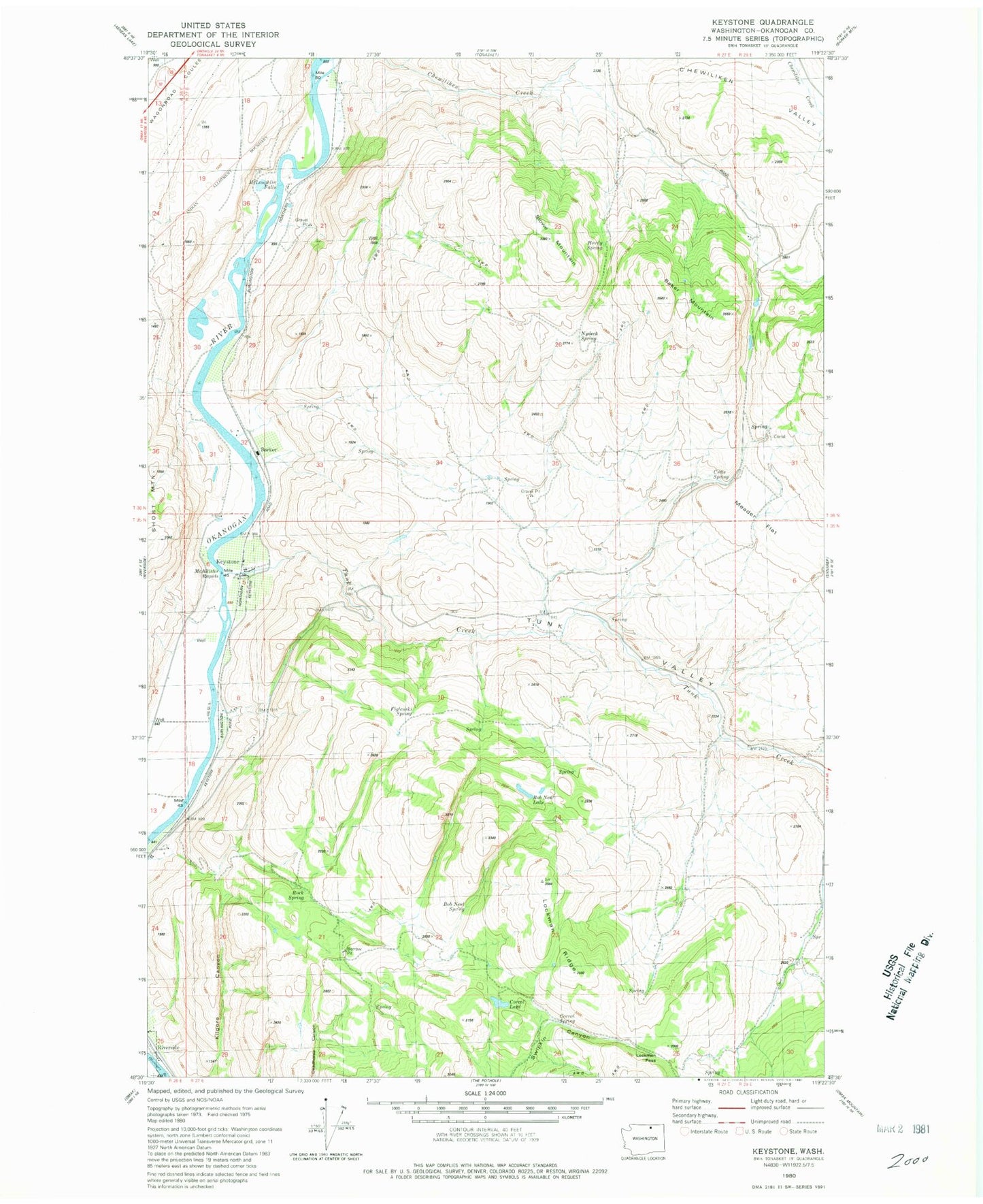
Classic USGS Keystone Washington 7.5'x7.5' Topo Map
Couldn't load pickup availability
Historical USGS topographic quad map of Keystone in the state of Washington. Map scale may vary for some years, but is generally around 1:24,000. Print size is approximately 24" x 27"
This quadrangle is in the following counties: Okanogan.
The map contains contour lines, roads, rivers, towns, and lakes. Printed on high-quality waterproof paper with UV fade-resistant inks, and shipped rolled.
Contains the following named places: Baker Mountain, Barker, Bob Neal Lake, Bob Neal Spring, Chewiliken Valley, Corral Lake, Corral Spring, Cutts Spring, Figlenski Spring, Hardy Spring, Keystone, Kilgore Canyon, Lockman Pass, Lockman Ridge, McAllister Rapids, McLoughlin Falls, Meader Flat, Nydeck Spring, Stowe Mountain, Tunk Creek, Tunk Valley, ZIP Code: 98849