MyTopo
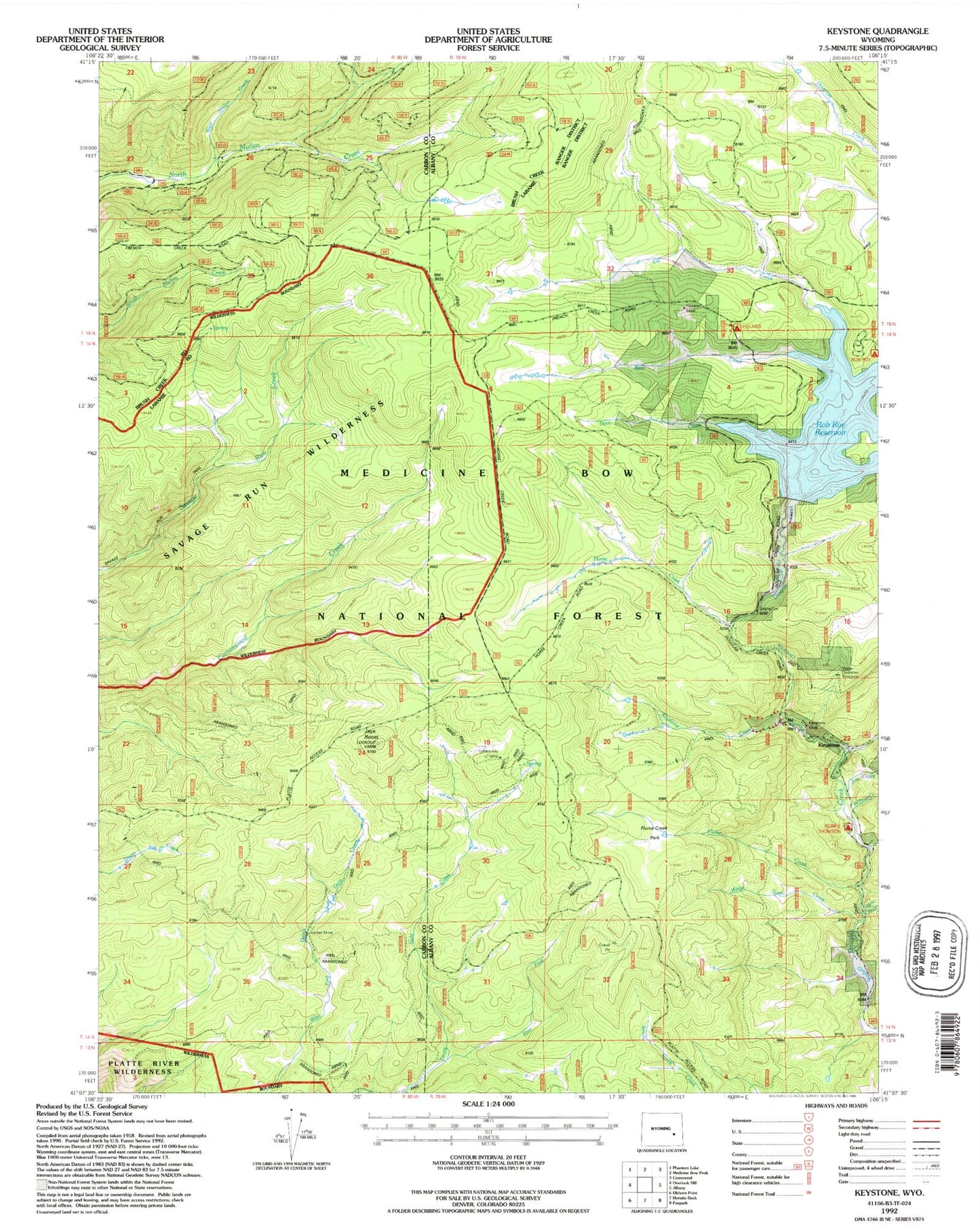
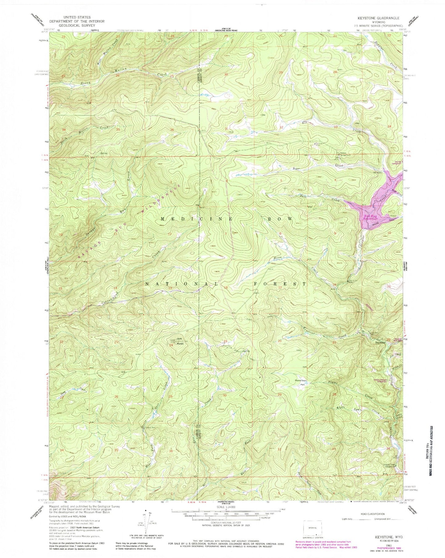
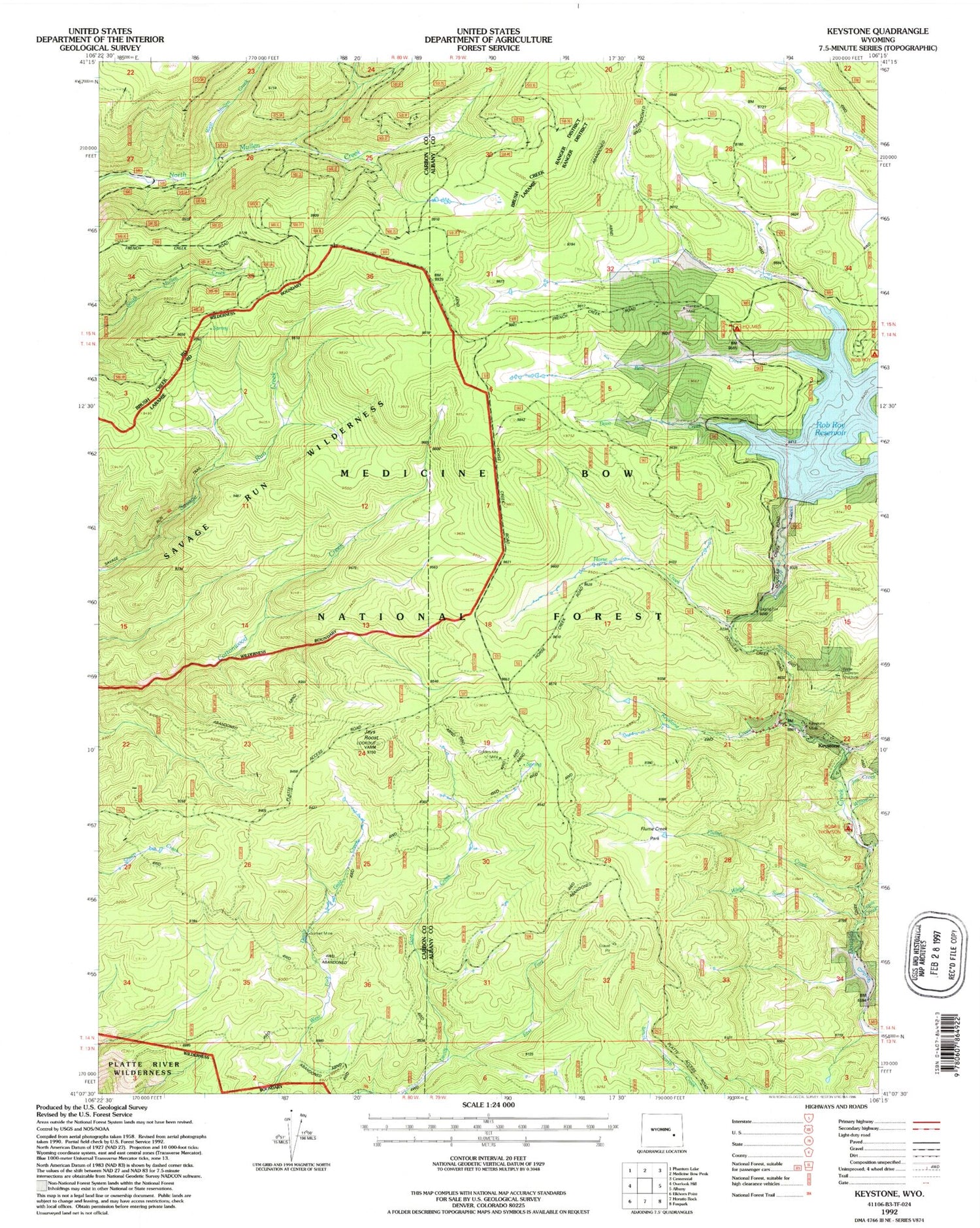
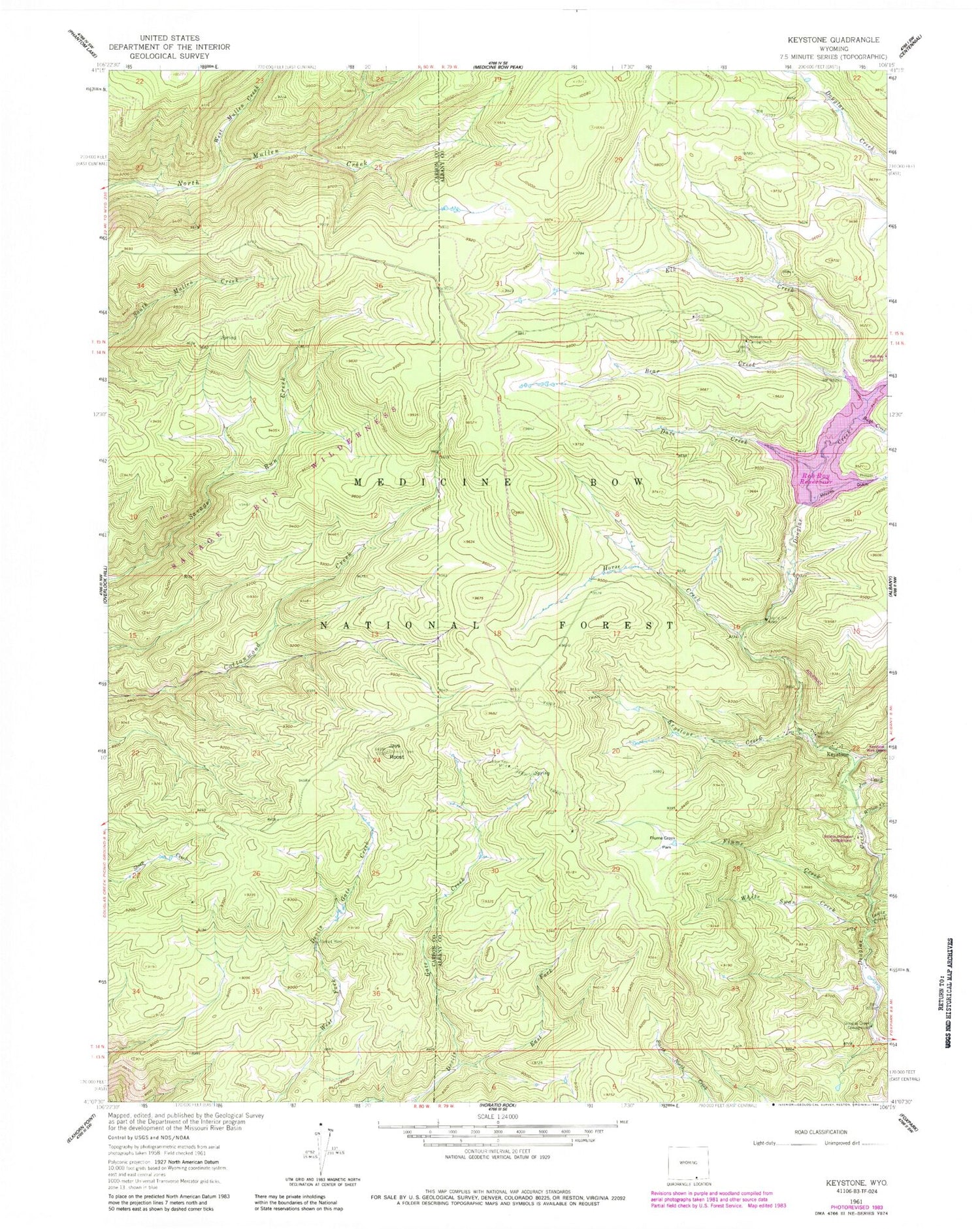
Classic USGS Keystone Wyoming 7.5'x7.5' Topo Map
Couldn't load pickup availability
Historical USGS topographic quad map of Keystone in the state of Wyoming. Typical map scale is 1:24,000, but may vary for certain years, if available. Print size: 24" x 27"
This quadrangle is in the following counties: Albany, Carbon.
The map contains contour lines, roads, rivers, towns, and lakes. Printed on high-quality waterproof paper with UV fade-resistant inks, and shipped rolled.
Contains the following named places: Bear Creek, Dave Creek, Douglas Creek Campground, East Fork Devils Gate Creek, Elk Creek, Flume Creek, Flume Creek Park, Golden Key Mine, Holmes Campground, Horse Creek, Jays Roost, Jim Creek, Keystone, Keystone Creek, Keystone Guard Station, Keystone Mine, Keystone Ranger Station, Lewis Creek, Little Beaver Creek, Rush Creek, Sunset Mine, West Mullen Creek, White Swan Creek, Willow Creek, Thompson Dam, Thompson Reservoir, Rob Roy Dam, Rob Roy Reservoir, Inversion Cabin Prospects, Maudem Group Mine, Rambler Mine, Albany Development Company Mine, Albany Placer Mine, Douglas Mine, Duchess Mine, Home Placers Mine, Moores Gulch Mine, Morning Star Claim, New Rambler Mine, Ak-sar-ben Group Mine, Hamilton Group Mine, Florence Mine


