MyTopo
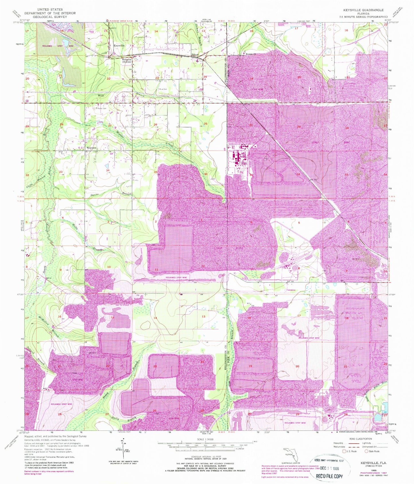
Classic USGS Keysville Florida 7.5'x7.5' Topo Map
Couldn't load pickup availability
Historical USGS topographic quad map of Keysville in the state of Florida. Map scale may vary for some years, but is generally around 1:24,000. Print size is approximately 24" x 27"
This quadrangle is in the following counties: Hillsborough, Polk.
The map contains contour lines, roads, rivers, towns, and lakes. Printed on high-quality waterproof paper with UV fade-resistant inks, and shipped rolled.
Contains the following named places: Alafia Ranch, Alafia River State Park, Beulah Church, Blue Cemetery, Chito Branch, Cindy Lynn Place, Corbett Acres, Creightons Mizelle Creek Garden Estates, Edge, Edison, Edison Junction, Gully Branch, Guy Branch, Halls Branch, Hunter Cemetery, Hunters Hill, Jameson Farms, Keysville, Keysville Estates, Lane Acres, Lillibridge, Mac Acres, McMullen Branch, Mizelle Creek, New Wales Railroad Station, Owens Branch, Roberts, Rogers Ranch, Southwood Estates, Welcome, West Branch South Prong Alafia River, West Polk Railroad Station, ZIP Code: 33860