MyTopo
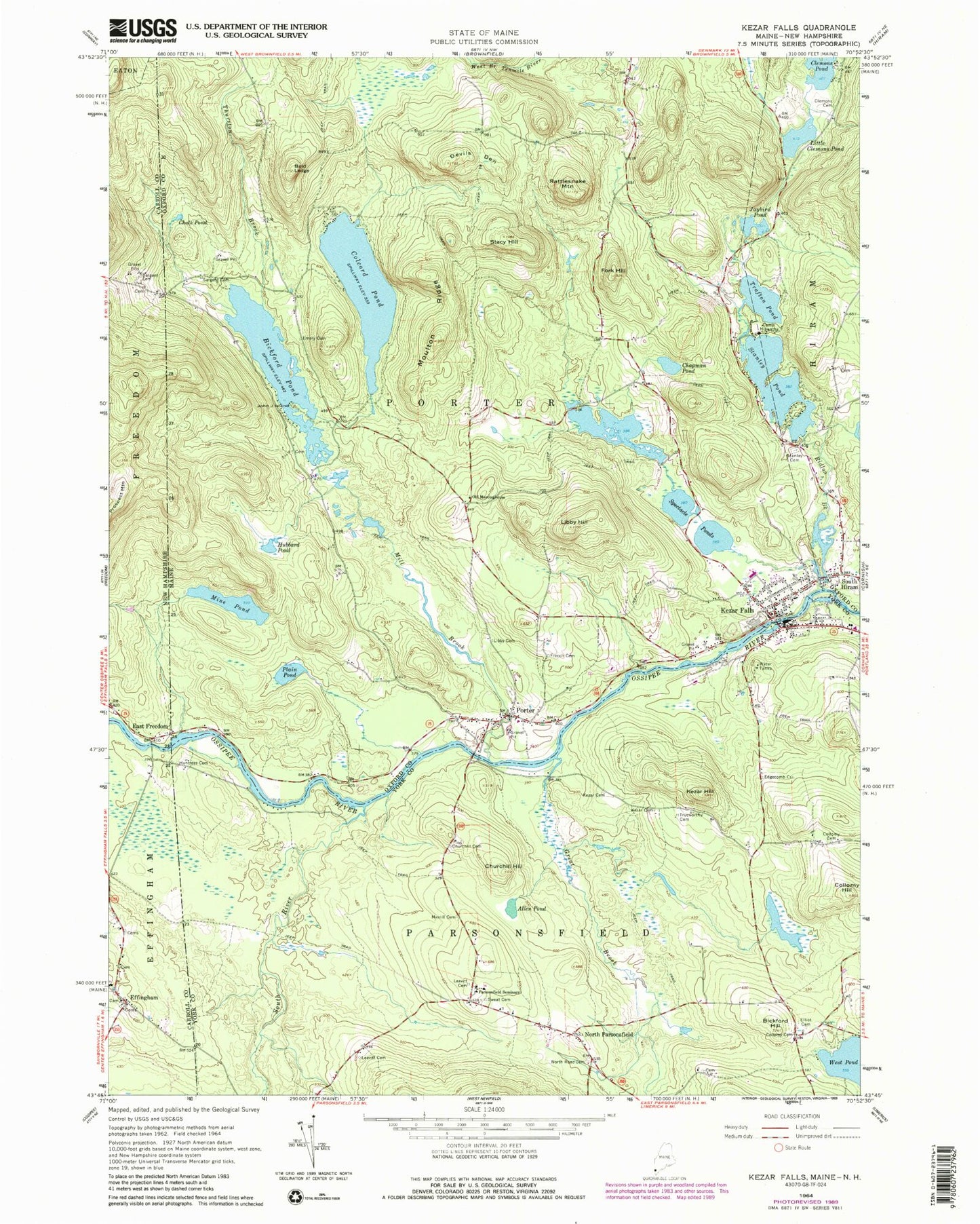
Classic USGS Kezar Falls Maine 7.5'x7.5' Topo Map
Couldn't load pickup availability
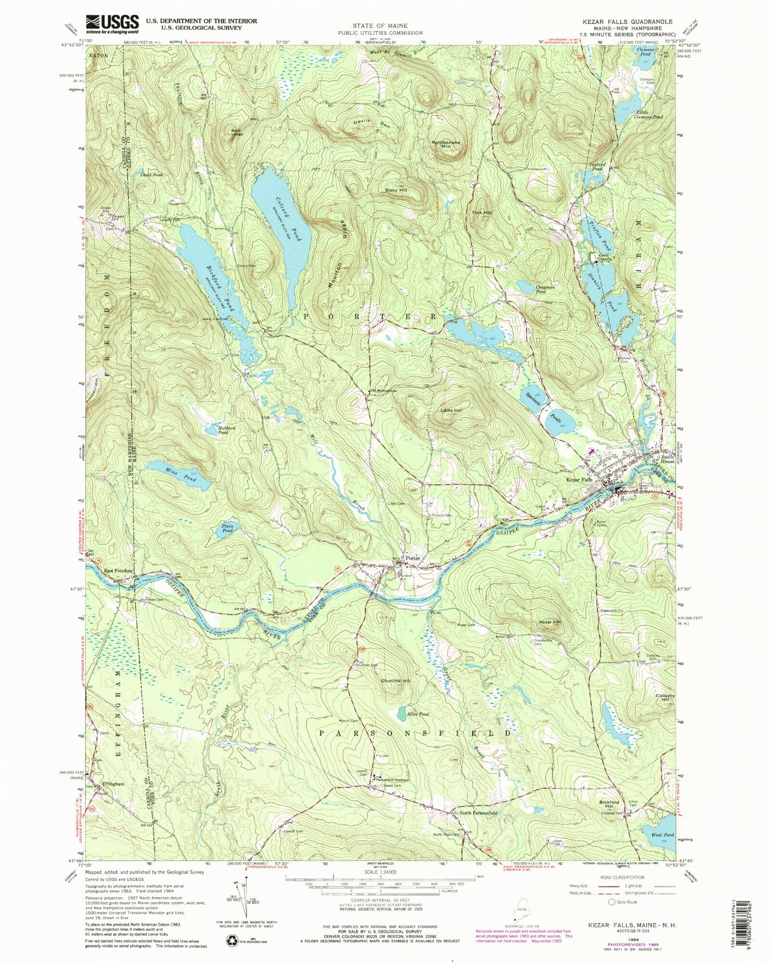
Historical USGS topographic quad map of Kezar Falls in the states of Maine, New Hampshire. Typical map scale is 1:24,000, but may vary for certain years, if available. Print size: 24" x 27"
This quadrangle is in the following counties: Carroll, Oxford, York.
The map contains contour lines, roads, rivers, towns, and lakes. Printed on high-quality waterproof paper with UV fade-resistant inks, and shipped rolled.
Contains the following named places: Allen Pond, Bald Ledge, Bickford Hill, Bickford Pond, Camp Hiawatha, Chalk Pond, Chapman Pond, Churchill Cemetery, Churchill Hill, Clemons Pond Cemetery, Colcord Pond, Collomy Cemetery, Collomy Cemetery, Collomy Hill, Devils Den, Edgecomb Cemetery, Elliot Cemetery, Emery Cemetery, Fork Hill, French - Gilman Cemetery, Great Brook, Hubbard Pond, Huntress - Pratt Cemetery, Jaybird Pond, Kezar Cemetery, Kezar Cemetery, Kezar Falls, Kezar Hill, Leavitt Cemetery, Leavitt Cemetery, French - Libby Cemetery, Libby Hill, Little Clemons Pond, Merrill Cemetery, Mill Brook, Mine Pond, Moulton Ridge, North Parsonsfield, North Road Cemetery, Old Meetinghouse, Parsonsfield Seminary, Plain Pond, Porter, Rattlesnake Mountain, Ridlon Brook, Sargent Cemetery, South Hiram, South River, Spectacle Ponds, Stacy Hill, Stanley Cemetery, Stanley Pond, Sweat Cemetery, Thurston Brook, Trafton Pond, Trueworthy Cemetery, John J Island, Town of Porter, Kezar Falls Dam, Ossipee River Reservoir, Kezar Falls Upper Dam, Ossipee River Reservoir, Bickford Pond Dam, Colcord Pond Dam, Stanley Pond Dam, Black Lake Dam, Black Lake, Mill Pond Dam, Ridlon Brook, Porter-Parsonfield Bridge, Porter Post Office, Parsonsfield Post Office, Kezar Falls Fire Station, Hiram Volunteer Fire Station South Hiram, Sacopee Rescue Ambulance Service, Porter Village Cemetery, Tripp Cemetery, Fred Morrill School, Kezar Falls Circulating Library, Kezar Falls Census Designated Place, Effingham, Sargent Cemetery, East Freedom


