MyTopo
Classic USGS Kiawah Island South Carolina 7.5'x7.5' Topo Map
Couldn't load pickup availability
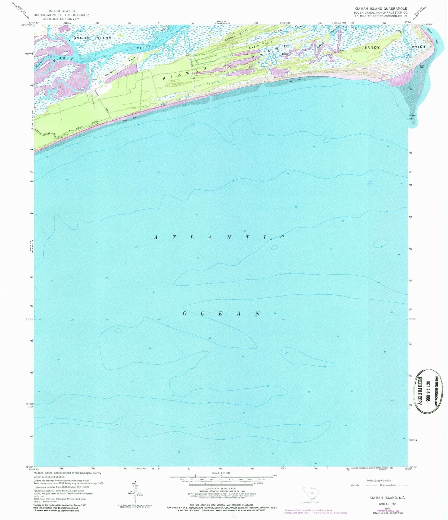
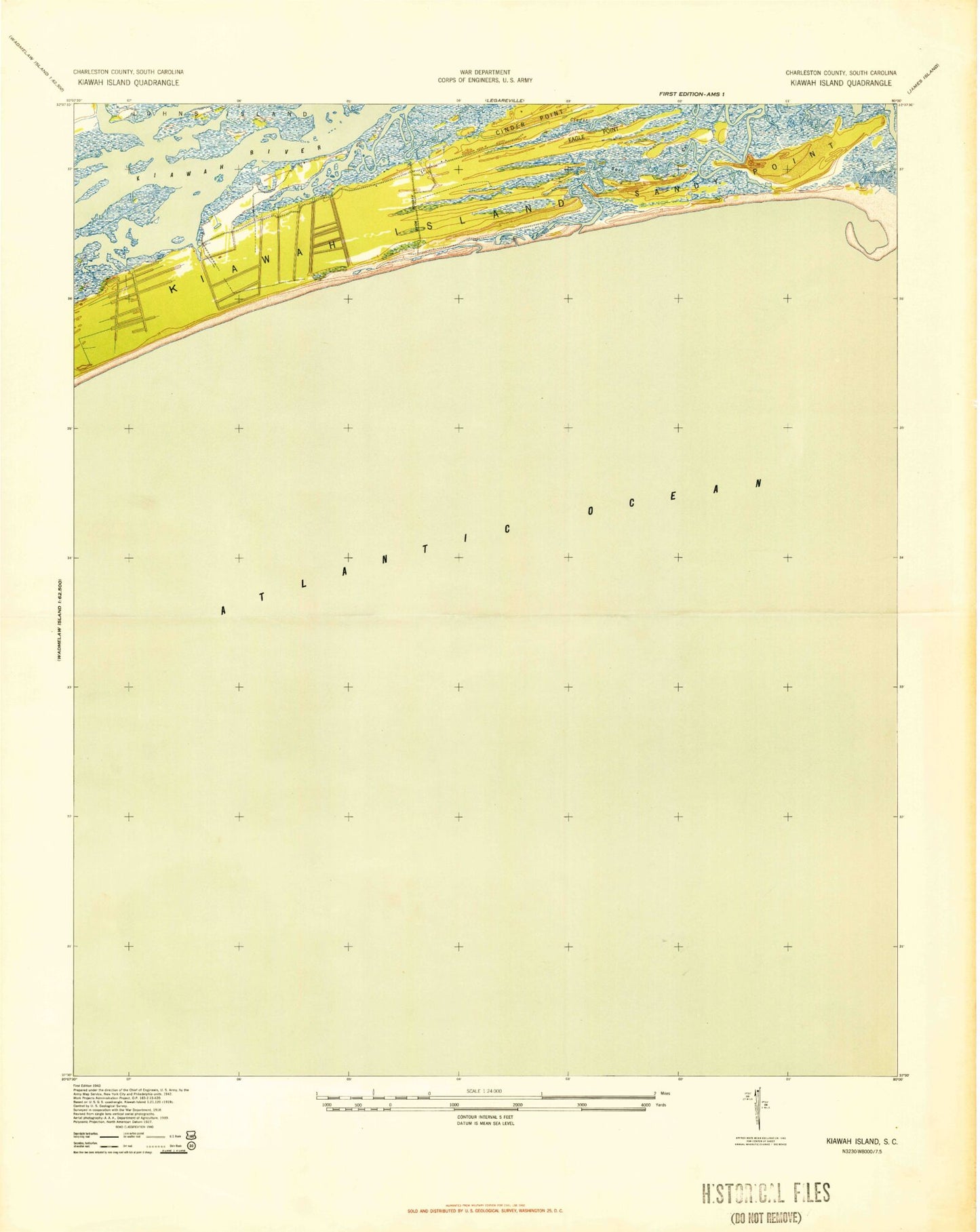
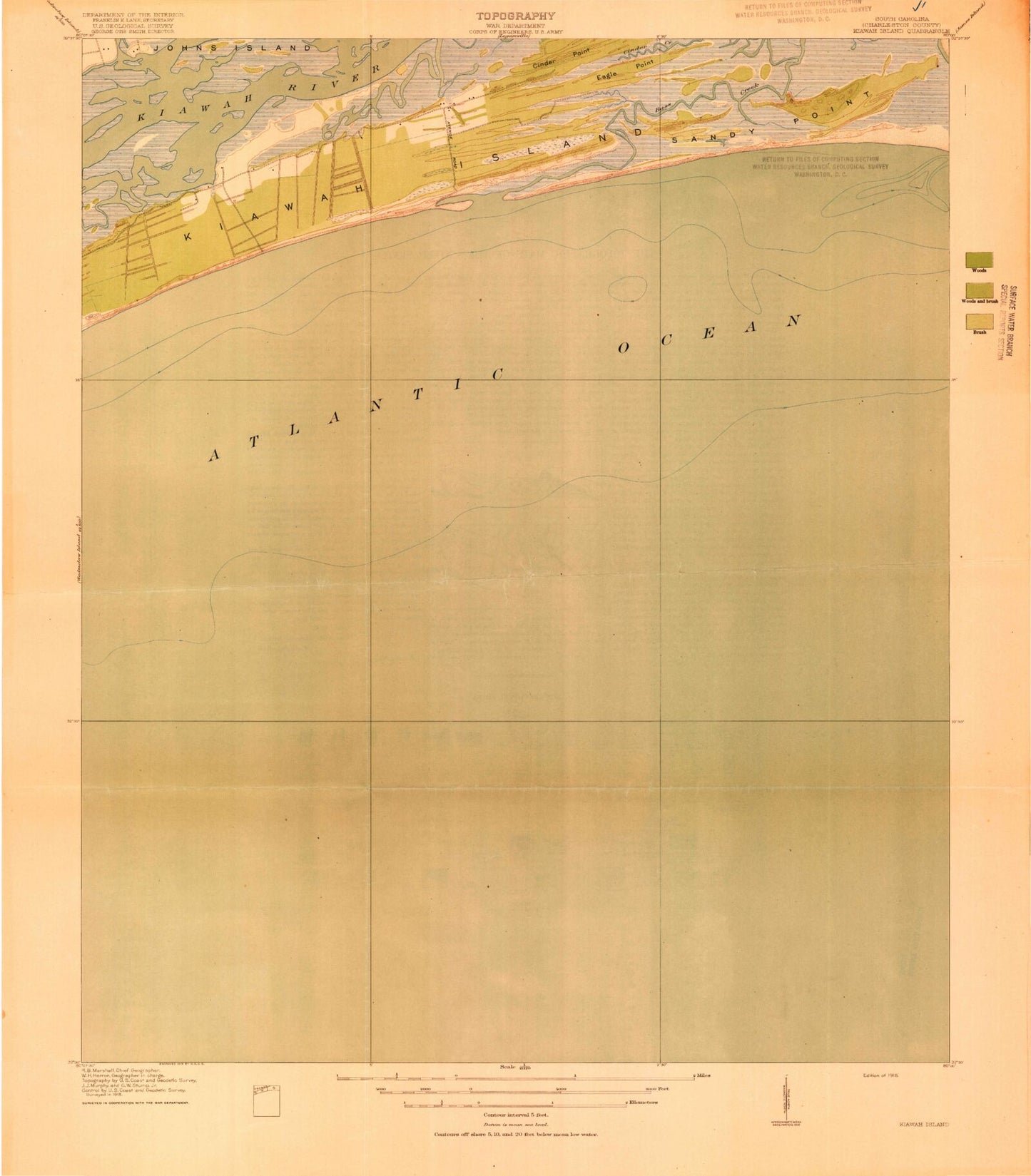
Historical USGS topographic quad map of Kiawah Island in the state of South Carolina. Typical map scale is 1:24,000, but may vary for certain years, if available. Print size: 24" x 27"
This quadrangle is in the following counties: Charleston.
The map contains contour lines, roads, rivers, towns, and lakes. Printed on high-quality waterproof paper with UV fade-resistant inks, and shipped rolled.
Contains the following named places: Bryans Creek, Cinder Point, Eagle Point, Haulover Creek, Kiawah Island, Sandy Point, Shullbred Point, Kiawah Island Bass Pond D-3047 Dam, Kiawah Island, Saint Johns Fire Department Station 4, Saint Johns Fire Department Station 6, Town of Kiawah Island, Ocean Course Golf Course, Kiawah Island-Seabrook Island Division, Bryans Creek, Cinder Point, Eagle Point, Haulover Creek, Kiawah Island, Sandy Point, Shullbred Point, Kiawah Island Bass Pond D-3047 Dam, Kiawah Island, Saint Johns Fire Department Station 4, Saint Johns Fire Department Station 6, Town of Kiawah Island, Ocean Course Golf Course, Kiawah Island-Seabrook Island Division