MyTopo
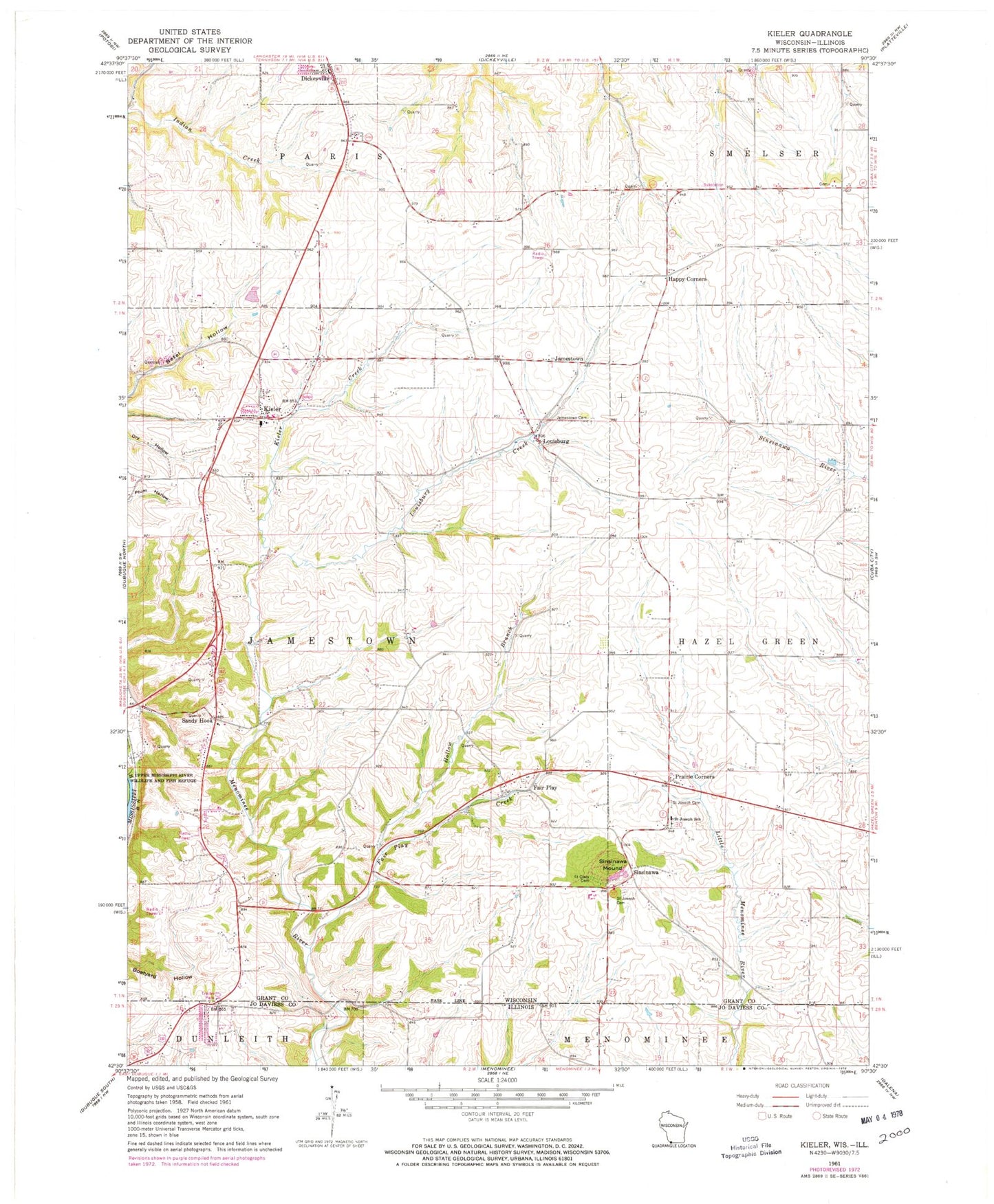
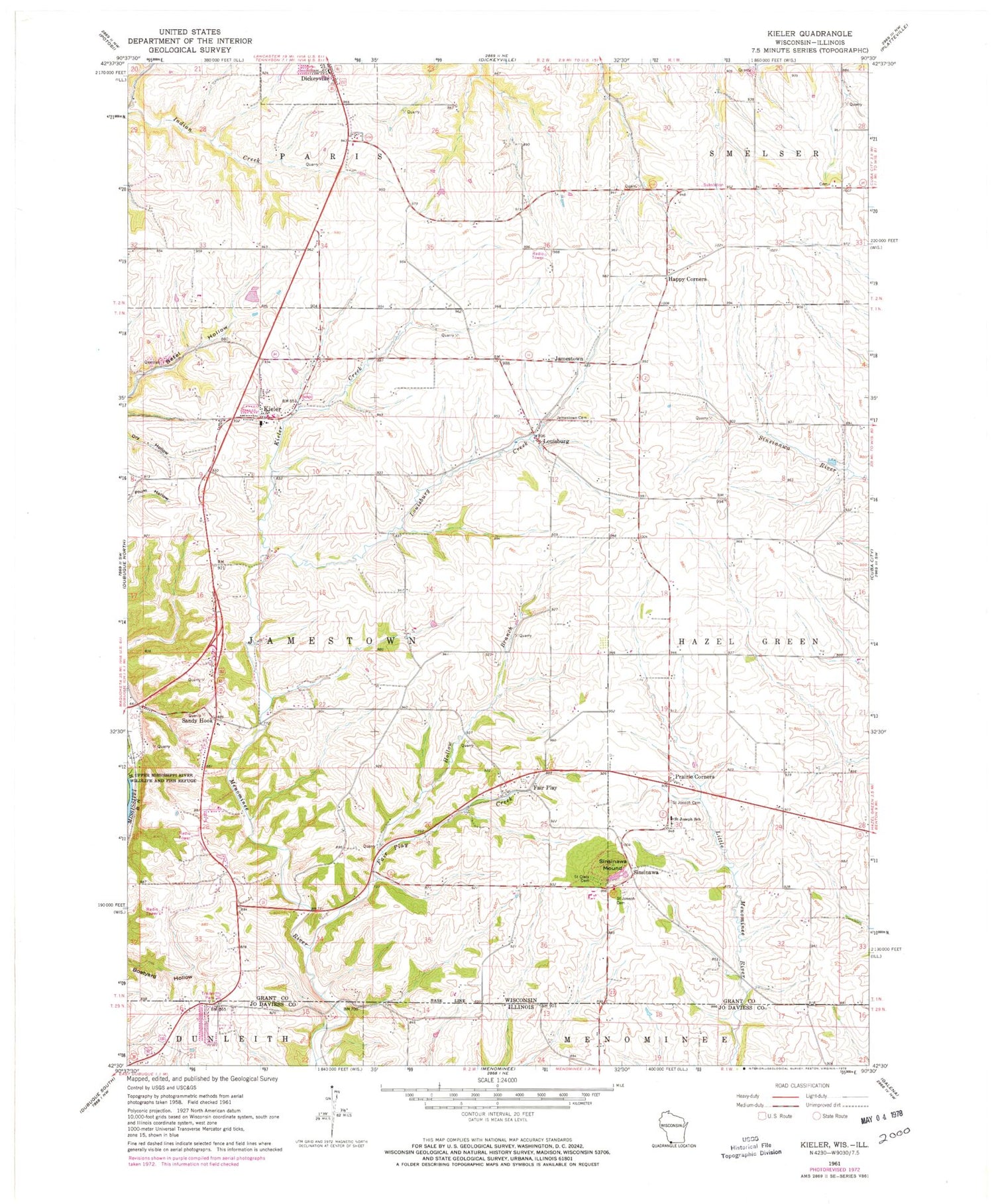
Classic USGS Kieler Wisconsin 7.5'x7.5' Topo Map
Couldn't load pickup availability
Historical USGS topographic quad map of Kieler in the states of Wisconsin, Illinois. Map scale may vary for some years, but is generally around 1:24,000. Print size is approximately 24" x 27"
This quadrangle is in the following counties: Grant, Jo Daviess.
The map contains contour lines, roads, rivers, towns, and lakes. Printed on high-quality waterproof paper with UV fade-resistant inks, and shipped rolled.
Contains the following named places: Beeler Tree Farm, Busy B Farm, Dickeyville Fire and Rescue Department, Dickeyville Wastewater Treatment Facility, Dietzel Farms, Double R Farms, Fair Play, Fair Play Creek, Happy Corners, Hollow Branch, Holy Ghost - Immaculate Conception School, Jamestown, Jamestown Cemetery, Jamestown Fire Department, Kieler, Kieler Census Designated Place, Kieler Creek, Kieler Post Office, Kipp Farms, Kunkel Farms, Louisburg, Louisburg Creek, Maple Leaf Farm, Menominee - Dunleith Fire Department Station 2, Pine Ridge Farm, Placke Farms, Pleasant View Dairy, Prairie Corners, Rigdon Private Airport, Rolling Ridge Ranch, Saint Clara Cemetery, Saint Dominic Cemetery, Saint Joseph Catholic School, Saint Joseph Cemetery, Sandy Hook, Sandy Hook Census Designated Place, Sinsinawa, Sinsinawa Mound, Sinsinawa Post Office, Thommen Farms, Town of Jamestown, Village of Dickeyville, Vosberg Colonial Acres, ZIP Code: 53811


