
MyTopo
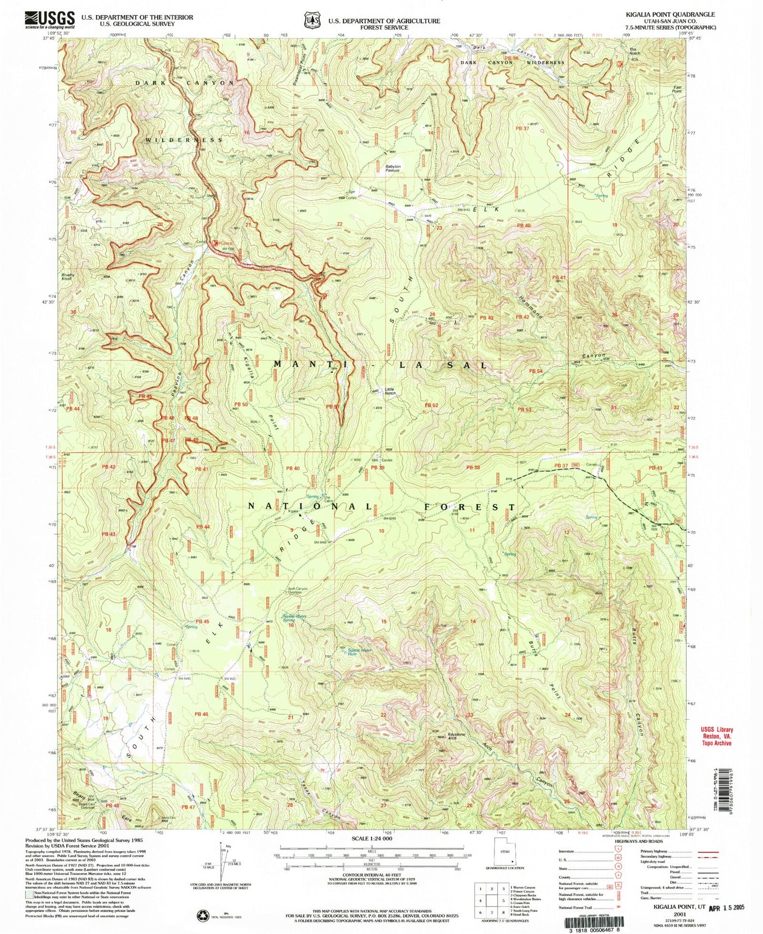
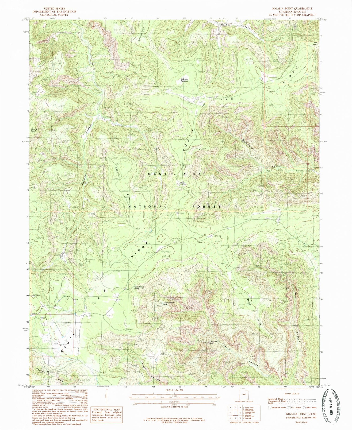
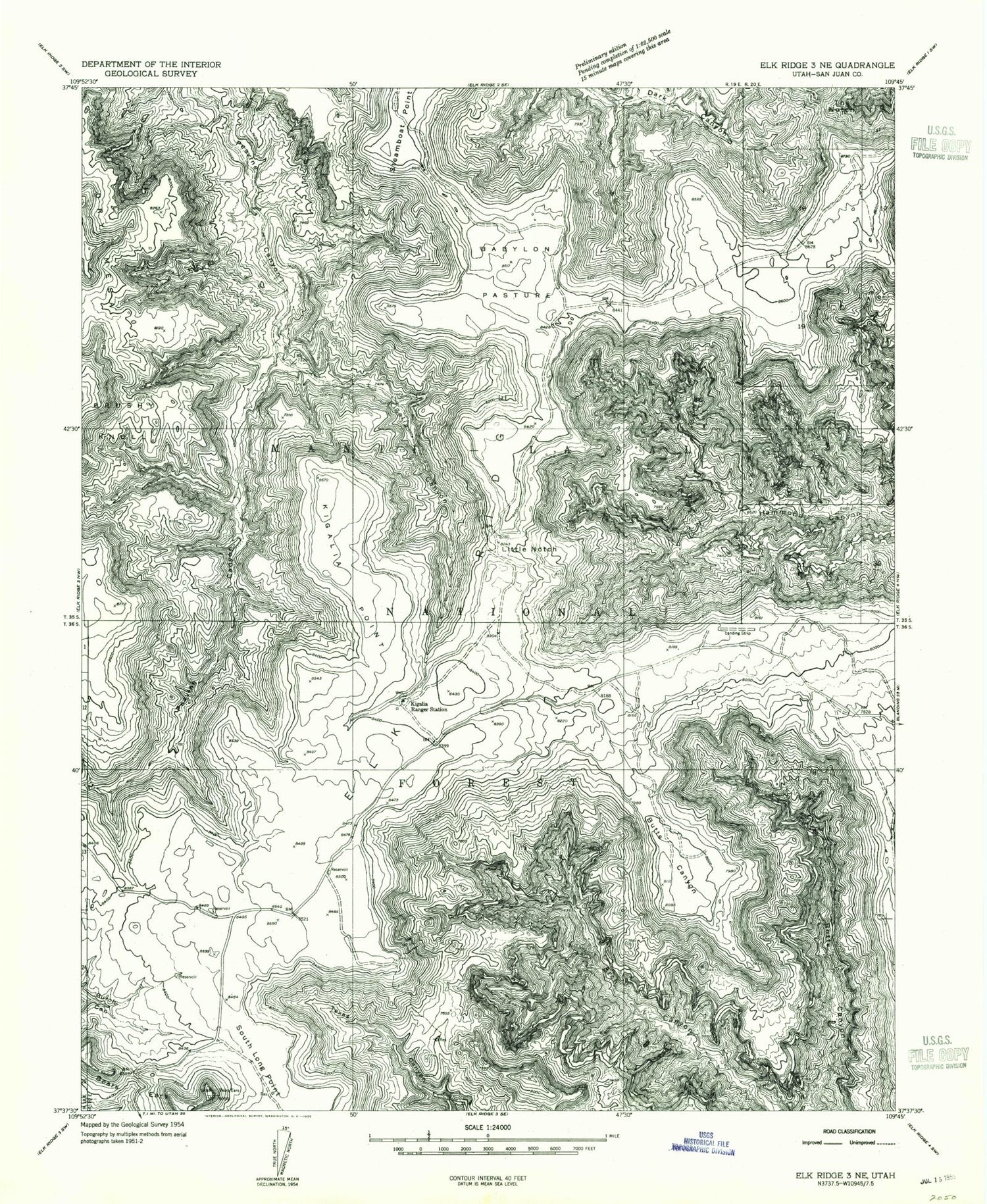
Classic USGS Kigalia Point Utah 7.5'x7.5' Topo Map
Couldn't load pickup availability
Historical USGS topographic quad map of Kigalia Point in the state of Utah. Typical map scale is 1:24,000, but may vary for certain years, if available. Print size: 24" x 27"
This quadrangle is in the following counties: San Juan.
The map contains contour lines, roads, rivers, towns, and lakes. Printed on high-quality waterproof paper with UV fade-resistant inks, and shipped rolled.
Contains the following named places: Babylon Pasture, Bears Ears, East Point, Kigalia Canyon, Kigalia Point, Kigalia Ranger Station, Little Notch, Steamboat Point, The Notch, San Juan County, Butts Point, Keystone Arch, Squaw Water Hole, Squaw Water Spring, Wabin Mine, Ute Cabin, Arch Canyon Overlook, Peavine Trail, Hammond Canyon Point of Interest, Bears Ears Point of Interest, South Elk Ridge, Babylon Pasture, Bears Ears, East Point, Kigalia Canyon, Kigalia Point, Kigalia Ranger Station, Little Notch, Steamboat Point, The Notch, San Juan County, Butts Point, Keystone Arch, Squaw Water Hole, Squaw Water Spring, Wabin Mine, Ute Cabin, Arch Canyon Overlook, Peavine Trail, Hammond Canyon Point of Interest, Bears Ears Point of Interest, South Elk Ridge


