
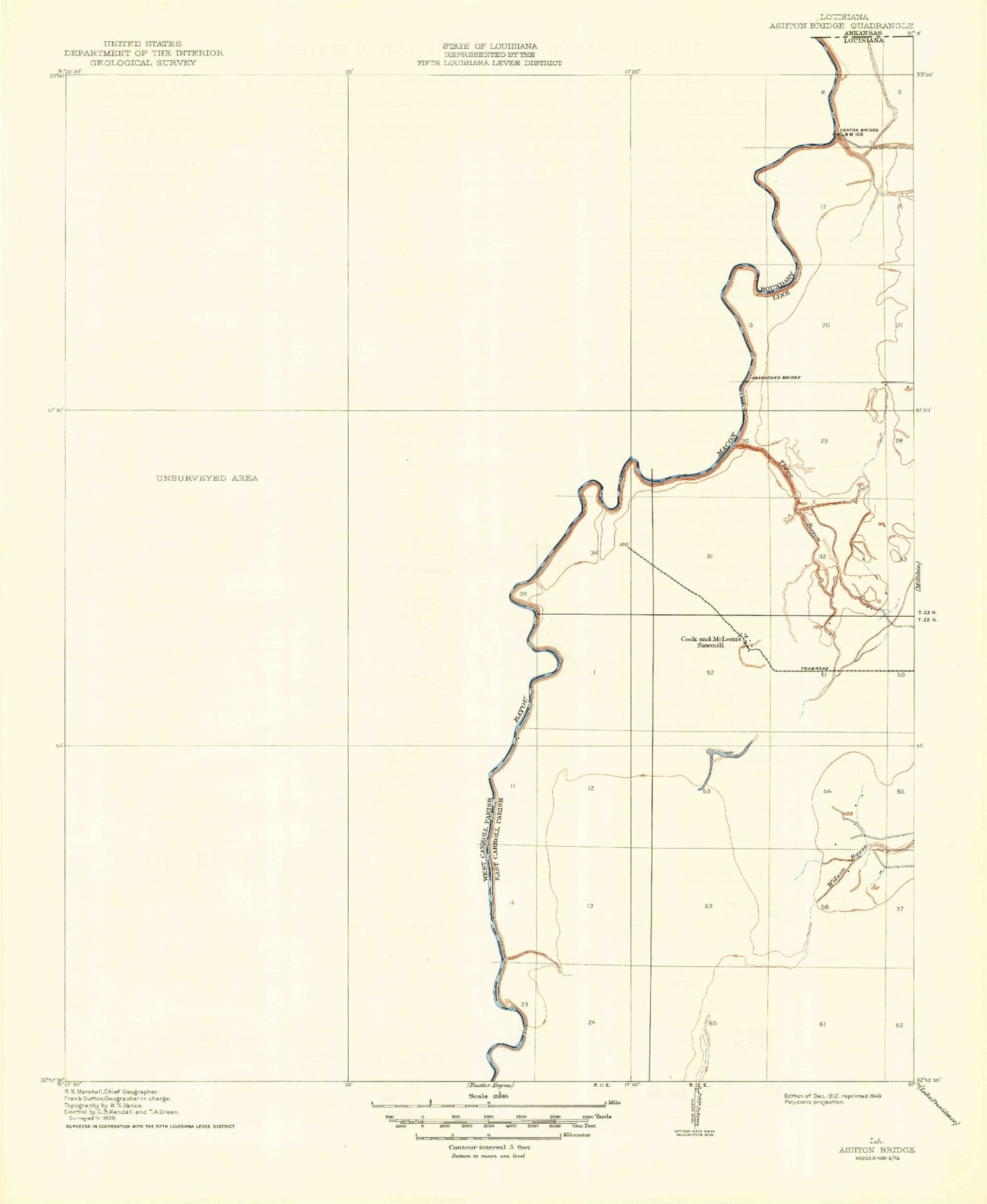
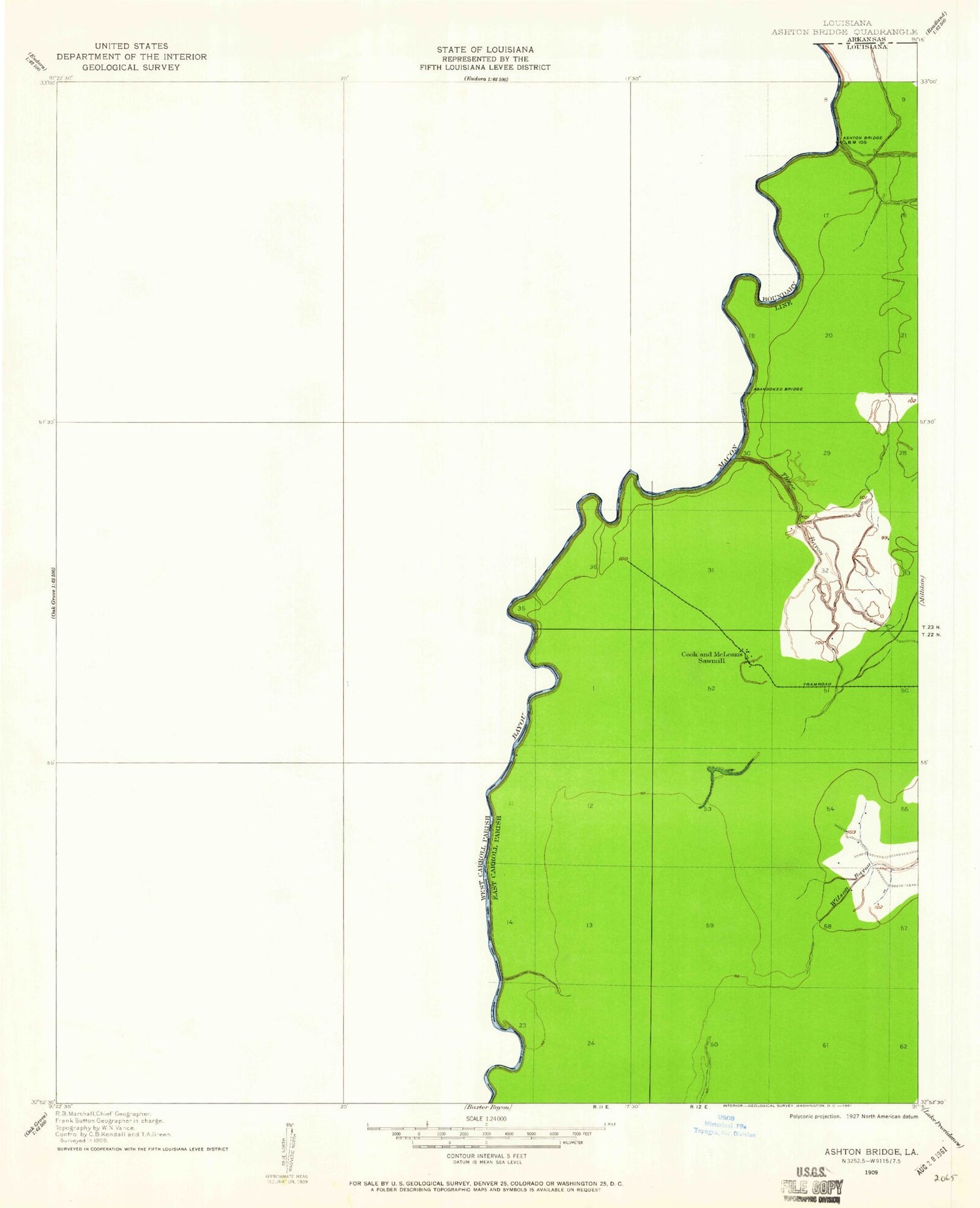
MyTopo
Classic USGS Kilbourne Louisiana 7.5'x7.5' Topo Map
Couldn't load pickup availability
Historical USGS topographic quad map of Kilbourne in the state of Louisiana. Map scale may vary for some years, but is generally around 1:24,000. Print size is approximately 24" x 27"
This quadrangle is in the following counties: East Carroll, West Carroll.
The map contains contour lines, roads, rivers, towns, and lakes. Printed on high-quality waterproof paper with UV fade-resistant inks, and shipped rolled.
Contains the following named places: Ashton Bridge, Bethlehem Church, Bloomshade Church, Chickasaw, Church of Christ, Coleman Bayou, Concord Volunteer Fire Department Oak Grove Station, Hill Bayou, Hill Church, Hill School, Kilbourne, Kilbourne High School, Kilbourne Post Office, Kilbourne Village Police Department, Kilbourne Volunteer Fire Department, Locust Grove Church, Parish Governing Authority District D, Terry, Terry Post Office, Three Bayou, Village of Kilbourne, Ward Five, Wilson Bayou, ZIP Code: 71253


