MyTopo
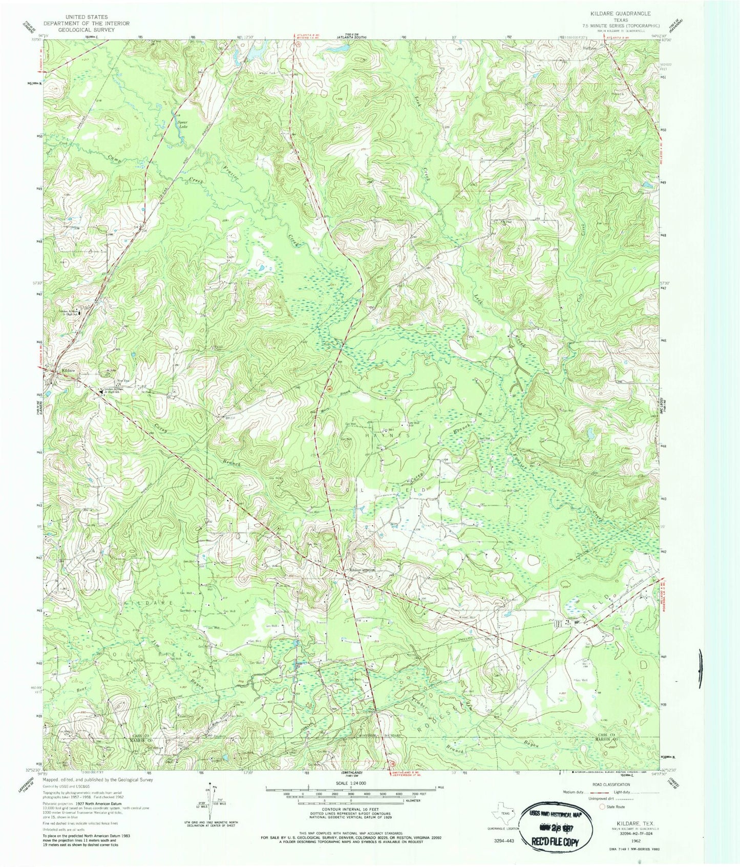
Classic USGS Kildare Texas 7.5'x7.5' Topo Map
Couldn't load pickup availability
Historical USGS topographic quad map of Kildare in the state of Texas. Map scale may vary for some years, but is generally around 1:24,000. Print size is approximately 24" x 27"
This quadrangle is in the following counties: Cass, Marion.
The map contains contour lines, roads, rivers, towns, and lakes. Printed on high-quality waterproof paper with UV fade-resistant inks, and shipped rolled.
Contains the following named places: Bear Creek, Bivins-McLeod Division, Camp Creek, Cass County Fire District 1 Kildare Station, Cole Creek, Corey Branch, Duck Creek, Ferrell Cemetery, Grogan Dam, Grogan Lake, Haynes Oil Field, Huffins, Kildare, Kildare Junction, Kildare Oil Field, Kildare Post Office, Leek Creek, Linden-Kildare Junior High School, Moore Branch, New Zion Church, Saint John Church, Saint Paul Church, Spear Lake, Timber Branch, ZIP Codes: 75555, 75562