MyTopo
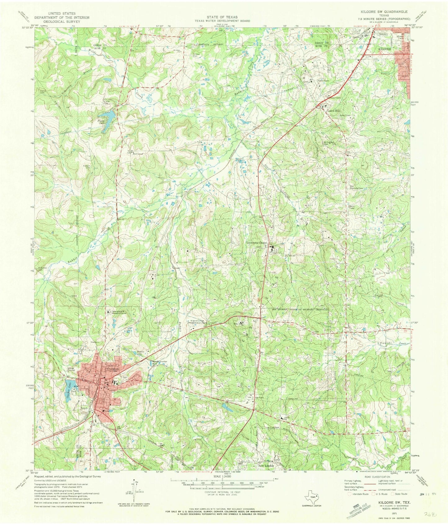
Classic USGS Kilgore SW Texas 7.5'x7.5' Topo Map
Couldn't load pickup availability
Historical USGS topographic quad map of Kilgore SW in the state of Texas. Map scale may vary for some years, but is generally around 1:24,000. Print size is approximately 24" x 27"
This quadrangle is in the following counties: Gregg, Rusk, Smith.
The map contains contour lines, roads, rivers, towns, and lakes. Printed on high-quality waterproof paper with UV fade-resistant inks, and shipped rolled.
Contains the following named places: Cemetery Branch, Choice Cemetery, Church of Christ, City of New London, City of Overton, El Bethel Cemetery, First Baptist Church, First United Methodist Church, Florey Cemetery, Florey Lake, Florey Lake Dam, Fortson Cemetery, Gray Cemetery, Kilgore College Demonstration Farm, KLMG-TV (Longview), KNUE-FM (Tyler), Laird Hill, Laird Hill Post Office, Leveretts Chapel, Leverett's Chapel, Lincoln School, Little Rabbit Creek, Mount Comfort Cemetery, North Overton Dam, North Overton Lake, Overton, Overton City Hall, Overton Division, Overton Elementary School, Overton High School, Overton Police Department, Overton Post Office, Powers Lake, Red Level, Rocky Mount Church, Saint Johns Church, Sexton City, South Overton Dam, South Overton Lake, Star Creek, Star Memorial Cemetery, Texas A and M Research Center, Texas Department of Criminal Justice Billy Moore Correctional Center, Thompson Cemetery, Truth Tabernacle United Pentecostal Church, Wilds Creek, ZIP Codes: 75682, 75684