MyTopo
Classic USGS Kilgore Idaho 7.5'x7.5' Topo Map
Couldn't load pickup availability
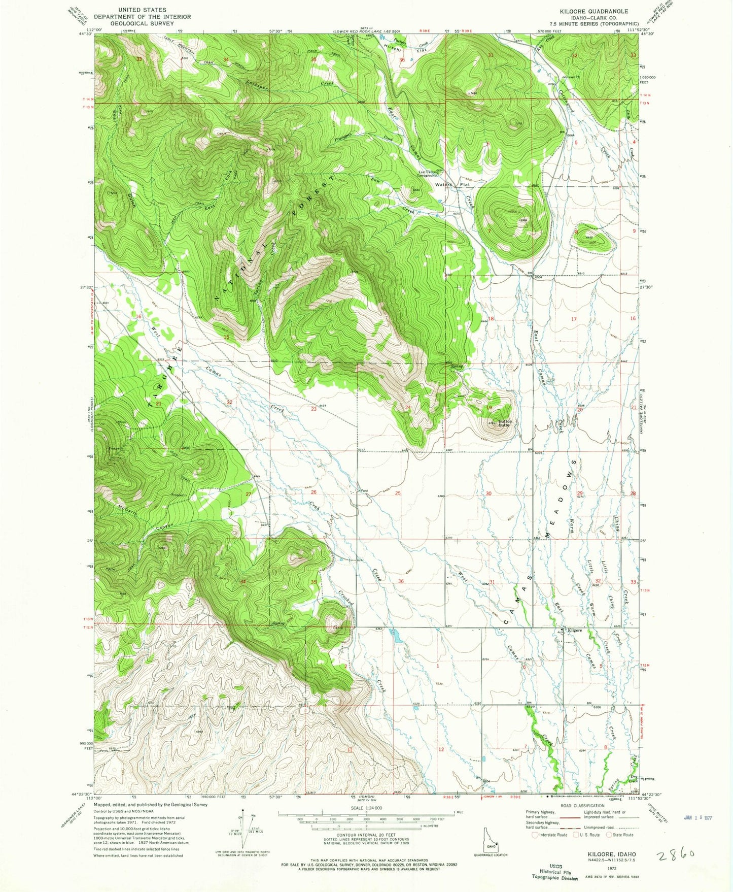
Historical USGS topographic quad map of Kilgore in the state of Idaho. Map scale may vary for some years, but is generally around 1:24,000. Print size is approximately 24" x 27"
This quadrangle is in the following counties: Clark.
The map contains contour lines, roads, rivers, towns, and lakes. Printed on high-quality waterproof paper with UV fade-resistant inks, and shipped rolled.
Contains the following named places: Bear Gulch, Button Butte, Camas Meadows, Ching Creek, Dry Creek, East Camos Campground, East Fork Bear Gulch, Fryingpan Creek, Hirschi Flat, Kay Creek, Kilgore, Larkspur Creek, Little Ching Creek, Little Warm Creek, McGarry Canyon, Pasture Creek, Saw Creek, Spruce Creek, Warm Creek, Waters Flat