MyTopo
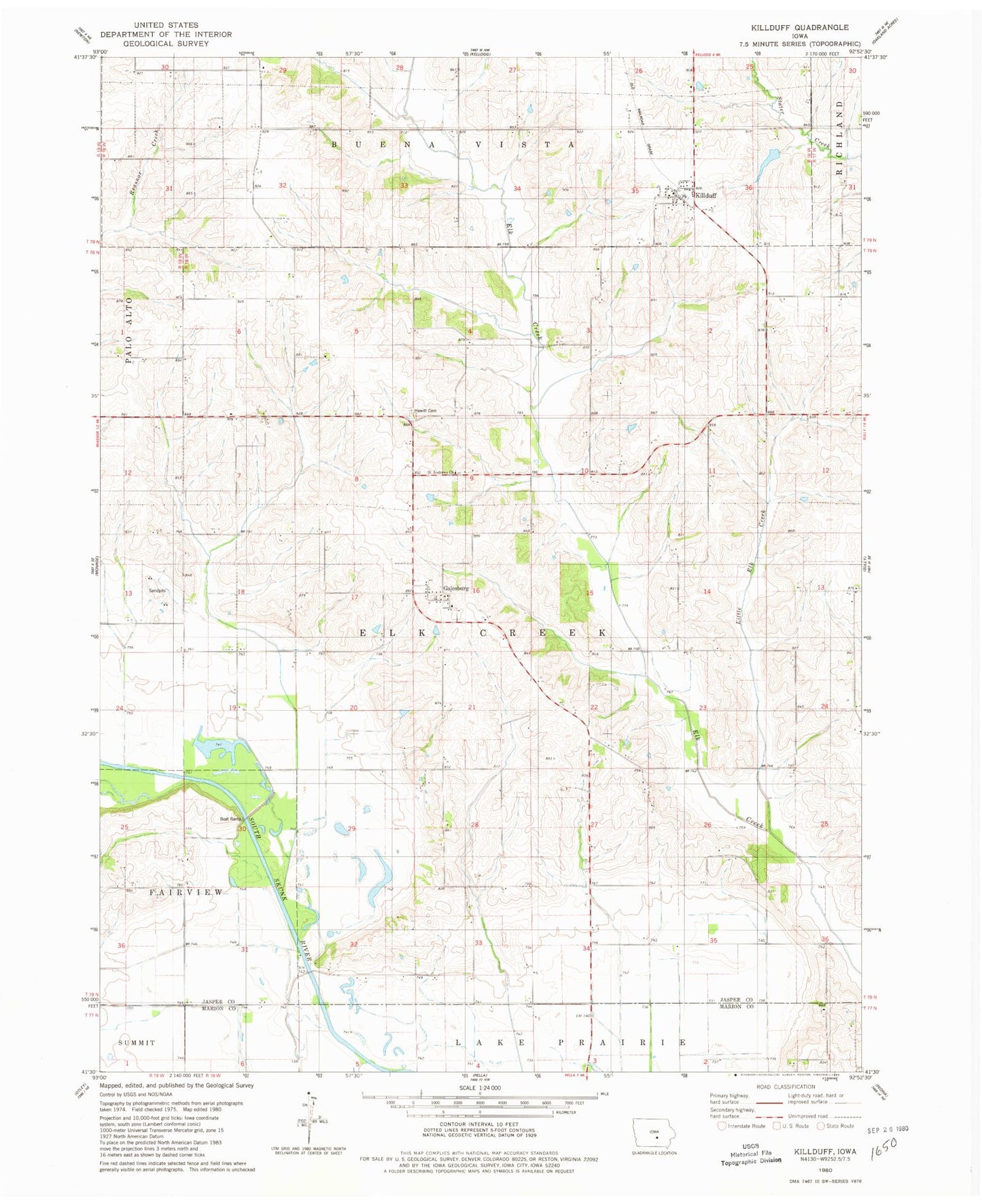
Classic USGS Killduff Iowa 7.5'x7.5' Topo Map
Couldn't load pickup availability
Historical USGS topographic quad map of Killduff in the state of Iowa. Map scale may vary for some years, but is generally around 1:24,000. Print size is approximately 24" x 27"
This quadrangle is in the following counties: Jasper, Marion.
The map contains contour lines, roads, rivers, towns, and lakes. Printed on high-quality waterproof paper with UV fade-resistant inks, and shipped rolled.
Contains the following named places: Dairy Grove Post Office, Dearinger Cemetery, Elk Creek Post Office, Galesburg, Galesburg Post Office, Hewitt Cemetery, Killduff, Killduff Fire Department, Killduff Post Office, Killduff United Methodist Church, Kleins Cemetery, Little Elk Creek, Saint Andrews Cemetery, Saint Andrews Church, South Skunk River Wildlife Area, Township of Elk Creek, Van Zante Creek, ZIP Code: 50232