
MyTopo
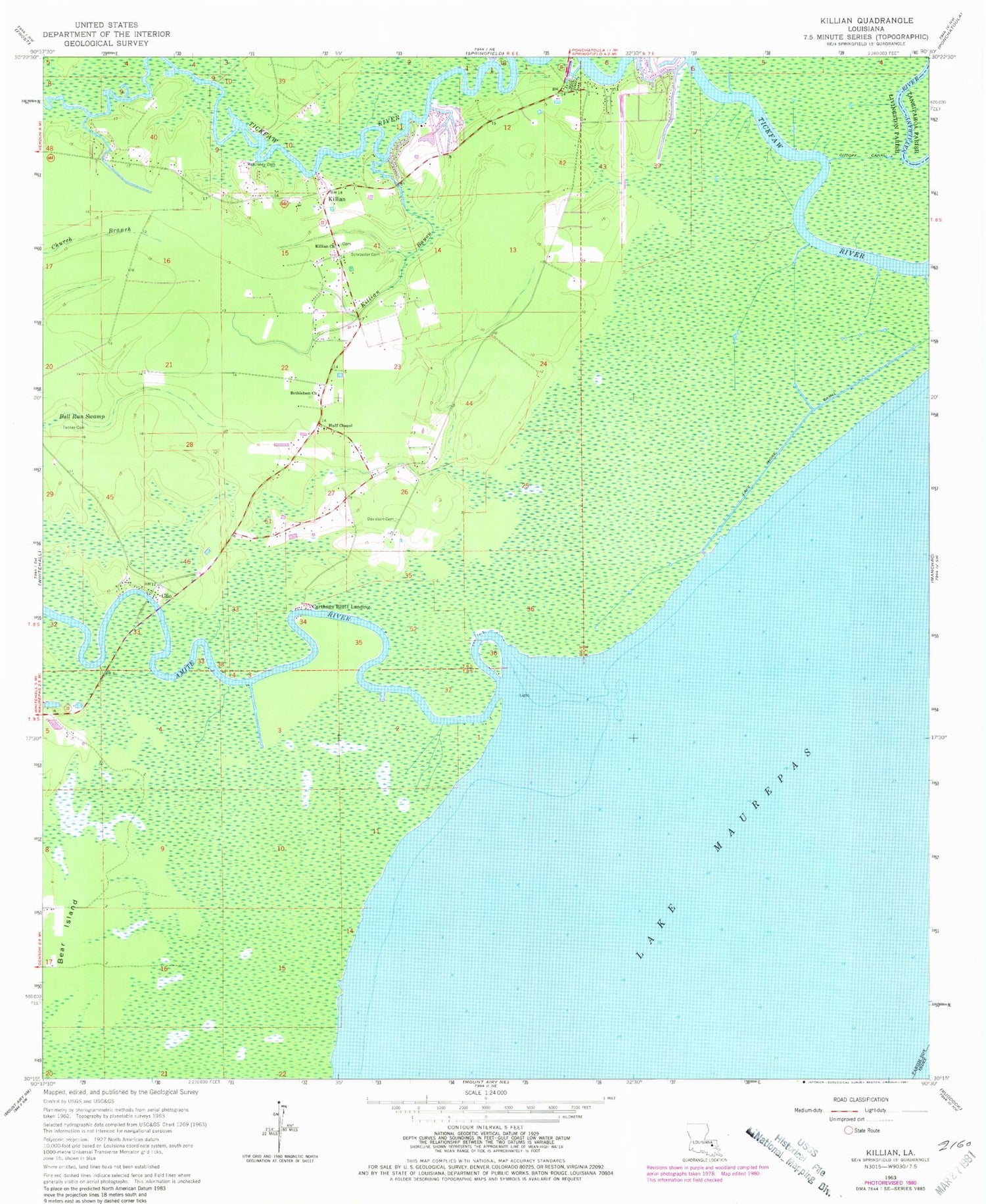
Classic USGS Killian Louisiana 7.5'x7.5' Topo Map
Couldn't load pickup availability
Historical USGS topographic quad map of Killian in the state of Louisiana. Map scale may vary for some years, but is generally around 1:24,000. Print size is approximately 24" x 27"
This quadrangle is in the following counties: Livingston, St. John the Baptist, Tangipahoa.
The map contains contour lines, roads, rivers, towns, and lakes. Printed on high-quality waterproof paper with UV fade-resistant inks, and shipped rolled.
Contains the following named places: Amite River, Amite River Light House, Bear Island, Bethlehem Baptist Church, Bethlehem Cemetery, Big Liveoak Island, Carthage Bluff Landing, Clio, Cutoff Canal, Davidson Cemetery, Gum Swamp, Huff Chapel United Methodist Church, Killian, Killian Bayou, Killian Church, Killian School, Lake Maurepas, Lake Shore Canal, Little Liveoak Island, Long Island, McKinney Cemetery, Parish Governing Authority District 8, Pine Island, Rosenwald School, Schroeder Cemetery, Sharp Islands, Tickfaw Marina, Town of Killian, Tucker Cemetery


