MyTopo
Classic USGS Kilsock Island South Carolina 7.5'x7.5' Topo Map
Couldn't load pickup availability
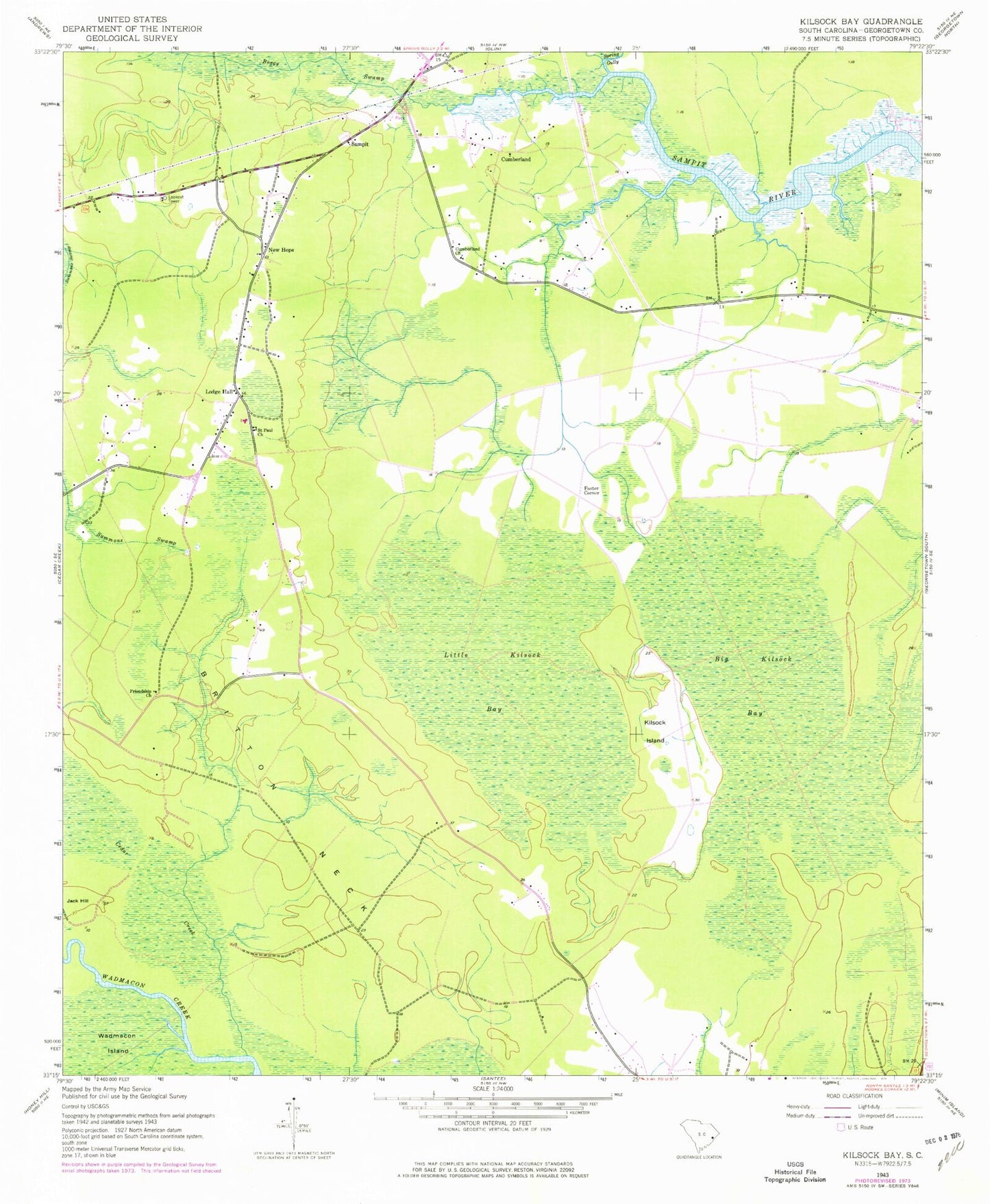
Historical USGS topographic quad map of Kilsock Island in the state of South Carolina. Map scale may vary for some years, but is generally around 1:24,000. Print size is approximately 24" x 27"
This quadrangle is in the following counties: Georgetown.
The map contains contour lines, roads, rivers, towns, and lakes. Printed on high-quality waterproof paper with UV fade-resistant inks, and shipped rolled.
Contains the following named places: Big Kilsock Bay, Boggy Swamp, Britt Branch, Britton Neck, Cedar Creek, Cumberland, Cumberland Church, Cumberland School, Foster Corner, Friendship Church, Kilsock Island, Little Kilsock Bay, Lodge Hall, New Hope, New Hope Church, New Hope School, Saint Paul Church, Sampit, Sampit Church, Sampit Elementary School, Sampit Lookout Tower, Sampit Park, Spring Gully, Woodstock Plantation