MyTopo
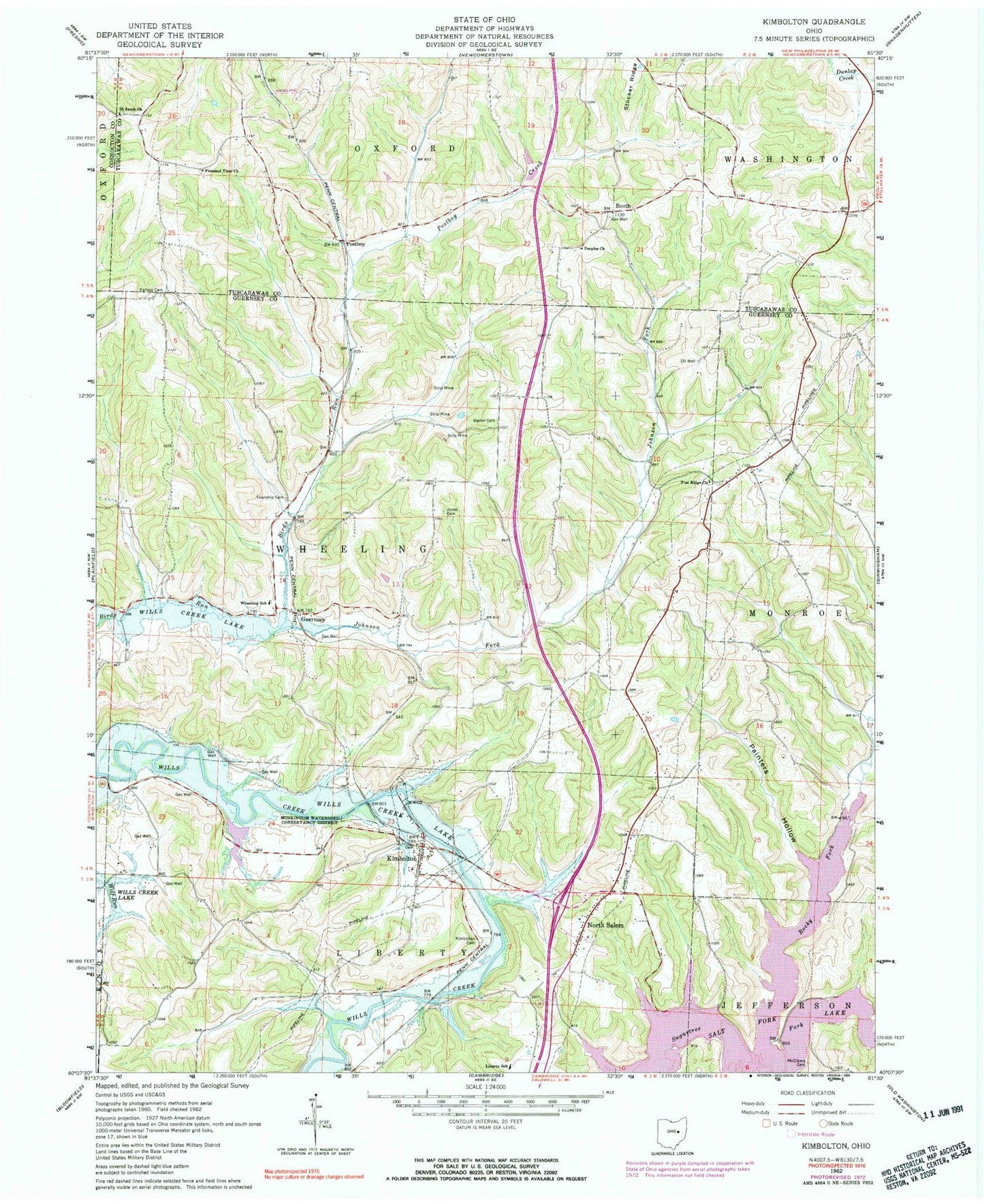
Classic USGS Kimbolton Ohio 7.5'x7.5' Topo Map
Couldn't load pickup availability
Historical USGS topographic quad map of Kimbolton in the state of Ohio. Map scale may vary for some years, but is generally around 1:24,000. Print size is approximately 24" x 27"
This quadrangle is in the following counties: Coshocton, Guernsey, Tuscarawas.
The map contains contour lines, roads, rivers, towns, and lakes. Printed on high-quality waterproof paper with UV fade-resistant inks, and shipped rolled.
Contains the following named places: Anderson School, Bethel Cemetery, Bethel CHurch, Bishard Pond, Bishard Pond Dam, Booth, Booth Post Office, Earleys Cemetery, Flat Ridge Cemetery, Flat Ridge Church, Full Gospel Temple, Guernsey, Guernsey Community Center, Guernsey Post Office, High Hill School, Johnson Fork, Jones Cemetery, Kimbolton, Kimbolton Cemetery, Kimbolton Census Designated Place, Kimbolton Post Office, Liberty Community Volunteer Fire Department, Liberty Elementary School, McCleary Cemetery, North Salem, North Salem Cemetery, North Salem Community Church, North Salem Post Office, North Salem United Presbyterian Church, Old Kimbolton Cemetery, Painters Hollow, Partridge Trap School, Peoples Church, Peoples Methodist Episcopal Cemetery, Pleasant View Cemetery, Pleasant View Church, Postboy, Postboy Creek, Revival Barn Church, Rocky Fork, Saint Jacobs Lutheran Cemetery, Salt Fork State Park and Wildlife Area, Science Hill School, Seminary School, Township Cemetery, Township of Liberty, Township of Wheeling, Wheeling School, Zion Church, ZIP Code: 43749