MyTopo
Classic USGS Kincheloe Ranch Montana 7.5'x7.5' Topo Map
Regular price
$16.95
Regular price
Sale price
$16.95
Unit price
per
Couldn't load pickup availability
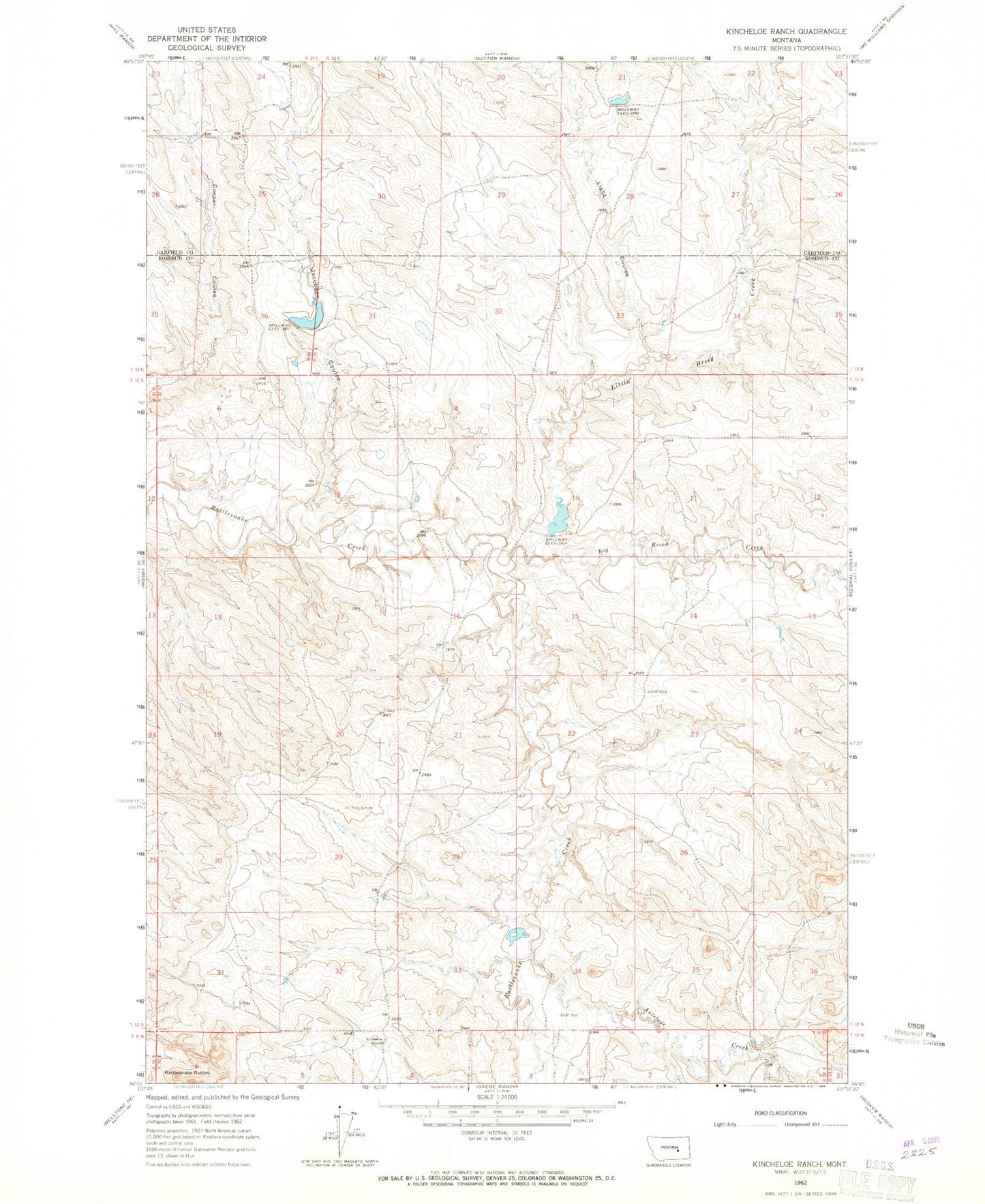
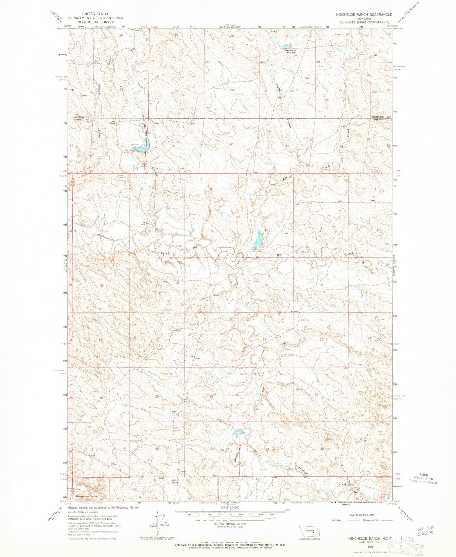
Historical USGS topographic quad map of Kincheloe Ranch in the state of Montana. Map scale may vary for some years, but is generally around 1:24,000. Print size is approximately 24" x 27"
This quadrangle is in the following counties: Garfield, Rosebud.
The map contains contour lines, roads, rivers, towns, and lakes. Printed on high-quality waterproof paper with UV fade-resistant inks, and shipped rolled.
Contains the following named places: Antelope Creek, Big Breed Creek, Bs Kincheloe Dam, BS Kincheloe Number 1 Dam, Grebe Number 1 Dam, Jacobsen Coulee, Kincheloe Ranch, L Galt Number 25 Dam, Light Coulee, Little Breed Creek, Montana Number 10 Dam, Rattlesnake Buttes, Sagdell School, Sagedale Post Office